Mount St. Helens National Volcanic Monument, National volcanic monument in Cowlitz County, United States
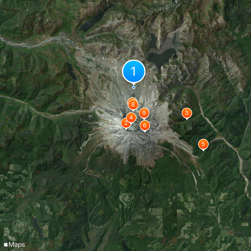
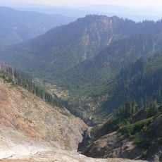
Mount St. Helens National Volcanic Monument is a protected landscape spanning roughly 110,000 acres with lava fields, ash flows, and blast zones within Gifford Pinchot National Forest. The terrain features a mix of barren volcanic surfaces and recovering forest, creating varied ecosystems across the monument.
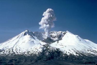
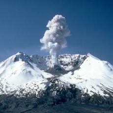
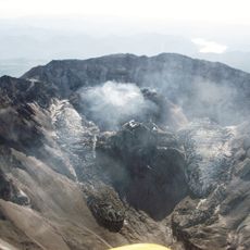
A catastrophic eruption on May 18, 1980, dramatically altered the landscape and reduced the volcano's elevation by over 4,000 feet, creating a horseshoe-shaped crater roughly one mile across. This event reshaped the entire region and set in motion a process of natural recovery that continues to this day.
Indigenous peoples including the Cowlitz and Klickitat gave this volcano names like Lawetlat'la and Loowit, weaving it into their traditional stories of the Bridge of the Gods. This heritage remains visible in how local communities speak about and relate to the mountain today.
Visitors should be aware that hiking and activities have varying requirements depending on season and weather conditions. It is wise to check current conditions and prepare with appropriate gear, as circumstances can shift quickly on the mountain.
A glacier formed immediately after the eruption and continues to grow at an unusually rapid rate, even as volcanic activity persists within the crater. This rare combination of glacier formation and ongoing volcanic processes makes this place particularly noteworthy for scientific observation.
The community of curious travelers
AroundUs brings together thousands of curated places, local tips, and hidden gems, enriched daily by 60,000 contributors worldwide.