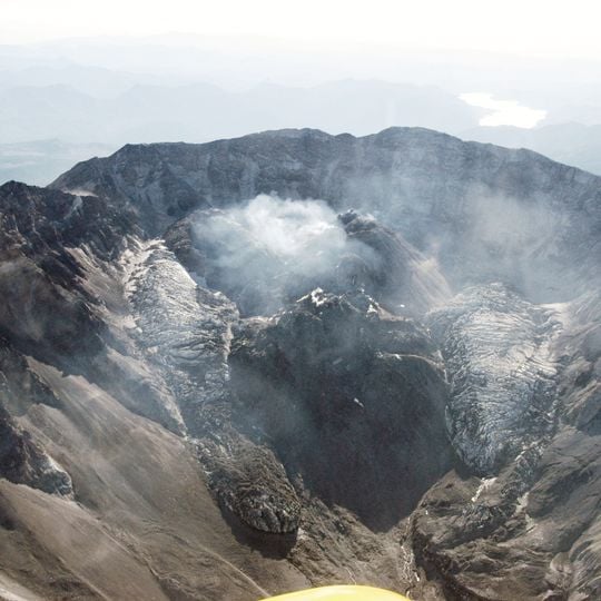
Crater Glacier, Glacier in Mount St Helens crater, United States.
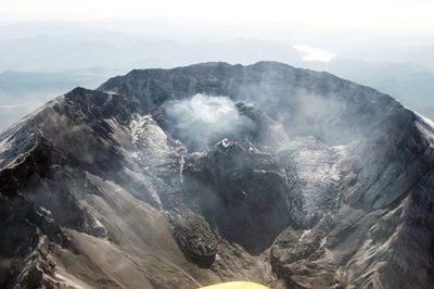
Crater Glacier sits in the horseshoe-shaped northern section of Mount St Helens' crater, made of ice mixed with rock and debris. This frozen mass reaches depths of around 650 feet and grows thicker from constant snowfall and rockfall from the crater walls.
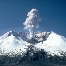
Snow began accumulating in the crater in the winter of 1980–1981, and the ice thickened by up to 50 feet (15 m) a year. Scientists working in the crater found the glacier seven to nine years later, but its existence was not publicized until 1999. The 2004–2008 eruptions built new lava domes that compressed the ice, and in May 2008 the two arms joined north of the 1980s dome.
Scientists informally called it "Crater Glacier" from the late 1980s, and the name appeared in scientific publications. One paper used "Amphitheater Glacier", a name found nowhere else. In late 2004 agencies first chose Tulutson Glacier, then settled on Crater Glacier as the official name.
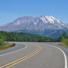
The crater is reached only by climbing the Monitor Ridge route from Climbers Bivouac, a steep 4.5-mile ascent over loose ash and rock. A climbing permit is required above 4,800 feet, and the route is usually free of snow only from July to September. The crater rim can be approached but not entered, and the glacier is best seen from the south rim.
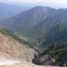
The ice caves that once drew explorers no longer exist: the 2004–2008 dome growth and eruptions destroyed them. Before that, fumaroles on the crater floor melted about 2.4 km of passages, mapped in the 1990s. The glacier's meltwater now feeds Loowit Creek.
The community of curious travelers
AroundUs brings together thousands of curated places, local tips, and hidden gems, enriched daily by 93,773 contributors worldwide.