

Gifford Pinchot National Forest
29.5 km
Goat Rocks Wilderness
30.1 km
Mount Adams Wilderness
34.2 km
Tatoosh Wilderness
31.4 km
Gilbert Peak
33.1 km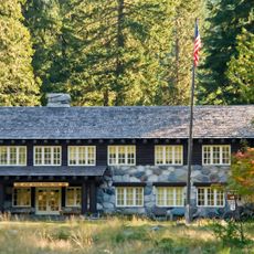
Longmire Buildings
33.6 km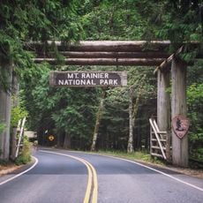
Nisqually Entrance Historic District
33.2 km
Packwood Glacier
29.8 km
McCall Glacier
31.1 km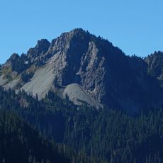
Chutla Peak
34.1 km
La Wis Wis Guard Station No. 1165
31.9 km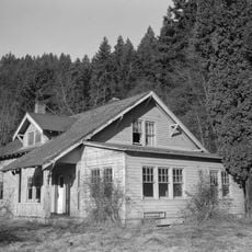
Randle Ranger Station-Work Center
13.5 km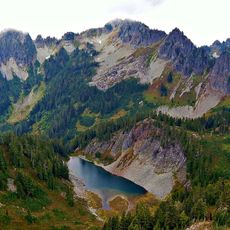
Wahpenayo Peak
33.6 km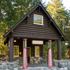
Longmire Service Station
33.5 km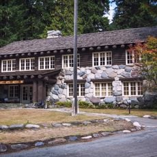
Longmire Administration Building
33.6 km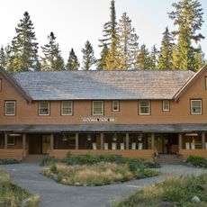
National Park Inn
33.5 km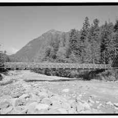
Longmire Suspension Bridge
33.5 km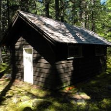
Longmire Campground Comfort Station No. L-302
33.2 km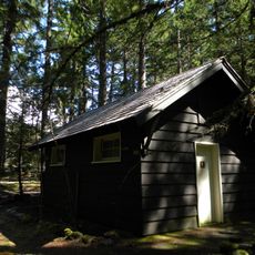
Longmire Campground Comfort Station No. L-303
33 km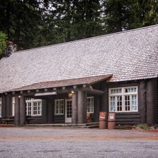
Longmire Historic District
33.5 km
Longmire Museum
33.6 km
Longmire Community Building
33.2 km
Longmire General Store
33.5 km
Longmire Library
33.6 km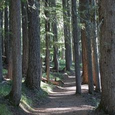
Rampart Ridge Trail
33.6 km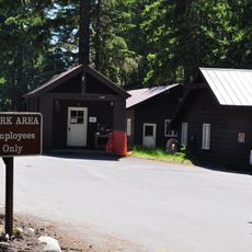
Longmire Oil House
33.5 km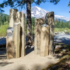
Mount Rainier National Park Valor Memorial
33.2 km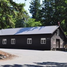
Longmire Warehouse Building
33.5 kmReviews
Visited this place? Tap the stars to rate it and share your experience / photos with the community! Try now! You can cancel it anytime.
Discover hidden gems everywhere you go!
From secret cafés to breathtaking viewpoints, skip the crowded tourist spots and find places that match your style. Our app makes it easy with voice search, smart filtering, route optimization, and insider tips from travelers worldwide. Download now for the complete mobile experience.

A unique approach to discovering new places❞
— Le Figaro
All the places worth exploring❞
— France Info
A tailor-made excursion in just a few clicks❞
— 20 Minutes