Goat Rocks Wilderness, Protected wilderness area in Gifford Pinchot National Forest, Washington, US
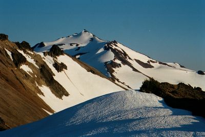
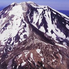
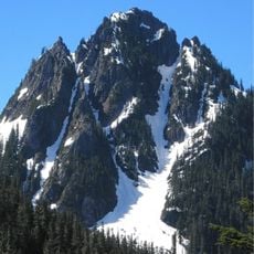
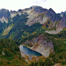
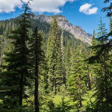
Goat Rocks Wilderness is a protected mountain region with granite peaks, alpine meadows, and multiple hiking trails situated between two major volcanoes. The area features active glaciers on northern slopes and offers steep mountain paths suitable for various fitness levels.
The area was first designated as a primitive protected zone in 1931 and gained wilderness status through the Wilderness Act of 1964. This federal recognition secured the landscape from large-scale development and preserved the mountains for future generations.
The Pacific Crest Trail passes through this land as a major hiking route connecting multiple states. Hikers use this section to prepare for long-distance treks and experience the transition between different mountain regions.
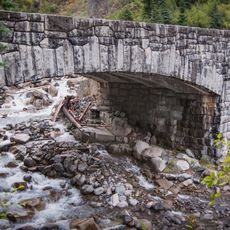
The area is accessible through several entry points along US Route 12 and offers both short hikes and multi-day treks. Summer is the best season when trails are snow-free and conditions are safest for travel.
The area contains four active glaciers on the northern slopes of a former volcanic mass, making it a significant site for glacier research. These ice fields are rare and offer visitors an unexpected arctic experience in the Cascades.
The community of curious travelers
AroundUs brings together thousands of curated places, local tips, and hidden gems, enriched daily by 60,000 contributors worldwide.