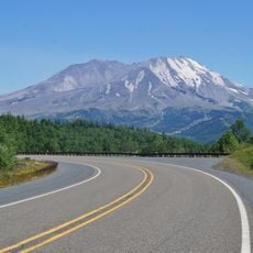
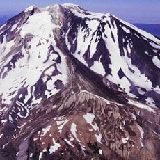
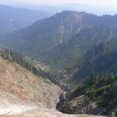
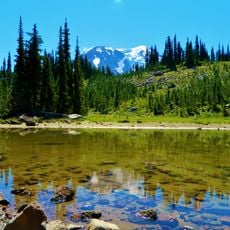
Adams Glacier, Alpine glacier on Mount Adams, Washington State.
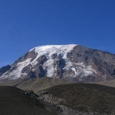
Adams Glacier is a large expanse of ice on Mount Adams's northwestern slope, flowing downward from the summit cap and terminating at lower elevations. The surface displays characteristic crevasses and ice formations that are visible throughout the year and shape the appearance of the upper mountain.
Adams Glacier was mapped and named in 1901 by Harry Fielding Reid during his survey of Mount Adams; his guide Claude Ewing Rusk proposed calling it Reid Glacier, but Reid declined and the name Adams Glacier was kept. Fred Beckey, Dave Lind and Robert Mulhall made the first ascent of the glacier in July 1945. Its area fell from about 6.93 km2 in 1904 to 2.2 km2 in 2021, a loss of 68 percent.
The glacier's name comes from a 1901 mapping dispute: guide Claude Ewing Rusk proposed naming it for Harry Fielding Reid, who refused to put his own name on his map and pointed to the Mazamas' plan to name a Mount Hood glacier after him. Rusk conceded, and the icefall route was first climbed by Fred Beckey, Dave Lind and Robert Mulhall in July 1945.
Adams Glacier is reached by climbing from the High Camp area on Mount Adams's northwest side; the route crosses the steep icefall between roughly 11,800 and 9,200 feet, where seracs demand rope and glacier-travel skills. The easternmost ice tongue ends at a small ice-choked tarn above High Camp, a landmark for locating the terminus.
In 1901, mapmaker Harry Fielding Reid refused to let his guide Claude Ewing Rusk name the glacier after him, since he thought it improper to put his own name on a map he was drawing; the Mazamas were also seeking to name a Mount Hood glacier for Reid. Rusk conceded, and the ice became Adams Glacier. The glacier feeds both Adams Creek, a Cispus River tributary, and the Lewis River.
The community of curious travelers
AroundUs brings together thousands of curated places, local tips, and hidden gems, enriched daily by 95,016 contributors worldwide.