Yakima County

Log in to your account

AroundUs is a community-driven map of interesting places, built by curious explorers like you. It grows with every review, story, and photo you share.
Connect to save your favorite spots, contribute locations, and create personalized routes.
Continue with Google
Continue with Apple
Continue with X
Continue with Facebook
Continue with email
By continuing, you accept our Terms and Conditions and our Privacy Policy
Create an account
Add to collection
Map
Suggest a change
Share

Yakima County, Administrative division in Washington State, US

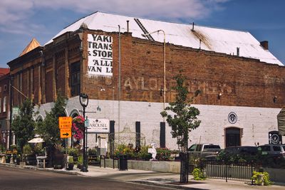
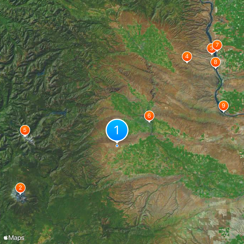
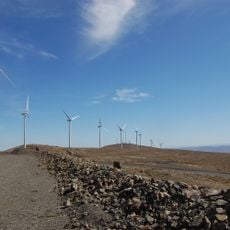
Yakima County spans south-central Washington, connecting desert areas, mountains, and farmland between the Cascade Range and Columbia Basin. The landscape is dominated by fruit orchards, hop fields, and river valleys that define the region's character.

The establishment of Yakima County in 1886 marked the start of organized governance in an area where Native American tribes had long lived. Early development was shaped by railroad connections and later by irrigation technology that enabled agriculture to flourish.

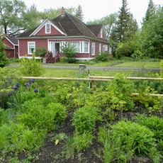
The Yakama Nation's traditions continue to shape daily life in the region, while farming communities have built an agricultural identity centered on orchards and hops. The visible landscape reflects how these groups use and value the land for their livelihoods.

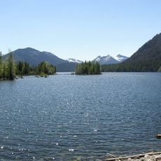
The area is easy to navigate by car via highways and offers access to rivers and trails for visitors. It helps to plan around the region's seasonal weather changes when deciding when to visit.

The county produces roughly three-quarters of the nation's hops, making it the hub of the brewing industry in North America. This concentration stems from ideal growing conditions and a farming tradition spanning more than a century.

Location: Washington

Inception: 1865

Capital city: Yakima

Shares border with: Pierce County, Lewis County, Skamania County, Kittitas County, Klickitat County, Grant County, Benton County, King County

Website: http://yakimacounty.us

GPS coordinates: 46.46000,-120.74000

Latest update: December 19, 2025 23:40

Photos
Around this place
Mount Adams
United States of America

Mount Adams

64.5 km
Ginkgo Petrified Forest State Park
United States of America

Ginkgo Petrified Forest State Park

78.3 km
Iron Horse State Park
United States of America

Iron Horse State Park

64.7 km
Goat Rocks Wilderness
United States of America

Goat Rocks Wilderness

55 km
Yakima SunDome
United States of America

Yakima SunDome

24.1 km
Grandfather Cuts Loose the Ponies
United States of America

Grandfather Cuts Loose the Ponies

81.9 km
Wanapum Dam
United States of America

Wanapum Dam

74.7 km
Priest Rapids Dam
United States of America

Priest Rapids Dam

66.8 km
Wild Horse Wind and Solar Facility
United States of America

Wild Horse Wind and Solar Facility

73.9 km
Fort Simcoe
United States of America

Fort Simcoe

15.1 km
Whiskey Dick Mountain
United States of America

Whiskey Dick Mountain

73.9 km
Vantage Bridge
United States of America

Vantage Bridge

79.9 km
Rimrock Lake
United States of America

Rimrock Lake

36.9 km
Fred G. Redmon Bridge
United States of America

Fred G. Redmon Bridge

35.2 km
United States of America

Manastash Ridge Observatory

54.7 km
William O. Douglas Wilderness
United States of America

William O. Douglas Wilderness

58.4 km
Bumping Lake
United States of America

Bumping Lake

62.1 km
Mount Adams Recreation Area
United States of America

Mount Adams Recreation Area

62.4 km
Norse Peak Wilderness
United States of America

Norse Peak Wilderness

77.6 km
Olmstead Place State Park
United States of America

Olmstead Place State Park

60.4 km
Beverly Railroad Bridge
United States of America

Beverly Railroad Bridge

73.3 km
United States of America

Yakima Sportsman State Park

26 km
Priest Rapids
United States of America

Priest Rapids

67.3 km
Yakima Electric Railway Museum
United States of America

Yakima Electric Railway Museum

23.2 km
Gilbert Peak
United States of America

Gilbert Peak

51.3 km
Capitol Theatre, Yakima
United States of America

Capitol Theatre, Yakima

24.2 km
St. Paul Cathedral
United States of America

St. Paul Cathedral

22.3 km
A. E. Larson Building
United States of America

A. E. Larson Building

24 km
Show the full map
Reviews

Visited this place? Tap the stars to rate it and share your experience / photos with the community! Try now! You can cancel it anytime.

Administrative divisions
« Yakima County - Administrative division in Washington State, US » is provided by Around Us (aroundus.com). Images and texts are derived from Wikimedia project under a Creative Commons license. You are allowed to copy, distribute, and modify copies of this page, under the conditions set by the license, as long as this note is clearly visible.

Discover hidden gems everywhere you go!

From secret cafés to breathtaking viewpoints, skip the crowded tourist spots and find places that match your style. Our app makes it easy with voice search, smart filtering, route optimization, and insider tips from travelers worldwide. Download now for the complete mobile experience.

Around Us App Screenshot

A unique approach to discovering new places

Le Figaro

All the places worth exploring

France Info

A tailor-made excursion in just a few clicks

20 Minutes