Chest opened
+${chestReward.xp} XP
Explorer
NOUVEAU ×${chestReward.collectible.quantity}
tapez pour fermer

See the monuments around you in AR Open chests in the app

Around Us is built for your phone — point your camera at the streets and discover the monuments and places around you in augmented reality. Around Us is built for your phone — chests unlock when you walk, explore and capture nearby places.

Enable Location

We need your location to show you interesting places around you

Discover nearby places

Find interesting locations and hidden gems around you

Precise directions

Get accurate directions and distances to places

Your location is never shared with other users. It's only used when you tap the location button.

Iron Horse State Park

Log in to your account

Start exploring — it's free

Trusted by 85,454 travelers worldwide

Continue with Google
Continue with Apple
or

We will send you a code to connect

By continuing, you accept our Terms and Conditions and our Privacy Policy

Check your inbox

We've sent a pincode in your inbox. Please enter the code below.

Iron Horse State Park
Discussion Reviews 2 Photos
8.8k Popularity

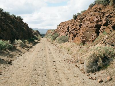
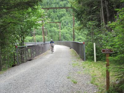
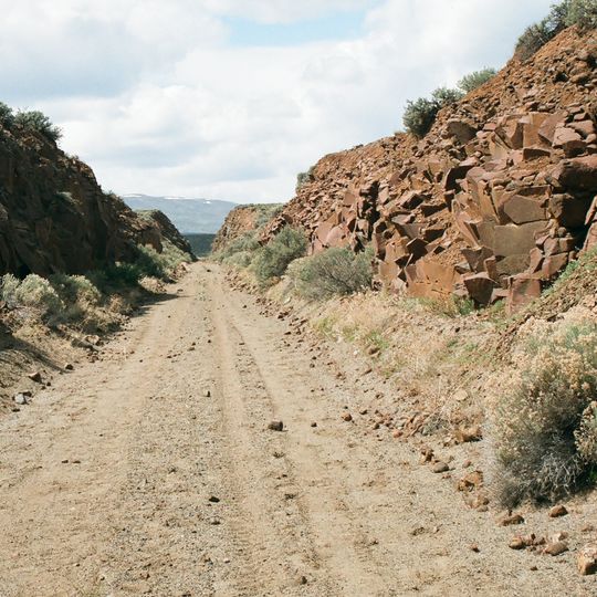
Iron Horse State Park, Rail trail in Cascade Mountains, Washington

Iron Horse State Park is a rail trail that spans 300 miles from the Cascade Mountains to the Idaho border. The route passes through changing landscapes with diverse geological formations and varying elevations throughout the journey.

The trail follows the former Chicago, Milwaukee, St. Paul & Pacific Railroad line that was abandoned in 1980. Following the closure, the railroad infrastructure was converted into a recreation trail open to the public.

The path takes its name from the John Wayne Pioneer Wagons and Riders Association, which organized annual horse and wagon journeys across the state. Today, hikers and cyclists use the route as a passage through remote mountain communities.

Several access points allow entry to different sections, and many have basic facilities at trailheads. For the Snoqualmie Tunnel passage, bring a powerful flashlight since the tunnel is quite dark.

The longest railroad tunnel in the world, the Snoqualmie Tunnel, is part of this trail and runs roughly 2 miles underground. Walking through it gives visitors a sense of how the old railroad carved through the mountains.

The community of curious travelers

AroundUs brings together thousands of curated places, local tips, and hidden gems, enriched daily by 60,000 contributors worldwide.
Start exploring
Location
GPS coordinates
46.90500,-120.19450
Latest update
August 30, 2026 08:59
Around this place
The Gorge Amphitheatre
United States of America

The Gorge Amphitheatre

16.5 mi
Ginkgo Petrified Forest State Park
United States of America

Ginkgo Petrified Forest State Park

9.5 mi
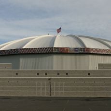
Yakima SunDome
United States of America

Yakima SunDome

25.9 mi
Grandfather Cuts Loose the Ponies
United States of America

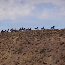
Grandfather Cuts Loose the Ponies

11.8 mi
Wanapum Dam
United States of America

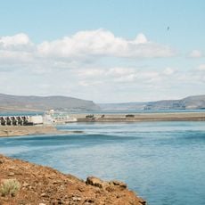
Wanapum Dam

10.8 mi
Priest Rapids Dam
United States of America

Priest Rapids Dam

22.6 mi
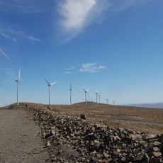
Wild Horse Wind and Solar Facility
United States of America

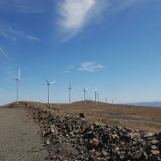
Wild Horse Wind and Solar Facility

8.1 mi
Whiskey Dick Mountain
United States of America

Whiskey Dick Mountain

8.5 mi
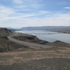
Vantage Bridge
United States of America

Vantage Bridge

11.1 mi
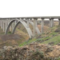
Fred G. Redmon Bridge
United States of America

Fred G. Redmon Bridge

18.4 mi
Olmstead Place State Park
United States of America

Olmstead Place State Park

13.9 mi
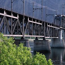
Beverly Railroad Bridge
United States of America

Beverly Railroad Bridge

12.7 mi
Priest Rapids
United States of America

Priest Rapids

14.8 mi
Yakima Electric Railway Museum
United States of America

Yakima Electric Railway Museum

26.1 mi
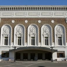
Capitol Theatre, Yakima
United States of America

Capitol Theatre, Yakima

25.5 mi
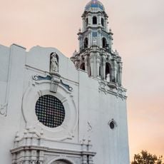
St. Paul Cathedral
United States of America

St. Paul Cathedral

26.5 mi
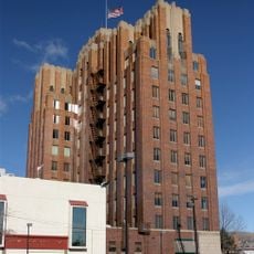
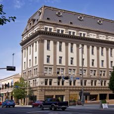
A. E. Larson Building
United States of America

A. E. Larson Building

25.6 mi
William O. Douglas Federal Building
United States of America

William O. Douglas Federal Building

25.5 mi
Umtanum Ridge Water Gap
United States of America

Umtanum Ridge Water Gap

17 mi
Wanapum Lake
United States of America

Wanapum Lake

16.3 mi
Central Washington State Fair
United States of America

Central Washington State Fair

25.8 mi
Masonic Temple
United States of America

Masonic Temple

25.4 mi
Canada

Sentinel Gap

14.1 mi
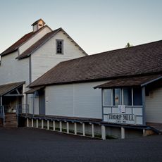
Thorp Mill
United States of America

Thorp Mill

25.9 mi
Powell House
United States of America

Powell House

25.3 mi
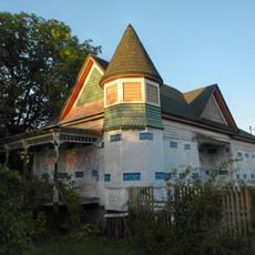
Reuben Sweet House
United States of America

Reuben Sweet House

26.5 mi
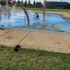
Water Playground
United States of America

Water Playground

25.5 mi
Naches River Railroad Bridge
United States of America

Naches River Railroad Bridge

24.6 mi
Show the full map
Reviews
Share your experience

No review yet

Discussions
Start a discussion...

No discussion yet

« Iron Horse State Park - Rail trail in Cascade Mountains, Washington » is provided by Around Us (aroundus.com). Images and texts are derived from Wikimedia project under a Creative Commons license. You are allowed to copy, distribute, and modify copies of this page, under the conditions set by the license, as long as this note is clearly visible.

Discover hidden gems everywhere you go!

From secret cafés to breathtaking viewpoints, skip the crowded tourist spots and find places that match your style. Our app makes it easy with voice search, smart filtering, route optimization, and insider tips from travelers worldwide. Download now for the complete mobile experience.
Around Us App Screenshot

A unique approach to discovering new places

Le Figaro

All the places worth exploring

France Info

A tailor-made excursion in just a few clicks

20 Minutes

Around Us
Travel Guide & Maps
Download

Send to your phone

QR Code
1

Open the camera app on your mobile.

2

Point at the QR code with your camera. A notification will appear.

3

Tap the notification to open the link.