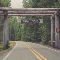
Norse Peak Wilderness, Protected wilderness area near Mount Rainier, Washington, US.
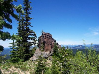
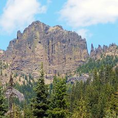
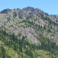
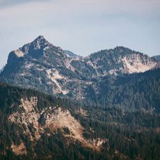
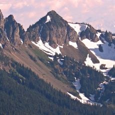
Norse Peak Wilderness is a protected mountain area in the Cascade Range with alpine lakes, granite ridges, coniferous forests, and meadows at varying elevations. The terrain changes significantly as you move through different zones of the wilderness.
The wilderness protection was established in 1984 under the Washington State Wilderness Act, incorporating the area into the national preservation system. This designation secured long-term protection for the land.
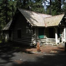
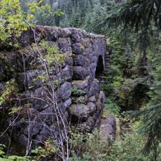
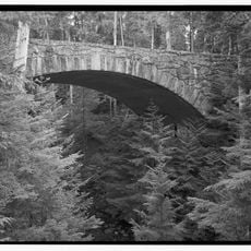
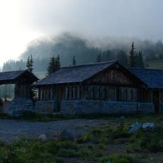
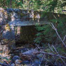
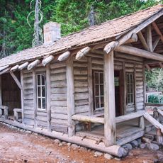
The southwest section shows traces of gold mining with old shafts, tailings, and abandoned cabins from early settlement times. These remains are scattered across the landscape and remind visitors of the region's industrial past.
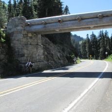
Multiple trailheads provide access to the wilderness, with the best visiting season from late spring through early fall when trails are snow-free. The elevation and rugged terrain require good physical preparation and proper gear.
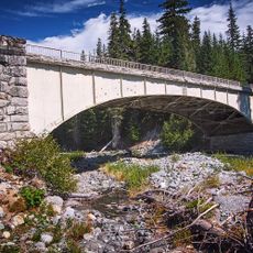
A major long-distance hiking route crosses through the area and connects various entry points while offering views of several volcanic peaks. This trail serves as a key connection for backpackers traveling long distances.
The community of curious travelers
AroundUs brings together thousands of curated places, local tips, and hidden gems, enriched daily by 60,000 contributors worldwide.