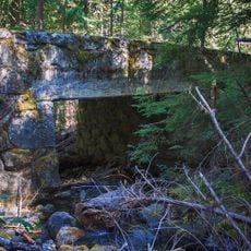
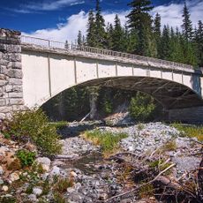
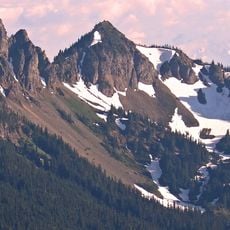
Fifes Peaks, Summit range in Yakima County, United States.
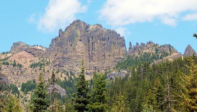
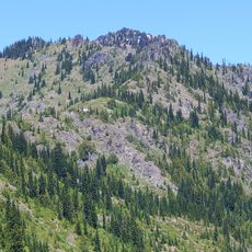
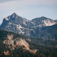
Fifes Peaks is a mountain range in Yakima County, Washington, composed of multiple summits and spires formed from an eroded volcanic cone. The highest points reach approximately 6,880 feet and showcase a rugged landscape shaped by volcanic processes.
The peaks were named after Thomas X. Fife, a placer miner who lived from 1853 to 1922 and worked near Chinook Pass. His mining activities in the region led to the geographic features being named in his honor.
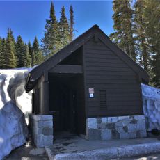
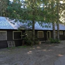
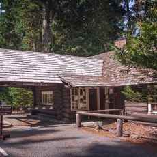
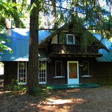
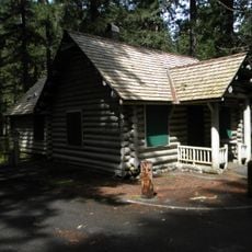
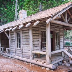
A Boy Scout camp near the area bears the name of Thomas Fife, who donated land to the organization. The place remains connected to scouting traditions and local heritage through this long-standing presence.
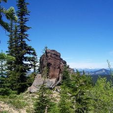
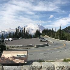
The summits are accessible through class 2 scrambling routes that require climbing skill but no ropes. Summer months offer the best conditions with clearer visibility and more stable weather.
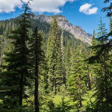
The peaks are remnants of an extinct caldera system shaped by volcanic activity between 20 to 30 million years ago in the Cascade Range. This geological history is visible in the spire formations, allowing visitors to observe evidence of ancient volcanic processes in the rock structures.
The community of curious travelers
AroundUs brings together thousands of curated places, local tips, and hidden gems, enriched daily by 60,000 contributors worldwide.