Naches Trail, Historic road in Mount Baker-Snoqualmie National Forest, United States.
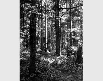
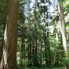
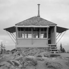
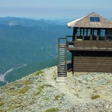
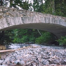
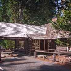
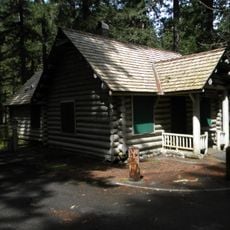
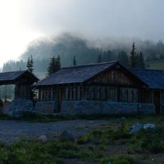
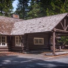
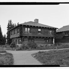
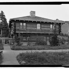
The Naches Trail is a historic route that extends from the Naches River across the Cascade Mountains to the Greenwater River in Pierce County. Along the way, it crosses five Forest Roads and reaches Government Meadow, where visitors can find accommodation at an old cabin.
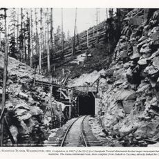
In 1853, the Longmire Party made the first wagon crossing through Naches Pass by using ropes to lower their vehicles down steep cliffs. This crossing opened a new passage for settlement and travel west of the Cascades.
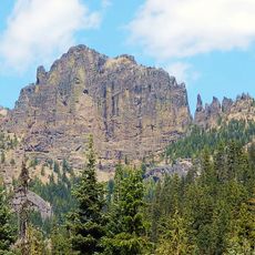
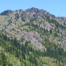
The path served as an important travel route for Yakama and Salish peoples who used it to move through the mountains for generations. Later, settlers relied on it as a crucial way to cross the Cascade Mountains region.
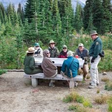
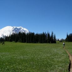
The trail welcomes hikers, mountain bikers, and off-road vehicles, though some sections are set aside only for walkers. Knowing which segments are shared helps you plan and prepare before heading out.
The path remains popular with travelers who want to follow the same mountain crossing that the Longmire Party pioneered. Hikers still discover traces of that 19th-century journey along the way.
The community of curious travelers
AroundUs brings together thousands of curated places, local tips, and hidden gems, enriched daily by 60,000 contributors worldwide.