Enable Location

We need your location to show you interesting places around you

Discover nearby places

Find interesting locations and hidden gems around you

Precise directions

Get accurate directions and distances to places

Your location is never shared with other users. It's only used when you tap the location button.

Bumping Lake

Log in to your account

Start exploring — it's free

Trusted by 62,357 travelers worldwide

Continue with Google
Continue with Apple
or

We will send you a code to connect

By continuing, you accept our Terms and Conditions and our Privacy Policy

Check your inbox

We've sent a pincode in your inbox. Please enter the code below.

Bumping Lake

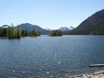
Bumping Lake, Washington state, United States

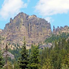
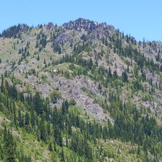
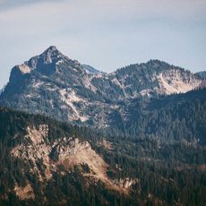
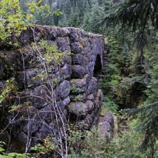
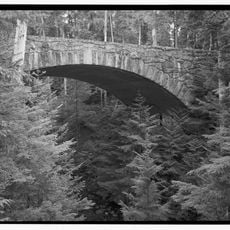
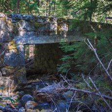
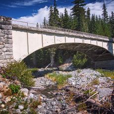
Bumping Lake is a mountain reservoir in the Cascade Range surrounded by dense forest and rocky slopes. The water is held back by an earthen dam built in 1910 that stands about 60 feet (18 meters) high and was partially upgraded in the 1990s.

Early maps called this body of water Lake Plehnam in the 1850s, later known as Tannum Lake by 1897. The dam was built in 1910 to create a reservoir for storing water during rainy seasons and supplying it to farmland below.

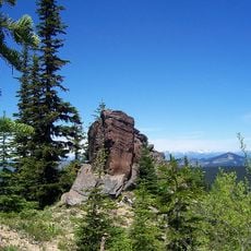
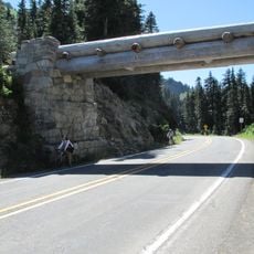
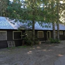
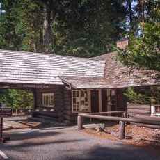
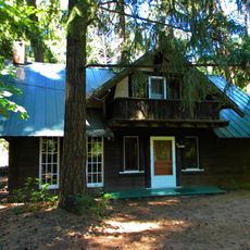
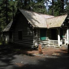
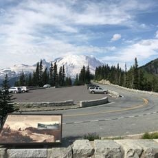
Access is via Forest Road 70, which winds through forested land and is open in summer but can be blocked by snow in winter. The lake offers simple camping spots and fishing areas, but there are no shops or rental services nearby, so visitors should bring all needed supplies.

The lake serves as part of the Yakima Project, providing irrigation water to fruit farms in the lower Yakima Valley during the growing season. With storage capacity exceeding 33,000 acre-feet, it plays a key role in sustaining regional agriculture.

The community of curious travelers

AroundUs brings together thousands of curated places, local tips, and hidden gems, enriched daily by 60,000 contributors worldwide.

Start exploring
Location
Elevation above the sea
1,044 m
GPS coordinates
46.85130,-121.31900
Latest update
February 9, 2026 08:23
Around this place
William O. Douglas Wilderness
United States of America

William O. Douglas Wilderness

5.1 km
Norse Peak Wilderness
United States of America

Norse Peak Wilderness

15.5 km
Silver Falls
United States of America

Silver Falls

21.4 km
Tipsoo Lake Comfort Station
United States of America

Tipsoo Lake Comfort Station

15.4 km
Chinook Pass Entrance Arch
United States of America

Chinook Pass Entrance Arch

15.1 km
White River Mess Hall and Dormitory
United States of America

White River Mess Hall and Dormitory

18.8 km
Shriner Peak Fire Lookout
United States of America

Shriner Peak Fire Lookout

16.6 km
White River Entrance
United States of America

White River Entrance

18.8 km
Fifes Peaks
United States of America

Fifes Peaks

13.6 km
Chinook Peak
United States of America

Chinook Peak

15.4 km
Three Lakes Patrol Cabin
United States of America

Three Lakes Patrol Cabin

15.3 km
Dewey Peak
United States of America

Dewey Peak

12.7 km
Edgar Rock Lodge
United States of America

Edgar Rock Lodge

21.8 km
Silver Creek Ranger Station
United States of America

Silver Creek Ranger Station

22.5 km
Deer Creek Bridge
United States of America

Deer Creek Bridge

15.4 km
Klickitat Creek Bridge
United States of America

Klickitat Creek Bridge

18.4 km
Dry Creek Bridge
United States of America

Dry Creek Bridge

18.1 km
Fryingpan Creek Bridge
United States of America

Fryingpan Creek Bridge

22.5 km
Ohanapecosh Comfort Station No. O-302
United States of America

Ohanapecosh Comfort Station No. O-302

22.6 km
Sunrise Point
United States of America

Sunrise Point

21.7 km
White River Entrance Ranger Station
United States of America

White River Entrance Ranger Station

18.8 km
Ohanapecosh Campground
United States of America

Ohanapecosh Campground

22.8 km
Ohanapecosh Visitor Center
United States of America

Ohanapecosh Visitor Center

22.8 km
Northeast Entrance Arch
United States of America

Northeast Entrance Arch

21.7 km
Ohanapecosh Campground Amphitheater
United States of America

Ohanapecosh Campground Amphitheater

22.7 km
Barrier Peak
United States of America

Barrier Peak

19.7 km
Deadwood Creek Bridge
United States of America

Deadwood Creek Bridge

17.9 km
Deadwood Creek Bridge
United States of America

Deadwood Creek Bridge

17.9 km
Show the full map
« Bumping Lake - Washington state, United States » is provided by Around Us (aroundus.com). Images and texts are derived from Wikimedia project under a Creative Commons license. You are allowed to copy, distribute, and modify copies of this page, under the conditions set by the license, as long as this note is clearly visible.

Discover hidden gems everywhere you go!

From secret cafés to breathtaking viewpoints, skip the crowded tourist spots and find places that match your style. Our app makes it easy with voice search, smart filtering, route optimization, and insider tips from travelers worldwide. Download now for the complete mobile experience.

Around Us App Screenshot

A unique approach to discovering new places

Le Figaro

All the places worth exploring

France Info

A tailor-made excursion in just a few clicks

20 Minutes

Around Us
Travel Guide & Maps
Download

Send to your phone

QR Code
1

Open the camera app on your mobile.

2

Point at the QR code with your camera. A notification will appear.

3

Tap the notification to open the link.