
Cougar Mountain, mountain
Location: Grays Harbor County
Location: Washington
Elevation above the sea: 504 m
GPS coordinates: 47.30694,-123.75028
Latest update: August 5, 2025 14:06
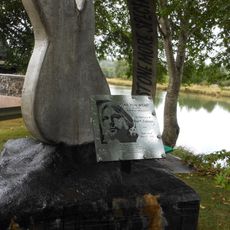
Kurt Cobain Memorial Park
36.2 km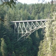
High Steel Bridge
36.1 km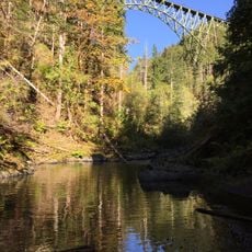
Vance Creek Bridge
32.5 km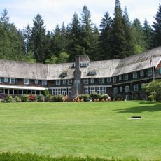
Lake Quinault Lodge
19.3 km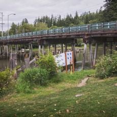
Young Street Bridge
36.1 km
Lake Sylvia State Park
36.2 km
Schafer State Park
31.9 km
Pacific Beach State Park
36 km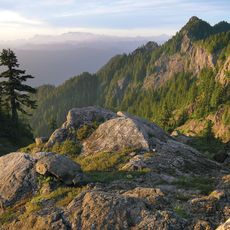
Colonel Bob Wilderness
20.4 km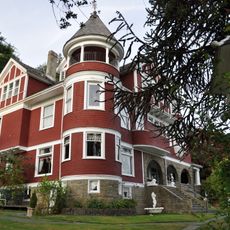
Hoquiam's Castle
37.4 km
7th Street Theatre
38 km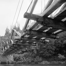
Chow Chow Bridge
33.8 km
Satsop Hills
23.7 km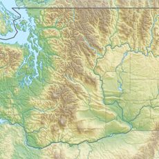
Colonel Bob
20.2 km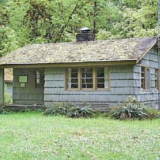
Graves Creek Ranger Station
32.1 km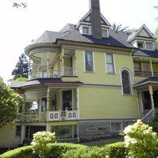
Joseph Lytle House
37.5 km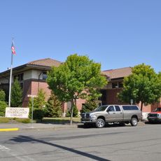
Carnegie Library
38.1 km
Sierra
37.1 km
Masonic Temple-Hoquiam
38.1 km
Wishkah River Bridge
37 km
Riverside Avenue Bridge
37.8 km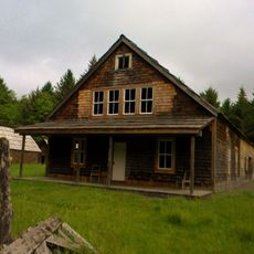
Kestner Homestead
23.2 km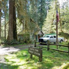
North Fork Quinault Ranger Station
30.7 km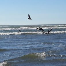
Moclips Ocean Beach Access
36.2 km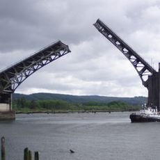
Chehalis River Bridge
37.5 km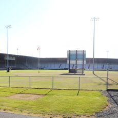
Olympic Stadium
37.5 km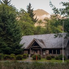
Quinault Rain Forest Ranger Station
22.7 km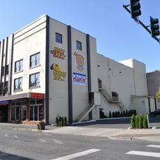
D & R Theatre
37.3 kmReviews
Visited this place? Tap the stars to rate it and share your experience / photos with the community! Try now! You can cancel it anytime.
Discover hidden gems everywhere you go!
From secret cafés to breathtaking viewpoints, skip the crowded tourist spots and find places that match your style. Our app makes it easy with voice search, smart filtering, route optimization, and insider tips from travelers worldwide. Download now for the complete mobile experience.

A unique approach to discovering new places❞
— Le Figaro
All the places worth exploring❞
— France Info
A tailor-made excursion in just a few clicks❞
— 20 Minutes