Grays Harbor County

Log in to your account

AroundUs is a community-driven map of interesting places, built by curious explorers like you. It grows with every review, story, and photo you share.
Connect to save your favorite spots, contribute locations, and create personalized routes.
Continue with Google
Continue with Apple
Continue with X
Continue with Facebook
Continue with email
By continuing, you accept our Terms and Conditions and our Privacy Policy
Create an account
Add to collection
Map
Suggest a change
Share

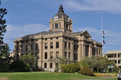
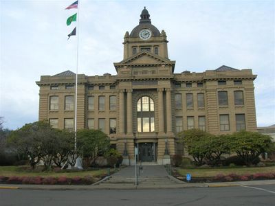
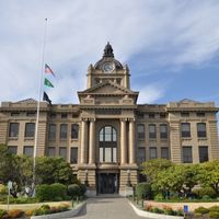
Grays Harbor County, Administrative county and seat in Washington, United States.

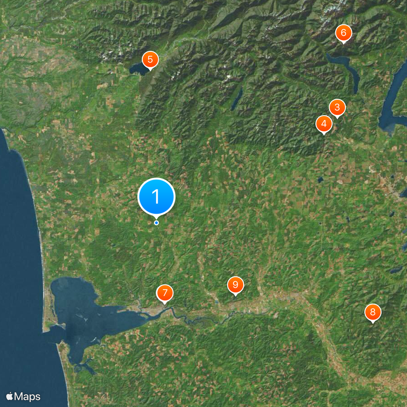
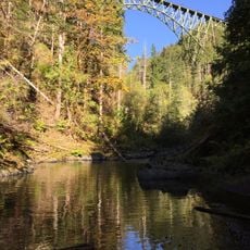
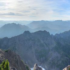
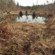
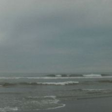
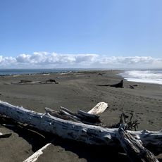
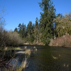
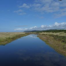
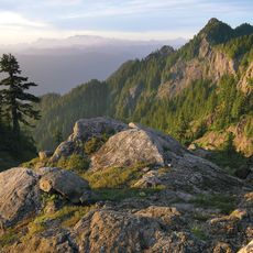
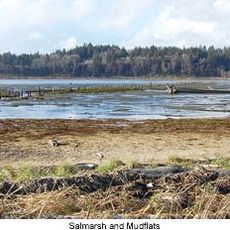
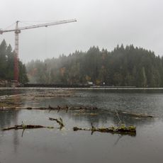
Grays Harbor County is an administrative region in Washington covering roughly 2,200 square miles with rainforests, coastal areas, and parts of the Olympic Peninsula. Several rivers flow through the county, creating a landscape of forested hills and flat coastal plains.

The region was first established in 1854 as Chehalis County and renamed in 1915 after the bay discovered by fur trader Robert Gray in 1792. This name change reflected a shift in how people identified the area.

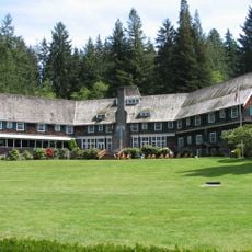
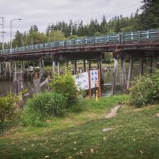
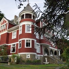
The county has deep ties to fishing and timber industries that shape how communities developed and what visitors see today. Native American peoples have lived here for centuries, and their presence remains woven into the landscape and local life.

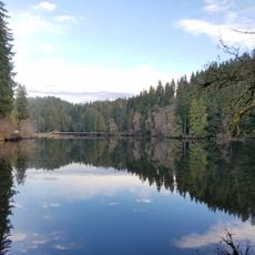
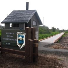
The county is accessible via US Route 101 and several state highways, with many camping spots and lakes for outdoor activities. The best time to visit is during warmer months when roads are clear and outdoor activities are most enjoyable.

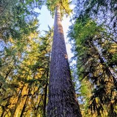
The area contains one of only two temperate rainforests in the Northern Hemisphere, a rare ecosystem where trees can grow to impressive ages. This forest type is found almost nowhere else in the northern world.

Location: Washington

Inception: April 14, 1854

Capital city: Montesano

Shares border with: Jefferson County, Pacific County, Mason County, Thurston County, Lewis County

Website: http://co.grays-harbor.wa.us

GPS coordinates: 47.15000,-123.83000

Latest update: December 14, 2025 19:46

Photos
Around this place
Kurt Cobain Memorial Park
United States of America

Kurt Cobain Memorial Park

18.6 km
High Steel Bridge
United States of America

High Steel Bridge

48.1 km
Vance Creek Bridge
United States of America

Vance Creek Bridge

43.6 km
Lake Quinault Lodge
United States of America

Lake Quinault Lodge

35.3 km
Mount Ellinor
United States of America

Mount Ellinor

59.6 km
Young Street Bridge
United States of America

Young Street Bridge

18.5 km
Capitol State Forest
United States of America

Capitol State Forest

55 km
Lake Sylvia State Park
United States of America

Lake Sylvia State Park

24.7 km
Mount Washington
United States of America

Mount Washington

61.2 km
Twin Harbors State Park
United States of America

Twin Harbors State Park

38.8 km
Cushman Dam
United States of America

Cushman Dam

55 km
Grays Harbor Light
United States of America

Grays Harbor Light

36.4 km
Damon Point State Park
United States of America

Damon Point State Park

31.5 km
Schafer State Park
United States of America

Schafer State Park

28.3 km
United States of America

Ocean City State Park

28.5 km
Pacific Beach State Park
United States of America

Pacific Beach State Park

28.9 km
Colonel Bob Wilderness
United States of America

Colonel Bob Wilderness

38.5 km
Westport Light State Park
United States of America

Westport Light State Park

36.3 km
Grays Harbor National Wildlife Refuge
United States of America

Grays Harbor National Wildlife Refuge

21 km
Bottle Beach State Park
United States of America

Bottle Beach State Park

33.1 km
Northwest Cannabis Solutions Satsop facility
United States of America

Northwest Cannabis Solutions Satsop facility

34.2 km
Lower Cushman Dam
United States of America

Lower Cushman Dam

54.9 km
Hoquiam's Castle
United States of America

Hoquiam's Castle

18.9 km
United States of America

Ink Blot Natural Area Preserve

47.1 km
7th Street Theatre
United States of America

7th Street Theatre

19.6 km
United States of America

Wonder Mountain Wilderness

50.3 km
United States of America

Westhaven State Park

35.6 km
United States of America

Quinault Rainforest

39.5 km
Show the full map
Reviews

Visited this place? Tap the stars to rate it and share your experience / photos with the community! Try now! You can cancel it anytime.

Administrative divisions
« Grays Harbor County - Administrative county and seat in Washington, United States » is provided by Around Us (aroundus.com). Images and texts are derived from Wikimedia project under a Creative Commons license. You are allowed to copy, distribute, and modify copies of this page, under the conditions set by the license, as long as this note is clearly visible.

Discover hidden gems everywhere you go!

From secret cafés to breathtaking viewpoints, skip the crowded tourist spots and find places that match your style. Our app makes it easy with voice search, smart filtering, route optimization, and insider tips from travelers worldwide. Download now for the complete mobile experience.

Around Us App Screenshot

A unique approach to discovering new places

Le Figaro

All the places worth exploring

France Info

A tailor-made excursion in just a few clicks

20 Minutes