
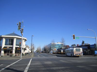
South Surrey, district of Surrey, British Columbia, Canada
Location: Surrey
Shares border with: Cloverdale, Newton Town Centre
GPS coordinates: 49.04550,-122.77920
Latest update: March 6, 2025 16:16
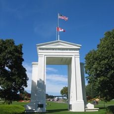
Peace Arch
5.1 km
Peace Arch Park
5.1 km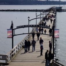
White Rock Pier
3.5 km
Campbell Valley Regional Park
9.2 km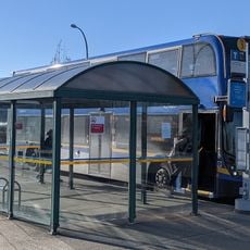
South Surrey Park and Ride
4.4 km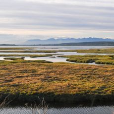
Boundary Bay Wildlife Conservation Area
12.7 km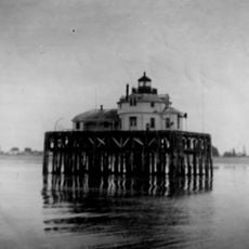
Semiahmoo Harbor Light
5.9 km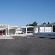
Langley Education Centre
12.8 km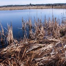
Serpentine Wildlife Management Area
5.4 km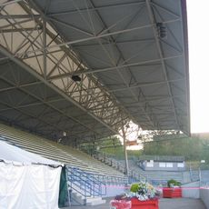
Stetson Bowl
8.6 km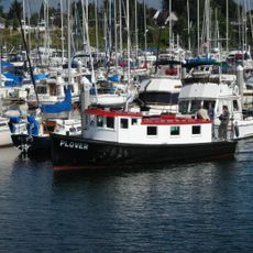
MV Plover
5.9 km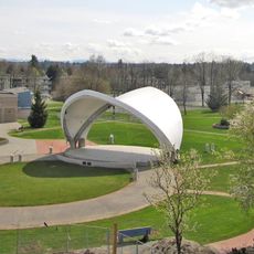
Douglas Park (Langley)
11.1 km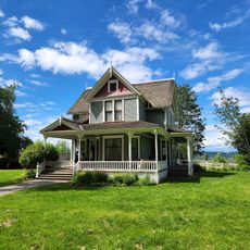
Historic Stewart Farm
5.1 km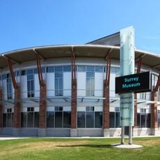
Museum of Surrey
7.4 km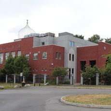
Gurdwara Sahib Brookside
12.8 km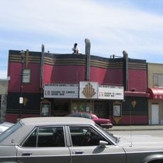
Clova Theatre
7.5 km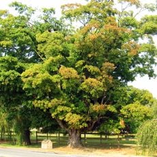
Blair sugar maple tree
12.9 km
Gurdwara Sri Guru Singh Sabha
13 km
White Rock Beach
3.4 km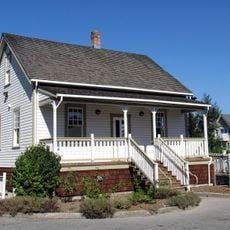
Matheson House
11.4 km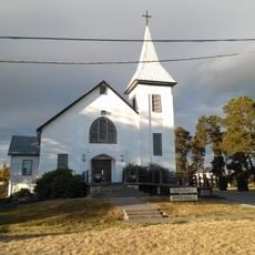
Cloverdale United Church
7.7 km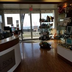
White Rock Museum and Archives
3.4 km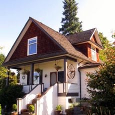
PY Porter House
12.5 km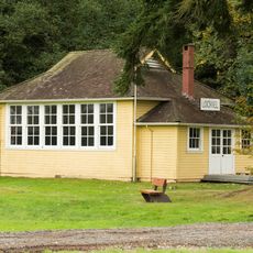
Lochiel School
9.5 km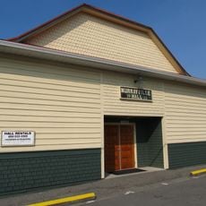
Murrayville Community Hall
12.4 km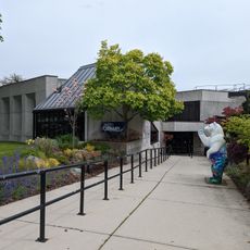
White Rock Library
2.7 km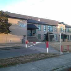
Cloverdale Elementary School
7.6 km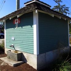
Murrayville Pumphouse
12.3 kmVisited this place? Tap the stars to rate it and share your experience / photos with the community! Try now! You can cancel it anytime.
Discover hidden gems everywhere you go!
From secret cafés to breathtaking viewpoints, skip the crowded tourist spots and find places that match your style. Our app makes it easy with voice search, smart filtering, route optimization, and insider tips from travelers worldwide. Download now for the complete mobile experience.

A unique approach to discovering new places❞
— Le Figaro
All the places worth exploring❞
— France Info
A tailor-made excursion in just a few clicks❞
— 20 Minutes