
Cedar Butte, mountain in King County, Washington state, United States of America
Location: King County
Location: Washington
Elevation above the sea: 573.5 m
GPS coordinates: 47.43394,-121.74166
Latest update: June 8, 2025 13:06
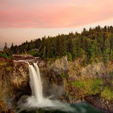
Snoqualmie Falls
14 km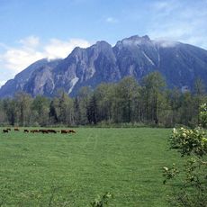
Mount Si
8.1 km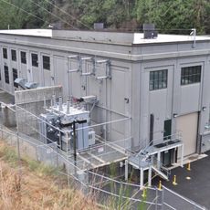
Snoqualmie Falls Hydroelectric Plant
14.4 km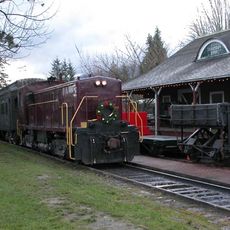
Northwest Railway Museum
12.3 km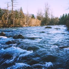
Kanaskat-Palmer State Park
17.8 km
Selleck, Washington
11.4 km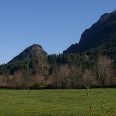
Little Si
7.3 km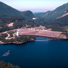
Howard A. Hanson Dam
17.7 km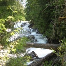
Olallie State Park
6.7 km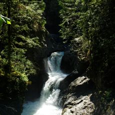
Twin Falls
3.7 km
Bandera Mountain
15.4 km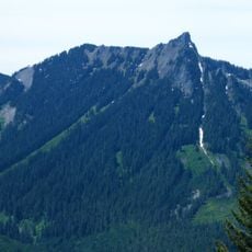
McClellan Butte
9.5 km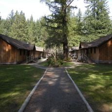
Camp North Bend
4 km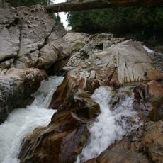
Weeks Falls
7.3 km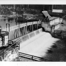
Seattle Municipal Light and Power Plant
3.4 km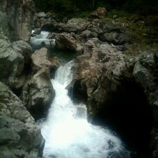
Fantastic Falls
11.7 km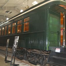
Messenger of Peace Chapel Car
10.5 km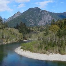
The Pulpit
17.3 km
North Bend Ranger Station
6.6 km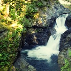
Middle Twin Falls
3.7 km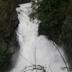
Upper Twin Falls
3.6 km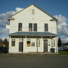
Fall City Masonic Hall
18.5 km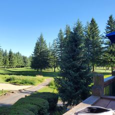
Mount Si Golf Course
10.1 km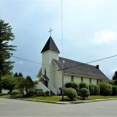
Our Lady of Sorrows (Snoqualmie)
11.7 km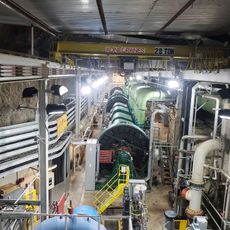
Snoqualmie Falls Hydroelectric Museum
13.7 km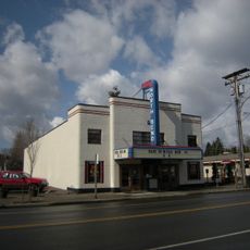
North Bend Theatre
7.7 km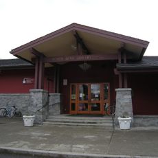
North Bend Library
7.7 km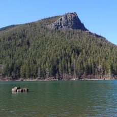
Rattlesnake Ledge
2.8 kmReviews
Visited this place? Tap the stars to rate it and share your experience / photos with the community! Try now! You can cancel it anytime.
Discover hidden gems everywhere you go!
From secret cafés to breathtaking viewpoints, skip the crowded tourist spots and find places that match your style. Our app makes it easy with voice search, smart filtering, route optimization, and insider tips from travelers worldwide. Download now for the complete mobile experience.

A unique approach to discovering new places❞
— Le Figaro
All the places worth exploring❞
— France Info
A tailor-made excursion in just a few clicks❞
— 20 Minutes