
Kings County, County in San Joaquin Valley, California.
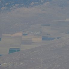
Kings County spans 3,604 square kilometers in central California, with four incorporated cities: Hanford, Corcoran, Avenal, and Lemoore.
The county, established in 1893 from the western section of Tulare County, derives its name from Kings River, named during an 1805 Spanish expedition.
The Tachi Yokuts Native American tribe maintains their presence in the region, contributing to the diverse cultural composition of Kings County.
The Kings Area Regional Transit system connects the major population centers, while Interstate 5 provides access to neighboring regions of California.
Three state correctional facilities operate within Kings County, making it the California county with the highest incarceration rate per capita.
Location: California
Inception: 1893
Capital city: Hanford
Shares border with: Monterey County, Tulare County, Kern County, San Luis Obispo County, Fresno County
Website: https://countyofkings.com
GPS coordinates: 36.07000,-119.81000
Latest update: May 26, 2025 20:50

Avenal State Prison
29.8 km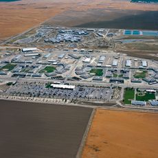
Pleasant Valley State Prison
40.1 km
North Kern State Prison
55.3 km
California Substance Abuse Treatment Facility and State Prison, Corcoran
23.6 km
Chukchansi Park
73.7 km
Colonel Allensworth State Historic Park
42.8 km
Kern National Wildlife Refuge
40 km
Fresno Convention Center
73.9 km
Kettleman Hills Hazardous Waste Facility
21.6 km
Pixley National Wildlife Refuge
43.8 km
Visalia Fox Theatre
54.6 km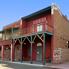
Taoist Temple
32.6 km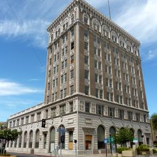
Bank of Italy
74.3 km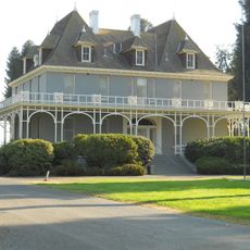
Kearney Park
73.7 km
Azteca Theater
73.4 km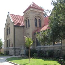
Hanford Carnegie Museum
32.3 km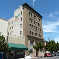
Bank of Italy
55.1 km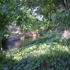
Mill Creek
46.1 km
San Joaquin Light and Power Corporation Building
74.3 km
M. Young Botanic Garden
76.1 km
Visalia Branch Library
54.8 km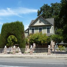
Hyde House
54.6 km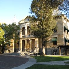
Kings County Courthouse
32.3 km
Parkfield Interventional EQ Fieldwork
59.3 km
The Pioneer
50.5 km
Visalia Buddhist Church
55.3 km
Children’s Storybook Garden & Museum
32.5 km
Golden State County Plaza
74.1 kmReviews
Visited this place? Tap the stars to rate it and share your experience / photos with the community! Try now! You can cancel it anytime.


Discover hidden gems everywhere you go!
From secret cafés to breathtaking viewpoints, skip the crowded tourist spots and find places that match your style. Our app makes it easy with voice search, smart filtering, route optimization, and insider tips from travelers worldwide. Download now for the complete mobile experience.

A unique approach to discovering new places❞
— Le Figaro
All the places worth exploring❞
— France Info
A tailor-made excursion in just a few clicks❞
— 20 Minutes