Chest opened
+${chestReward.xp} XP
Explorer
NOUVEAU ×${chestReward.collectible.quantity}
tapez pour fermer

See the monuments around you in AR Open chests in the app

Around Us is built for your phone — point your camera at the streets and discover the monuments and places around you in augmented reality. Around Us is built for your phone — chests unlock when you walk, explore and capture nearby places.

Enable Location

We need your location to show you interesting places around you

Discover nearby places

Find interesting locations and hidden gems around you

Precise directions

Get accurate directions and distances to places

Your location is never shared with other users. It's only used when you tap the location button.

Mill Creek

Log in to your account

Start exploring — it's free

Trusted by 85,923 travelers worldwide

Continue with Google
Continue with Apple
or

We will send you a code to connect

By continuing, you accept our Terms and Conditions and our Privacy Policy

Check your inbox

We've sent a pincode in your inbox. Please enter the code below.

Mill Creek
Discussion Reviews 1 Photos
1.3k Popularity

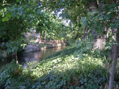
Mill Creek, Brook in Downtown Visalia, US

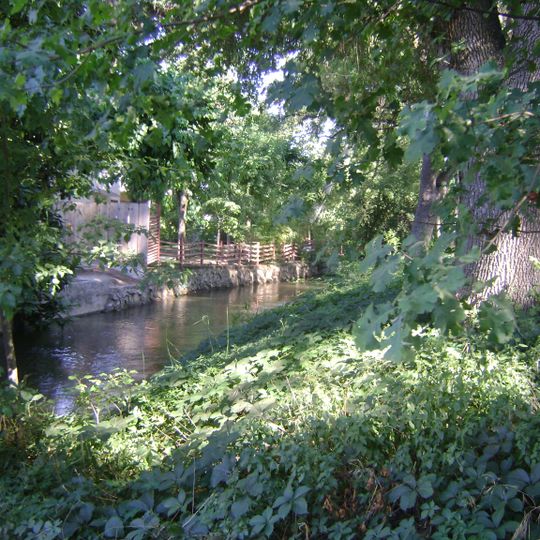
Mill Creek is a waterway running through Downtown Visalia as one of four main channels directing water from the Kaweah River into the city. Much of the creek flows underground, hidden beneath roads and buildings in concrete-lined sections.

The creek took its name from a grain mill operator and underwent major changes around 1910 when sections were lined with cement and roofed over. These modifications were part of early flood control efforts in the developing city.

The creek serves as a central geographical element in Visalia's development, with current plans focusing on creating additional green spaces along its banks.

While exploring Downtown Visalia, visitors can trace the course of this waterway as it winds through the urban landscape, though much remains hidden from view. Be aware that large sections run beneath modern streets and are not easily accessible from ground level.

Despite early cement lining and covering, the creek repeatedly overflowed its banks during heavy rains, revealing the persistent power of natural waterflow. These recurring floods prompted further adjustments to the city's water management approach.

The community of curious travelers

AroundUs brings together thousands of curated places, local tips, and hidden gems, enriched daily by 60,000 contributors worldwide.
Start exploring
Location
GPS coordinates
36.32007,-119.40152
Latest update
September 12, 2026 02:31
Around this place
Colonel Allensworth State Historic Park
United States of America

Colonel Allensworth State Historic Park

30.9 mi
Lake Kaweah
United States of America

Lake Kaweah

23.3 mi
Zalud House
United States of America

Zalud House

27.5 mi
Pine Flat Dam
United States of America

Pine Flat Dam

35.6 mi
Lake Success
United States of America

Lake Success

32.3 mi
Fresno Convention Center
United States of America

Fresno Convention Center

35.6 mi
Terminus Dam
United States of America

Terminus Dam

23.1 mi
Pixley National Wildlife Refuge
United States of America

Pixley National Wildlife Refuge

28 mi
Blue Ridge National Wildlife Refuge
United States of America

Blue Ridge National Wildlife Refuge

31.1 mi
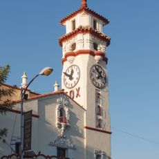
Visalia Fox Theatre
United States of America

Visalia Fox Theatre

6 mi
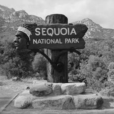
Ash Mountain Entrance Sign
United States of America

Ash Mountain Entrance Sign

33.5 mi
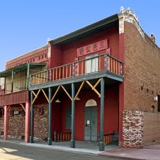
Taoist Temple
United States of America

Taoist Temple

13.2 mi
Hanford Carnegie Museum
United States of America

Hanford Carnegie Museum

13.5 mi
Bank of Italy
United States of America

Bank of Italy

6.4 mi
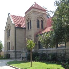
Visalia Branch Library
United States of America

Visalia Branch Library

6.1 mi
Exeter Library
United States of America

Exeter Library

14.8 mi
Hyde House
United States of America

Hyde House

6.2 mi
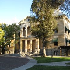
Kings County Courthouse
United States of America

Kings County Courthouse

13.6 mi
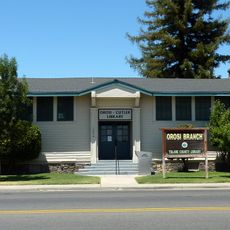
Orosi Branch Library
United States of America

Orosi Branch Library

16.7 mi
The Pioneer
United States of America

The Pioneer

5.7 mi
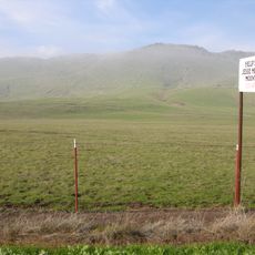
Jesse Morrow Mountain
United States of America

Jesse Morrow Mountain

28.8 mi
Visalia Buddhist Church
United States of America

Visalia Buddhist Church

6.4 mi
Pumpkin Hollow Bridge
United States of America

Pumpkin Hollow Bridge

33.2 mi
East Fork Kaweah River Bridge
United States of America

East Fork Kaweah River Bridge

35 mi
Mineral King Road Cultural Landscape District
United States of America

Mineral King Road Cultural Landscape District

35 mi
Children’s Storybook Garden & Museum
United States of America

Children’s Storybook Garden & Museum

13.6 mi
Foothills Visitor Center
United States of America

Foothills Visitor Center

34.2 mi
Indian Head River Trailhead
United States of America

Indian Head River Trailhead

33.5 mi
Show the full map
Reviews
Share your experience

No review yet

Discussions
Start a discussion...

No discussion yet

« Mill Creek - Brook in Downtown Visalia, US » is provided by Around Us (aroundus.com). Images and texts are derived from Wikimedia project under a Creative Commons license. You are allowed to copy, distribute, and modify copies of this page, under the conditions set by the license, as long as this note is clearly visible.

Discover hidden gems everywhere you go!

From secret cafés to breathtaking viewpoints, skip the crowded tourist spots and find places that match your style. Our app makes it easy with voice search, smart filtering, route optimization, and insider tips from travelers worldwide. Download now for the complete mobile experience.
Around Us App Screenshot

A unique approach to discovering new places

Le Figaro

All the places worth exploring

France Info

A tailor-made excursion in just a few clicks

20 Minutes

Around Us
Travel Guide & Maps
Download

Send to your phone

QR Code
1

Open the camera app on your mobile.

2

Point at the QR code with your camera. A notification will appear.

3

Tap the notification to open the link.