Enable Location

We need your location to show you interesting places around you

Discover nearby places

Find interesting locations and hidden gems around you

Precise directions

Get accurate directions and distances to places

Your location is never shared with other users. It's only used when you tap the location button.

Log in to your account

Start exploring — it's free

Trusted by travelers worldwide

Continue with Google
Continue with Apple
or

We will send you a code to connect

By continuing, you accept our Terms and Conditions and our Privacy Policy

Check your inbox

We've sent a pincode in your inbox. Please enter the code below.

Aguereberry Point

Aguereberry Point, Mountain viewpoint in Death Valley National Park, California, US.

Description

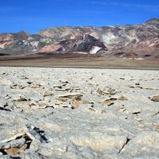
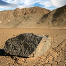
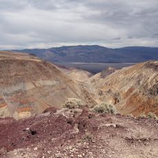
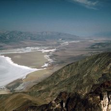
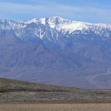
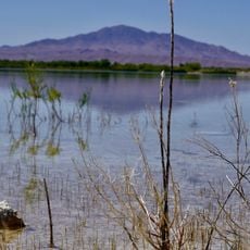
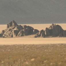
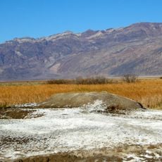
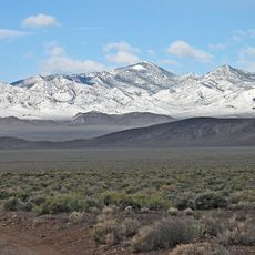
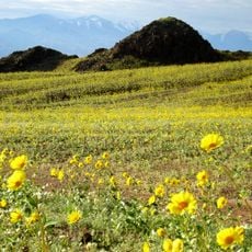
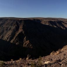
Aguereberry Point is a mountain summit in Death Valley National Park that rises to approximately 6,433 feet and provides expansive views across the valley floor, Badwater Basin, and surrounding mountain ranges. The location offers sightlines that extend across multiple ridges and peaks that frame the desert landscape.

History

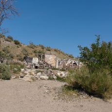
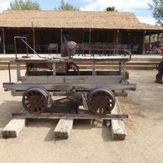
Jean Pierre Aguereberry, a French Basque miner, discovered the Eureka Mine in 1905 and subsequently constructed a road to reach this elevated location. His mining activities shaped the area's early exploration and development.

Culture

The location represents the connection between Death Valley's mining heritage and natural landscape, marked by the National Park Service with educational displays.

Practical

The access route involves a 10-kilometer unpaved road with steep grades that requires a high-clearance vehicle to navigate safely. Allow extra time for the slow drive and check road conditions before your visit.

Did you know?

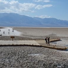
From this vantage point, photographers can capture the vast Badwater salt flats far below while simultaneously viewing distant mountain peaks along the horizon in a single frame. This combination of extreme vertical range and horizontal sweep creates a visual contrast uncommon elsewhere in the region.

Location
GPS coordinates
36.35773,-117.04811
Latest update
December 14, 2025 13:07

AroundUs brings together thousands of curated places, local tips, and hidden gems, enriched daily by 60,000 contributors worldwide. Discover all places nearby (Inyo County).

Around this place
Show the full map
« Aguereberry Point - Mountain viewpoint in Death Valley National Park, California, US » is provided by Around Us (aroundus.com). Images and texts are derived from Wikimedia project under a Creative Commons license. You are allowed to copy, distribute, and modify copies of this page, under the conditions set by the license, as long as this note is clearly visible.

Discover hidden gems everywhere you go!

From secret cafés to breathtaking viewpoints, skip the crowded tourist spots and find places that match your style. Our app makes it easy with voice search, smart filtering, route optimization, and insider tips from travelers worldwide. Download now for the complete mobile experience.

Around Us App Screenshot

A unique approach to discovering new places

Le Figaro

All the places worth exploring

France Info

A tailor-made excursion in just a few clicks

20 Minutes

Around Us
Travel Guide & Maps
Download

Send to your phone

QR Code
1

Open the camera app on your mobile.

2

Point at the QR code with your camera. A notification will appear.

3

Tap the notification to open the link.