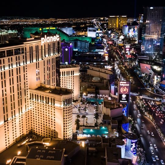
Las Vegas Boulevard, Main arterial road in Clark County, United States
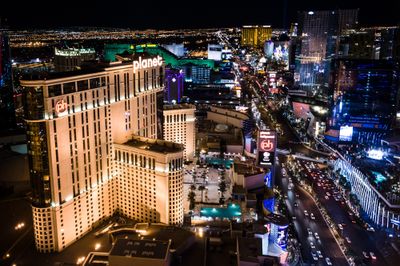
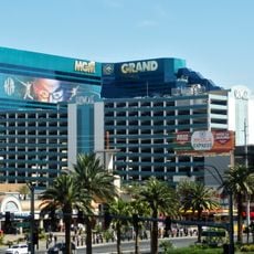
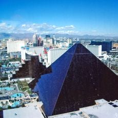
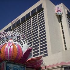
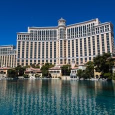
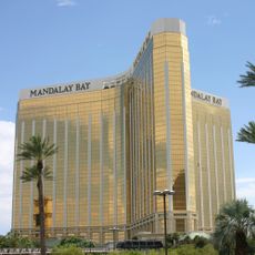
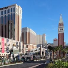
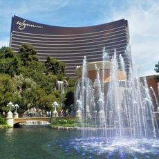
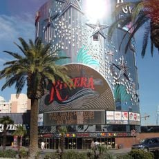
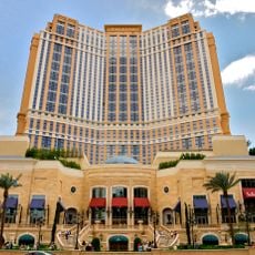
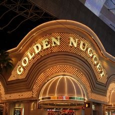
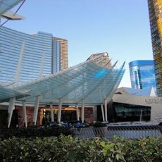
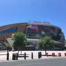
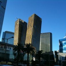
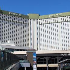
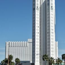
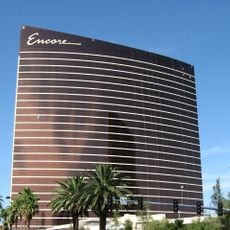
Las Vegas Boulevard runs the length of the Las Vegas Valley in Clark County, Nevada, from an industrial zone near Apex south past Jean in the Mojave Desert, with a separate stretch at Primm. Its best-known section, the Strip, runs about 4 miles (6.4 km) from near The Strat through Winchester and Paradise to Russell Road, lined with casino resorts, video signs and pedestrian bridges over the asphalt.
The road began as part of U.S. Route 91, linking Los Angeles with Salt Lake City and serving as the primary north-south connection through the mid-20th century. After Interstate 15 was built, regional traffic shifted away, and the former highway evolved into a local main axis for the growing city.
The road's many former names include 5th Street, Arrowhead Highway, Los Angeles Highway, Salt Lake Highway, US 91, US 93 north of Fremont Street, US 466 and Nevada State Route 6. Longtime residents call it "The Boulevard", and the north/south address boundary sits at its Fremont Street intersection. South of The Strat it also marks the valley's east/west address line.
The road crosses several major highways including Interstate 15 and U.S. Route 93, creating connections to regional destinations and Nellis Air Force Base. Visitors can use pedestrian crossings and wide sidewalks along the entire route, especially in more densely built sections with hotels and casinos.
The road's north-south address dividing line is its intersection with Fremont Street, and south of The Strat it marks the valley's east-west address boundary. Residents and media say "Las Vegas Boulevard North" and "Las Vegas Boulevard South" rather than putting the direction first.
The community of curious travelers
AroundUs brings together thousands of curated places, local tips, and hidden gems, enriched daily by 93,380 contributors worldwide.