
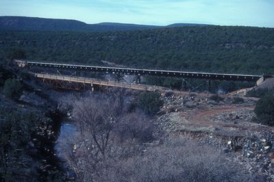
Little Hell Canyon Bridge, road bridge in Yavapai County, United States of America
Location: Yavapai County
Inception: 1923
GPS coordinates: 35.07987,-112.40662
Latest update: September 23, 2025 16:56
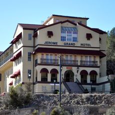
Jerome Grand Hotel
45.2 km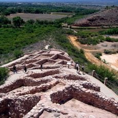
Tuzigoot National Monument
48.9 km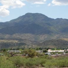
Mingus Mountain
49.9 km
Jerome State Historic Park
45.2 km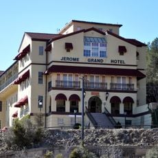
Jerome Historic District
45.2 km
Sycamore Canyon Wilderness
39.5 km
Woodchute Wilderness
42 km
Mingus Lookout Complex
49.9 km
Barney Flat Historic Railroad Logging Landscape
25.1 km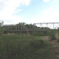
Perkinsville Bridge
27.6 km
Camp Clover Ranger Station
24.4 km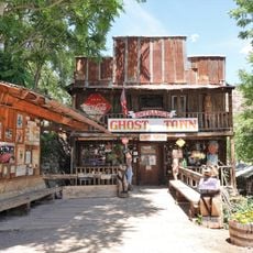
Gold King Mine Ghost Town
43.9 km
Clarkdale Historic District
46.6 km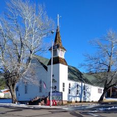
First Methodist Episcopal Church and Parsonage
34.2 km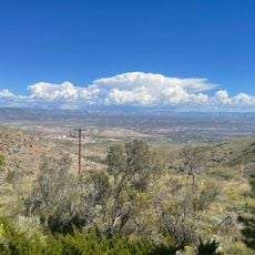
Jerome State Historical Mine Park Museum
45.2 km
Williams Residential Historic District
27.3 km
Willard House
50.4 km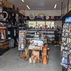
Route 66 Museum And Gift Shop
26.8 km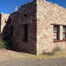
Tuzigoot Museum
48.9 km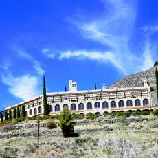
Audrey Headframe Park
45.1 km
Volunteer Lookout Cabin
49 km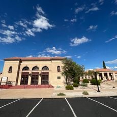
Clark Memorial Clubhouse
46.8 km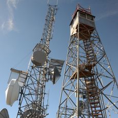
Bill Williams Lookout Tower
22.7 km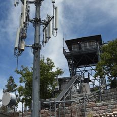
Volunteer Lookout Tower
49 km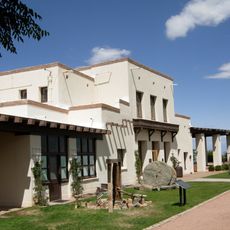
Douglas Mansion
45.2 km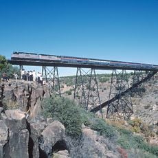
Big Hell Canyon Railroad Bridge
11.6 km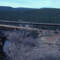
Little Hell Canyon Railroad Bridge
15 m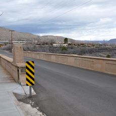
Broadway Street Bridge
46.7 kmReviews
Visited this place? Tap the stars to rate it and share your experience / photos with the community! Try now! You can cancel it anytime.
Discover hidden gems everywhere you go!
From secret cafés to breathtaking viewpoints, skip the crowded tourist spots and find places that match your style. Our app makes it easy with voice search, smart filtering, route optimization, and insider tips from travelers worldwide. Download now for the complete mobile experience.

A unique approach to discovering new places❞
— Le Figaro
All the places worth exploring❞
— France Info
A tailor-made excursion in just a few clicks❞
— 20 Minutes