Chest opened
+${chestReward.xp} XP
Explorer
NOUVEAU ×${chestReward.collectible.quantity}
tapez pour fermer

See the monuments around you in AR Open chests in the app

Around Us is built for your phone — point your camera at the streets and discover the monuments and places around you in augmented reality. Around Us is built for your phone — chests unlock when you walk, explore and capture nearby places.

Enable Location

We need your location to show you interesting places around you

Discover nearby places

Find interesting locations and hidden gems around you

Precise directions

Get accurate directions and distances to places

Your location is never shared with other users. It's only used when you tap the location button.

Tuzigoot National Monument

Log in to your account

Start exploring — it's free

Trusted by 82,413 travelers worldwide

Continue with Google
Continue with Apple
or

We will send you a code to connect

By continuing, you accept our Terms and Conditions and our Privacy Policy

Check your inbox

We've sent a pincode in your inbox. Please enter the code below.

Discussion Reviews 1 Photos
18.6k Popularity

Tuzigoot National Monument, Archaeological site in Verde Valley, United States.

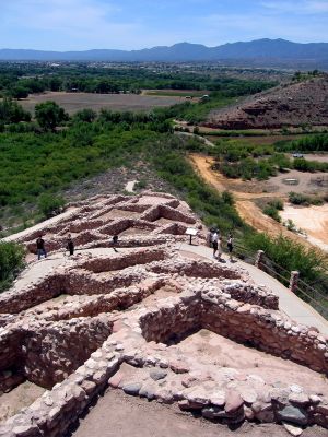
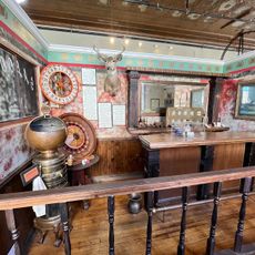
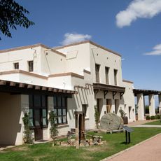
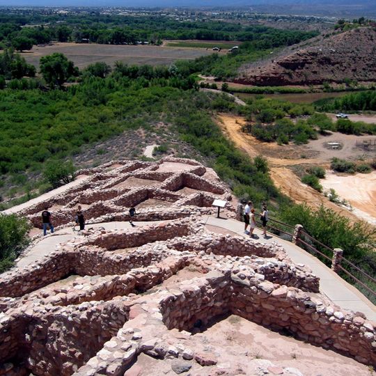
Tuzigoot National Monument is an archaeological site with a pueblo complex perched on a limestone ridge containing about 110 rooms spread across multiple levels and connected by stone walkways. A museum on-site displays artifacts and offers context for understanding the settlement's layout and daily functions.

The Sinagua people built and inhabited this settlement between 1000 and 1400 CE, developing farming methods near the Verde River. The site grew into a larger complex during this period before residents eventually abandoned the area.

The museum displays pottery, tools, and textiles that show how the Sinagua people lived and worked in their daily routines. These objects help visitors understand the practical aspects of life in this ancient community.

The site is open daily and visitors can walk a trail that loops around the pueblo structure at the top of the ridge. The vantage point from the highest sections offers wide views across the valley and surrounding landscape.

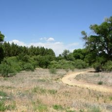
The property includes Tavasci Marsh, a 12-acre wetland that supports diverse bird species and represents one of Arizona's few remaining riparian habitats today. This living ecosystem shows how crucial water sources were to the ancient inhabitants and the surrounding environment.

The community of curious travelers

AroundUs brings together thousands of curated places, local tips, and hidden gems, enriched daily by 60,000 contributors worldwide.

Start exploring
Location
Inception
July 25, 1939
Operator
United States National Park Service
GPS coordinates
34.77090,-112.02600
Latest update
July 31, 2026 08:21
Around this place
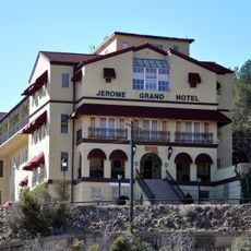
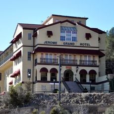
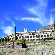
Jerome Grand Hotel
United States of America

Jerome Grand Hotel

8 km
Dead Horse Ranch State Park
United States of America

Dead Horse Ranch State Park

2.4 km
Jerome State Historic Park
United States of America

Jerome State Historic Park

8 km
Jerome Historic District
United States of America

Jerome Historic District

8 km
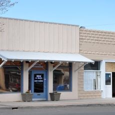
Building at 826 North Main Street
United States of America

Building at 826 North Main Street

2.8 km
Clarkdale Historic District
United States of America

Clarkdale Historic District

3 km
United States of America

Thompson Ranch

6.3 km
Jerome State Historical Mine Park Museum
United States of America

Jerome State Historical Mine Park Museum

8 km
Master Mechanic's House
United States of America

Master Mechanic's House

4.2 km
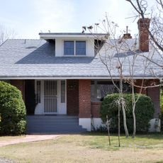
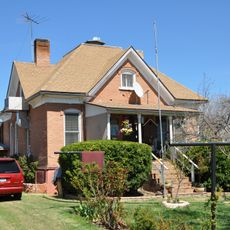
Willard House
United States of America

Willard House

2.3 km
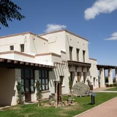
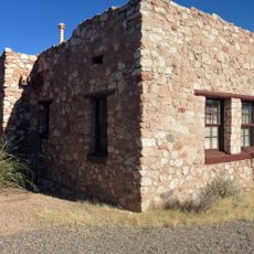
Tuzigoot Museum
United States of America

Tuzigoot Museum

80 m
Audrey Headframe Park
United States of America

Audrey Headframe Park

8.1 km
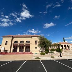
Clark Memorial Clubhouse
United States of America

Clark Memorial Clubhouse

2.8 km
United States of America

Garrison Park

3.7 km
Douglas Mansion
United States of America

Douglas Mansion

8 km
United States of America

Statue, Work of art

2.4 km
United States of America

Verde Santa Fe Golf Course

7.6 km
United States of America

Ghost Town Tours

8.6 km
United States of America

Dead Horse Ranch Amphitheather

2 km
United States of America

Jerome Mine Museum

8.5 km
United States of America

Coyote Trails Golf Cours (ex Pine Shadows)

2.5 km
United States of America

Statue, Work of art

2.4 km
United States of America

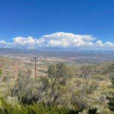
Scenic viewpoint

4.1 km
United States of America

Scenic viewpoint

6.1 km
United States of America

Scenic viewpoint

6.1 km
United States of America

Scenic viewpoint

2.7 km
United States of America

Scenic viewpoint

2.6 km
United States of America

Scenic viewpoint

3.4 km
Show the full map
Reviews
Share your experience

No review yet

Discussions
Start a discussion...

No discussion yet

« Tuzigoot National Monument - Archaeological site in Verde Valley, United States » is provided by Around Us (aroundus.com). Images and texts are derived from Wikimedia project under a Creative Commons license. You are allowed to copy, distribute, and modify copies of this page, under the conditions set by the license, as long as this note is clearly visible.

Discover hidden gems everywhere you go!

From secret cafés to breathtaking viewpoints, skip the crowded tourist spots and find places that match your style. Our app makes it easy with voice search, smart filtering, route optimization, and insider tips from travelers worldwide. Download now for the complete mobile experience.

Around Us App Screenshot

A unique approach to discovering new places

Le Figaro

All the places worth exploring

France Info

A tailor-made excursion in just a few clicks

20 Minutes

Around Us
Travel Guide & Maps
Download

Send to your phone

QR Code
1

Open the camera app on your mobile.

2

Point at the QR code with your camera. A notification will appear.

3

Tap the notification to open the link.