Chest opened
+${chestReward.xp} XP
Explorer
NOUVEAU ×${chestReward.collectible.quantity}
tapez pour fermer

See the monuments around you in AR Open chests in the app

Around Us is built for your phone — point your camera at the streets and discover the monuments and places around you in augmented reality. Around Us is built for your phone — chests unlock when you walk, explore and capture nearby places.

Enable Location

We need your location to show you interesting places around you

Discover nearby places

Find interesting locations and hidden gems around you

Precise directions

Get accurate directions and distances to places

Your location is never shared with other users. It's only used when you tap the location button.

Bell Rock

Log in to your account

Start exploring — it's free

Trusted by 85,439 travelers worldwide

Continue with Google
Continue with Apple
or

We will send you a code to connect

By continuing, you accept our Terms and Conditions and our Privacy Policy

Check your inbox

We've sent a pincode in your inbox. Please enter the code below.

Bell Rock
Discussion Reviews 1 Photos
12.3k Popularity

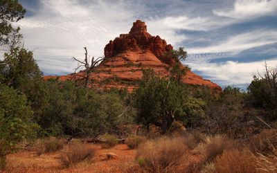
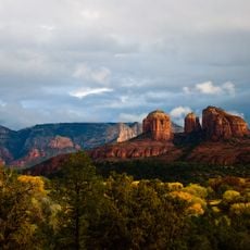
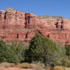
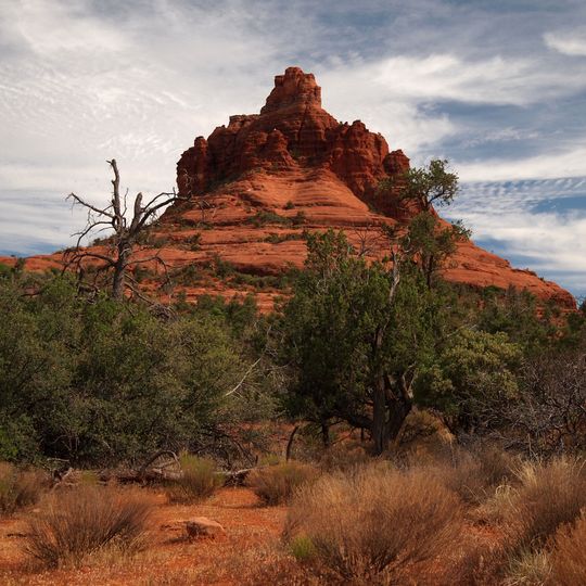
Bell Rock, Red sandstone butte in Yavapai County, Arizona.

Bell Rock is a red sandstone butte in Yavapai County that rises prominently from the surrounding desert floor. Its distinctive layered structure creates a cone-like profile when viewed from different angles.

The rock formation developed over millions of years as ancient Permian deposits eroded and shaped the landscape. The layered bands we see today result from this long geological history of the region.

Native American tribes from the region maintain deep connections to Bell Rock through their traditions, considering it a place of spiritual importance.

Several marked trails loop around this formation and offer routes for different experience levels. The main path on the northwest side leads to a viewpoint where hikers can rest and look out over the landscape.

The surface displays red and orange bands that shift in tone depending on the time of day and position of the sun. This color change becomes most noticeable during early morning and late afternoon hours.

The community of curious travelers

AroundUs brings together thousands of curated places, local tips, and hidden gems, enriched daily by 60,000 contributors worldwide.
Start exploring
Location
GPS coordinates
34.80030,-111.76500
Latest update
August 29, 2026 21:42
Around this place
Oak Creek Canyon
United States of America

Oak Creek Canyon

8.1 mi
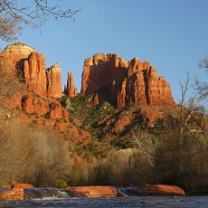
Cathedral Rock
United States of America

Cathedral Rock

2.1 mi
Slide Rock State Park
United States of America

Slide Rock State Park

8.2 mi
Red Rock State Park
United States of America

Red Rock State Park

3.7 mi
Tuzigoot National Monument
United States of America

Tuzigoot National Monument

15.1 mi
Red Rock-Secret Mountain Wilderness
United States of America

Red Rock-Secret Mountain Wilderness

12.6 mi
Dead Horse Ranch State Park
United States of America

Dead Horse Ranch State Park

14.4 mi
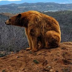
Out of Africa Wildlife Park
United States of America

Out of Africa Wildlife Park

15.8 mi
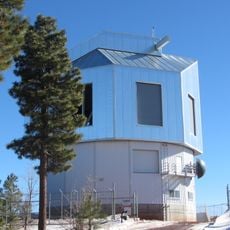
Discovery Channel Telescope
United States of America

Discovery Channel Telescope

19.9 mi
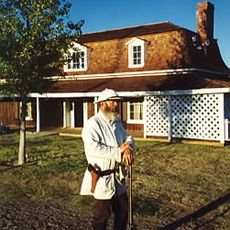
Fort Verde State Historic Park
United States of America

Fort Verde State Historic Park

17 mi
Courthouse Butte
United States of America

Courthouse Butte

0.6 mi
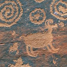
V-Bar-V Heritage Site
United States of America

V-Bar-V Heritage Site

10 mi
Sycamore Canyon Wilderness
United States of America

Sycamore Canyon Wilderness

18.1 mi
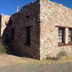
Beaver Creek Ranger Station
United States of America

Beaver Creek Ranger Station

9.3 mi
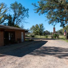
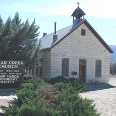
Clear Creek Church
United States of America

Clear Creek Church

19.4 mi
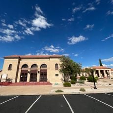
Sedona Ranger Station
United States of America

Sedona Ranger Station

4.3 mi
Clarkdale Historic District
United States of America

Clarkdale Historic District

16.8 mi
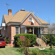
Master Mechanic's House
United States of America

Master Mechanic's House

15.5 mi
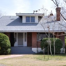
Willard House
United States of America

Willard House

15.4 mi
Sedona Heritage Museum
United States of America

Sedona Heritage Museum

5.4 mi
Tuzigoot Museum
United States of America

Tuzigoot Museum

15 mi
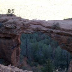
Devil's Bridge, Sedona
United States of America

Devil's Bridge, Sedona

7.2 mi
Verde Valley Archaeology Center and Museum
United States of America

Verde Valley Archaeology Center and Museum

17.1 mi
Clark Memorial Clubhouse
United States of America

Clark Memorial Clubhouse

16.7 mi
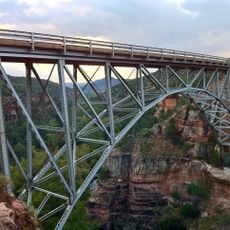
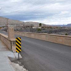
Midgley Bridge
United States of America

Midgley Bridge

6 mi
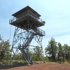
Apache Maid Lookout
United States of America

Apache Maid Lookout

13.2 mi
Pumphouse Wash Bridge
United States of America

Pumphouse Wash Bridge

15.6 mi
Broadway Street Bridge
United States of America

Broadway Street Bridge

16.6 mi
Show the full map
Reviews
Share your experience

No review yet

Discussions
Start a discussion...

No discussion yet

« Bell Rock - Red sandstone butte in Yavapai County, Arizona » is provided by Around Us (aroundus.com). Images and texts are derived from Wikimedia project under a Creative Commons license. You are allowed to copy, distribute, and modify copies of this page, under the conditions set by the license, as long as this note is clearly visible.

Discover hidden gems everywhere you go!

From secret cafés to breathtaking viewpoints, skip the crowded tourist spots and find places that match your style. Our app makes it easy with voice search, smart filtering, route optimization, and insider tips from travelers worldwide. Download now for the complete mobile experience.
Around Us App Screenshot

A unique approach to discovering new places

Le Figaro

All the places worth exploring

France Info

A tailor-made excursion in just a few clicks

20 Minutes

Around Us
Travel Guide & Maps
Download

Send to your phone

QR Code
1

Open the camera app on your mobile.

2

Point at the QR code with your camera. A notification will appear.

3

Tap the notification to open the link.