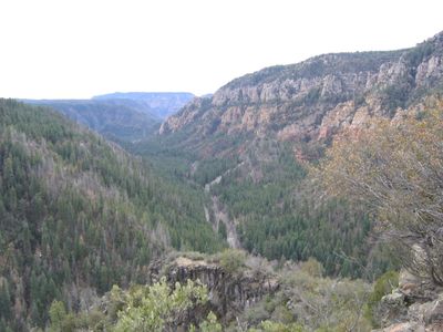
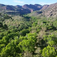
Oak Creek Canyon, Natural canyon in northern Arizona, United States
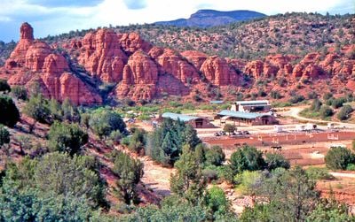
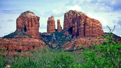
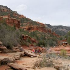
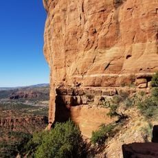
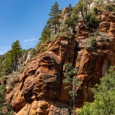
Oak Creek Canyon is a deep gorge carved by flowing water through layered red rock formations in the Coconino National Forest. The canyon features steep walls on either side and a year-round stream that has shaped the landscape over millennia.
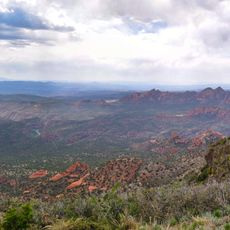
The canyon formed over millions of years as flowing water slowly carved through rock layers, revealing the red and orange hues visible today. Later, the passage became an important route for early inhabitants crossing the region.
Oak Creek Canyon has long been sacred to local Native American communities who still harvest plants and hold gatherings in its shaded alcoves. The canyon remains a gathering place where visitors encounter traditional crafts and learn about indigenous connections to the land.
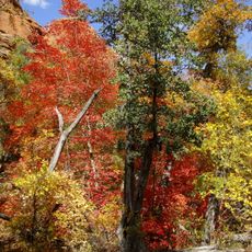
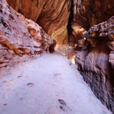
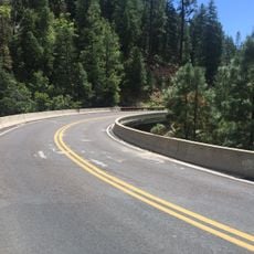
Several hiking trails lead through the canyon, with access points from the main road and smaller parking areas along the route. Water flows year-round, so the trail can be muddy during wet seasons.
The West Fork Trail requires hikers to cross the creek repeatedly along the path, making wet feet part of the adventure rather than an accident. This constant interaction with water sets it apart from most canyon trails in the region.
The community of curious travelers
AroundUs brings together thousands of curated places, local tips, and hidden gems, enriched daily by 60,000 contributors worldwide.