Yavapai County, Administrative county in central Arizona, United States
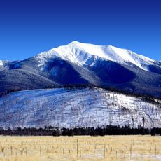
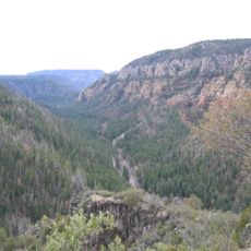
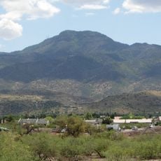
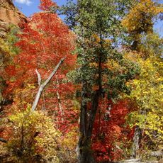
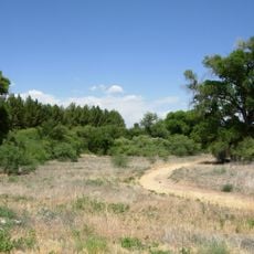
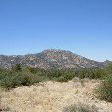
Yavapai County sits in central Arizona and covers an area of around 8,100 square miles, with terrain that rises from desert floors to forested highlands reaching over 7,900 feet. The county takes in several small towns and rural communities spread across zones that shift from dry scrub to pine woodland.
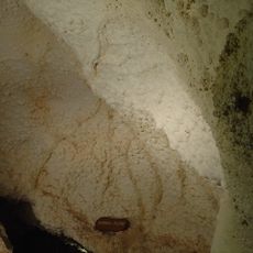
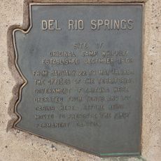
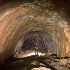
The area was organized in 1865 as one of the first four counties of Arizona Territory, after Prescott had briefly served as the territorial capital. The early years saw mining activity and the establishment of small settlements that grew along water sources and in higher elevations.
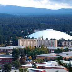
Multiple educational institutions enrich the county, including two colleges and an aeronautical university, while museums preserve the territorial and Native American heritage.
Visitors will find several small towns scattered across the county at different elevations, which strongly affects temperature and weather conditions depending on location. Roads connect the spread-out communities, and travelers should plan for longer drives between settlements.
More than three quarters of the land is managed by federal agencies, including portions of three different national forests. These public lands shape land use and access across much of the county.
The community of curious travelers
AroundUs brings together thousands of curated places, local tips, and hidden gems, enriched daily by 60,000 contributors worldwide.