Coffre ${chestReward.rarityLabel}
+${chestReward.xp} XP
Explorer
NOUVEAU ×${chestReward.collectible.quantity}
tapez pour fermer
Chest locked

Open chests in the app

Around Us is built for your phone — chests unlock when you walk, explore and capture nearby places.

Enable Location

We need your location to show you interesting places around you

Discover nearby places

Find interesting locations and hidden gems around you

Precise directions

Get accurate directions and distances to places

Your location is never shared with other users. It's only used when you tap the location button.

Bunkerville

Log in to your account

Start exploring — it's free

Trusted by 72,284 travelers worldwide

Continue with Google
Continue with Apple
or

We will send you a code to connect

By continuing, you accept our Terms and Conditions and our Privacy Policy

Check your inbox

We've sent a pincode in your inbox. Please enter the code below.

Discussion Reviews 1 Photos
14.7k Popularity

Bunkerville, Census-designated place in Clark County, Nevada.

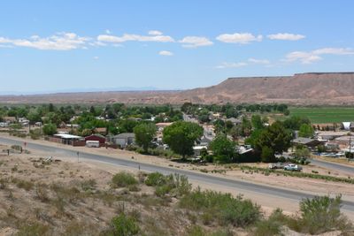
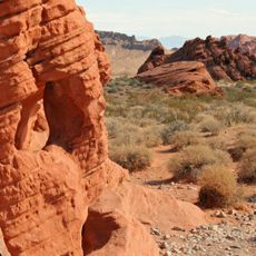
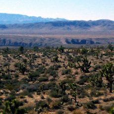
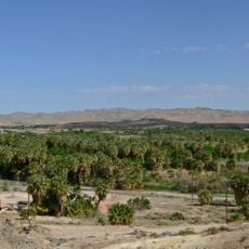
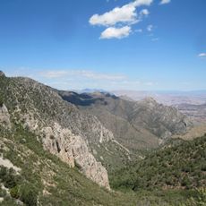
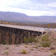
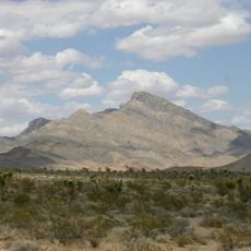
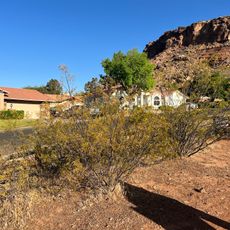
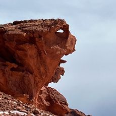
Bunkerville is a census-designated place in Clark County, Nevada, situated along the Virgin River and surrounded by desert terrain. Mountains frame the landscape in the distance while native shrubs and plants dominate the ground throughout the community.

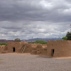
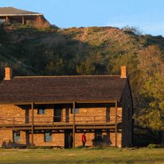
Mormon settlers from Utah established this community in 1877 and named it after Edward Bunker, who relocated his family from Santa Clara to the area. The settlement followed the pattern of early religious communities spreading through the region.

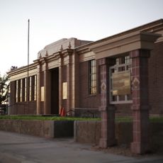
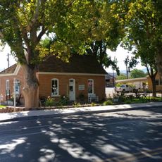
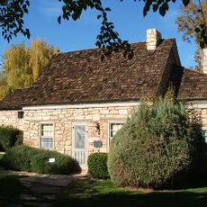
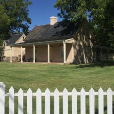
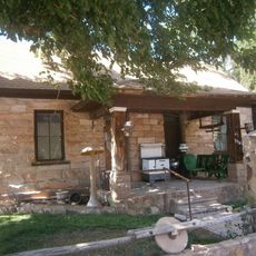
The community center serves as the social hub where neighbors gather for events and recreation throughout the year. Local life revolves around these shared spaces and the activities that bring residents together.

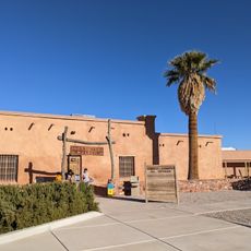
The community center provides access to sports fields and a spray pad, which become essential spots during the heat of the day. Visitors should prepare for extreme temperatures and bring plenty of water and sun protection.

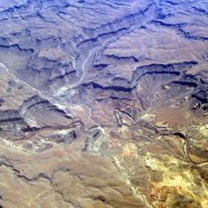
Summer brings intense heat to the area, with temperatures regularly climbing above 110 degrees Fahrenheit (43 degrees Celsius). The landscape itself shows signs of adaptation to these harsh conditions that shape life here.

The community of curious travelers

AroundUs brings together thousands of curated places, local tips, and hidden gems, enriched daily by 60,000 contributors worldwide.

Start exploring
Location
GPS coordinates
36.76528,-114.13639
Latest update
December 7, 2025 20:20
Around this place
Valley of Fire State Park
United States of America

Valley of Fire State Park

50.7 km
Double Negative
United States of America

Double Negative

25 km
Virgin River Gorge
United States of America

Virgin River Gorge

30.2 km
Lost City Museum
United States of America

Lost City Museum

37.6 km
Warm Springs Natural Area
United States of America

Warm Springs Natural Area

51.9 km
Beaver Dam Wash National Conservation Area
United States of America

Beaver Dam Wash National Conservation Area

37.4 km
United States of America

Black Rock

49.9 km
Moapa Valley National Wildlife Refuge
United States of America

Moapa Valley National Wildlife Refuge

52.2 km
Jacob Hamblin House
United States of America

Jacob Hamblin House

58.9 km
United States of America

Webb Hill

60.2 km
Virgin Valley Heritage Museum
United States of America

Virgin Valley Heritage Museum

7.5 km
Paiute Wilderness
United States of America

Paiute Wilderness

28.7 km
LDS Moapa Stake Office Building
United States of America

LDS Moapa Stake Office Building

37.2 km
Thomas Leavitt House
United States of America

Thomas Leavitt House

1 km
Parley Hunt House
United States of America

Parley Hunt House

2.2 km
Mesquite High School Gymnasium
United States of America

Mesquite High School Gymnasium

7.6 km
Sand Hollow Wash Bridge
United States of America

Sand Hollow Wash Bridge

14 km
Yellow Knolls
United States of America

Yellow Knolls

42.3 km
George and Bertha Graff House
United States of America

George and Bertha Graff House

59.5 km
Wallace Blake House
United States of America

Wallace Blake House

56.8 km
Hans George Hafen House
United States of America

Hans George Hafen House

59.3 km
William F. Butler House
United States of America

William F. Butler House

61.7 km
Davidson Peak
United States of America

Davidson Peak

22.2 km
Frederick, Jr., and Mary F. Reber House
United States of America

Frederick, Jr., and Mary F. Reber House

59 km
Lost City Museum-Archaeology
United States of America

Lost City Museum-Archaeology

37.6 km
Frederick and Anna Maria Reber House
United States of America

Frederick and Anna Maria Reber House

59.4 km
Bloomington Petroglyph Park
United States of America

Bloomington Petroglyph Park

56.3 km
Little Finland
United States of America

Little Finland

35.9 km
Show the full map
Reviews
Share your experience

No review yet

Discussions
Start a discussion...

No discussion yet

« Bunkerville - Census-designated place in Clark County, Nevada » is provided by Around Us (aroundus.com). Images and texts are derived from Wikimedia project under a Creative Commons license. You are allowed to copy, distribute, and modify copies of this page, under the conditions set by the license, as long as this note is clearly visible.

Discover hidden gems everywhere you go!

From secret cafés to breathtaking viewpoints, skip the crowded tourist spots and find places that match your style. Our app makes it easy with voice search, smart filtering, route optimization, and insider tips from travelers worldwide. Download now for the complete mobile experience.

Around Us App Screenshot

A unique approach to discovering new places

Le Figaro

All the places worth exploring

France Info

A tailor-made excursion in just a few clicks

20 Minutes

Around Us
Travel Guide & Maps
Download

Send to your phone

QR Code
1

Open the camera app on your mobile.

2

Point at the QR code with your camera. A notification will appear.

3

Tap the notification to open the link.