Chest opened
+${chestReward.xp} XP
Explorer
NOUVEAU ×${chestReward.collectible.quantity}
tapez pour fermer

See the monuments around you in AR Open chests in the app

Around Us is built for your phone — point your camera at the streets and discover the monuments and places around you in augmented reality. Around Us is built for your phone — chests unlock when you walk, explore and capture nearby places.

•

Enable Location

We need your location to show you interesting places around you

Discover nearby places

Find interesting locations and hidden gems around you

Precise directions

Get accurate directions and distances to places

Your location is never shared with other users. It's only used when you tap the location button.

Vermilion Cliffs National Monument

Log in to your account

Start exploring — it's free

Trusted by 94,067 travelers worldwide

Continue with Google
Continue with Apple
or

We will send you a code to connect

By continuing, you accept our Terms and Conditions and our Privacy Policy

Check your inbox

We've sent a pincode in your inbox. Please enter the code below.

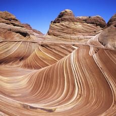
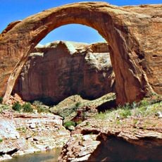
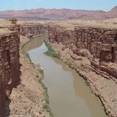
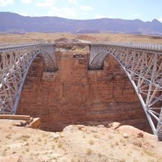
Vermilion Cliffs National Monument, National monument in Coconino County, United States.

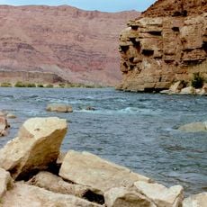
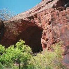
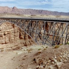
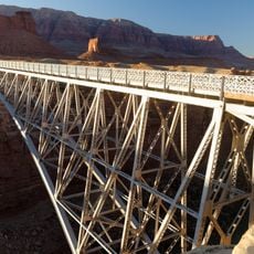
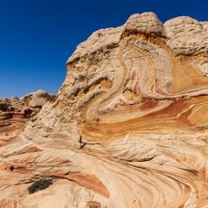
Vermilion Cliffs National Monument is a 293,689-acre protected area in northern Coconino County, Arizona, immediately south of the Utah state line. It protects the Paria Plateau, the Vermilion Cliffs, Coyote Buttes and Paria Canyon, with elevations from 3,100 to 6,500 feet. The cliffs are eroded escarpments of sandstone, siltstone, limestone and shale rising as much as 3,000 feet above their bases, exposing hundreds of colored rock layers.

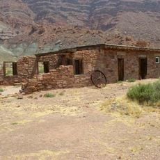
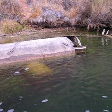
Human presence here goes back about 12,000 years, leaving hundreds of Ancestral Puebloan sites and one of the largest rock art collections in any US protected area. The Domínguez–Escalante expedition passed through in 1776, Mormon settlers arrived from 1860, and John D. Lee built a Colorado River ferry below the cliffs in 1871. President Bill Clinton proclaimed the national monument on November 9, 2000; the Bureau of Land Management administers its 293,689 acres.

The monument holds one of the largest collections of rock art in any US protected area, with petroglyphs believed to be among the oldest in the country. Hundreds of Native American pueblo sites include houses, granaries and burial areas. The name Vermilion comes from cinnabar, the red mineral pigment.

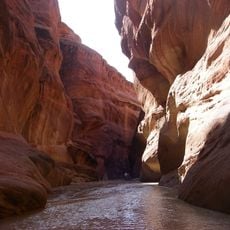
The monument has few roads and almost no permanent inhabitants; Highway 89A runs along the base of the Vermilion Cliffs on the south and east, forming the main access. The Paria Canyon and Buckskin Gulch through-hike takes three to five days, and Buckskin Gulch narrows to under a metre in places. Some land inside the boundary is private and not part of the monument.

The California condor was reintroduced to this region in 1996, chosen for its remote location and lack of human habitation. More than twenty raptor species have been recorded in the monument, including bald eagles, golden eagles and peregrine falcons.

The community of curious travelers

AroundUs brings together thousands of curated places, local tips, and hidden gems, enriched daily by 94,067 contributors worldwide.

Start exploring
Location
Inception
2000
Operator
BLM
GPS coordinates
36.84267,-111.80554
Latest update
October 29, 2026 02:19
Reviews
Share your experience

No review yet

Discussions
Start a discussion...

No discussion yet

« Vermilion Cliffs National Monument - National monument in Coconino County, United States » is provided by Around Us (aroundus.com). Images and texts are derived from Wikimedia project under a Creative Commons license. You are allowed to copy, distribute, and modify copies of this page, under the conditions set by the license, as long as this note is clearly visible.

Discover hidden gems everywhere you go!

From secret cafés to breathtaking viewpoints, skip the crowded tourist spots and find places that match your style. Our app makes it easy with voice search, smart filtering, route optimization, and insider tips from travelers worldwide. Download now for the complete mobile experience.

Around Us App Screenshot
❝

A unique approach to discovering new places❞

— Le Figaro

❝

All the places worth exploring❞

— France Info

❝

A tailor-made excursion in just a few clicks❞

— 20 Minutes

Around Us
Travel Guide & Maps
Download

Send to your phone

QR Code
1

Open the camera app on your mobile.

2

Point at the QR code with your camera. A notification will appear.

3

Tap the notification to open the link.