Enable Location

We need your location to show you interesting places around you

Discover nearby places

Find interesting locations and hidden gems around you

Precise directions

Get accurate directions and distances to places

Your location is never shared with other users. It's only used when you tap the location button.

Zion Canyon

Log in to your account

Start exploring — it's free

Trusted by 61,991 travelers worldwide

Continue with Google
Continue with Apple
or

We will send you a code to connect

By continuing, you accept our Terms and Conditions and our Privacy Policy

Check your inbox

We've sent a pincode in your inbox. Please enter the code below.

Zion Canyon

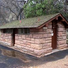
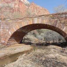
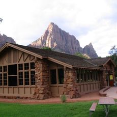
Zion Canyon, Canyon in Washington County, United States

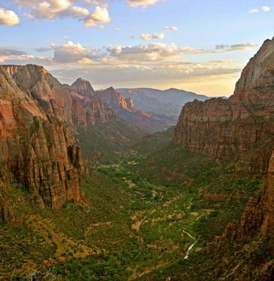
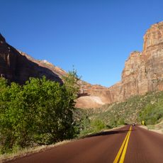
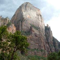
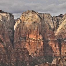
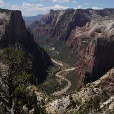
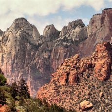
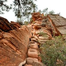
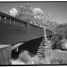
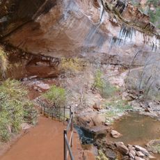
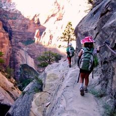
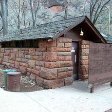
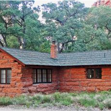
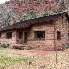
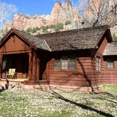
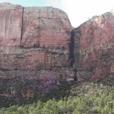
Zion Canyon is a deep gorge in Washington County carved by the North Fork of the Virgin River through red and tan Navajo Sandstone. The canyon walls tower above and form a narrow valley with steep rock faces rising on both sides.

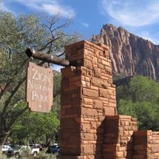
The area was protected as Mukuntuweap National Monument by President William Howard Taft in 1909 and gained national park status a decade later in 1919. This change reflected growing recognition of the canyon's importance as a protected natural area.

The canyon exhibits evidence of three distinct cultural periods: Archaic, Protohistoric, and Historic, representing different indigenous communities across millennia.

A shuttle service runs from spring through fall, connecting various trailheads and viewpoints throughout the area. The best time to visit is in spring or autumn when temperatures are mild and crowds are smaller.

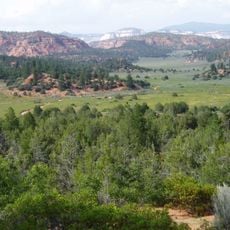
The area sits where the Colorado Plateau, Great Basin, and Mojave Desert meet, creating four distinct vegetation zones. This rare overlap of ecosystems attracts nearly 300 bird species that visitors might spot throughout their stay.

The community of curious travelers

AroundUs brings together thousands of curated places, local tips, and hidden gems, enriched daily by 60,000 contributors worldwide.

Start exploring
Elevation above the sea
1,147 m
GPS coordinates
37.16500,-113.01200
Latest update
December 7, 2025 10:06
Around this place
Zion – Mount Carmel Highway
United States of America

Zion – Mount Carmel Highway

9.5 km
The Great White Throne
United States of America

The Great White Throne

12.4 km
Court of the Patriarchs
United States of America

Court of the Patriarchs

9.1 km
Canaan Mountain Wilderness
United States of America

Canaan Mountain Wilderness

9.6 km
Floor of the Valley Road
United States of America

Floor of the Valley Road

11.3 km
Towers of the Virgin
United States of America

Towers of the Virgin

7.6 km
Rockville Bridge (Rockville, Utah)
United States of America

Rockville Bridge (Rockville, Utah)

2.4 km
Zion Lodge–Birch Creek Historic District
United States of America

Zion Lodge–Birch Creek Historic District

10.6 km
Angels Landing Trail
United States of America

Angels Landing Trail

13 km
Virgin River Bridge
United States of America

Virgin River Bridge

6.7 km
Canyon Overlook Trail
United States of America

Canyon Overlook Trail

8.3 km
South Campground Comfort Station
United States of America

South Campground Comfort Station

5 km
Pine Creek Bridge
United States of America

Pine Creek Bridge

7 km
South Campground Amphitheater
United States of America

South Campground Amphitheater

5.2 km
Grotto Camping Ground North Comfort Station
United States of America

Grotto Camping Ground North Comfort Station

12.2 km
Emerald Pools Trail
United States of America

Emerald Pools Trail

11.2 km
Hidden Canyon Trail
United States of America

Hidden Canyon Trail

12.8 km
South Entrance Sign
United States of America

South Entrance Sign

4.5 km
Zion Human History Museum
United States of America

Zion Human History Museum

5.7 km
Grotto Camping Ground South Comfort Station
United States of America

Grotto Camping Ground South Comfort Station

12.2 km
Grotto Residence
United States of America

Grotto Residence

11.7 km
Pine Creek Residential Historic District
United States of America

Pine Creek Residential Historic District

6.4 km
Oak Creek Historic District
United States of America

Oak Creek Historic District

5.6 km
Zion Nature Center-Zion Inn
United States of America

Zion Nature Center-Zion Inn

5.2 km
Zion Canyon Visitor Center
United States of America

Zion Canyon Visitor Center

4.5 km
The Streaked Wall
United States of America

The Streaked Wall

6.9 km
Watchman Campground Amphitheater
United States of America

Watchman Campground Amphitheater

4 km
Upper Pine Creek Bridge
United States of America

Upper Pine Creek Bridge

8.3 km
Show the full map
« Zion Canyon - Canyon in Washington County, United States » is provided by Around Us (aroundus.com). Images and texts are derived from Wikimedia project under a Creative Commons license. You are allowed to copy, distribute, and modify copies of this page, under the conditions set by the license, as long as this note is clearly visible.

Discover hidden gems everywhere you go!

From secret cafés to breathtaking viewpoints, skip the crowded tourist spots and find places that match your style. Our app makes it easy with voice search, smart filtering, route optimization, and insider tips from travelers worldwide. Download now for the complete mobile experience.

Around Us App Screenshot

A unique approach to discovering new places

Le Figaro

All the places worth exploring

France Info

A tailor-made excursion in just a few clicks

20 Minutes

Around Us
Travel Guide & Maps
Download

Send to your phone

QR Code
1

Open the camera app on your mobile.

2

Point at the QR code with your camera. A notification will appear.

3

Tap the notification to open the link.