Paria, ghost town in Kane County, Utah, United States
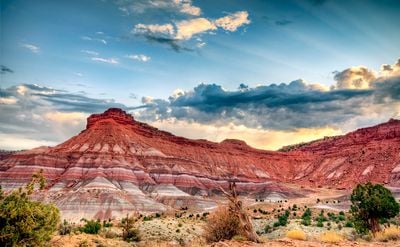
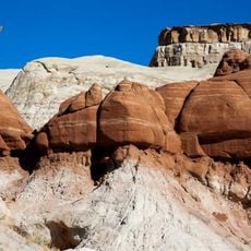
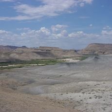
Paria is a ghost town in Kane County, Utah, sitting in a valley surrounded by rock cliffs in shades of red, orange, purple, and grey. Old brick building ruins stand near the cliff base, and a small cemetery marks the graves of early settlers who once lived here.
The settlement was founded in 1865 by a Mormon group under the name Rockhouse, then moved upstream and renamed Pahreah in 1870. Repeated flooding through the 1880s and a failed mining effort in the early 1900s drove people away, and the last resident left in 1929.
The name Paria comes from the Paiute language and means muddy river or elk river. The cemetery that remains on the site gives a quiet sense of who once tried to make a life in this remote valley.
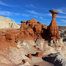
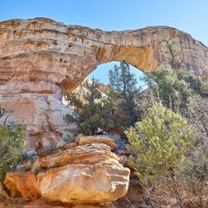
The site is reached by a gravel road that most vehicles can handle in dry conditions, but rain or flooding can make it impassable. There are no facilities on site, so bringing enough water and wearing sturdy footwear is a good idea before heading out.
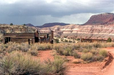
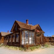
From the 1940s onward, the area was used as a film location, and a fake western town built nearby for the 1961 movie Sergeants 3 has since collapsed into ruins next to the real ones. Visitors standing on the site are surrounded by two layers of history: the actual settlement and the movie set that imitated it.
The community of curious travelers
AroundUs brings together thousands of curated places, local tips, and hidden gems, enriched daily by 60,000 contributors worldwide.