Chest opened
+${chestReward.xp} XP
Explorer
NOUVEAU ×${chestReward.collectible.quantity}
tapez pour fermer
Chest locked

Open chests in the app

Around Us is built for your phone — chests unlock when you walk, explore and capture nearby places.

Enable Location

We need your location to show you interesting places around you

Discover nearby places

Find interesting locations and hidden gems around you

Precise directions

Get accurate directions and distances to places

Your location is never shared with other users. It's only used when you tap the location button.

Kings Beach

Log in to your account

Start exploring — it's free

Trusted by 72,880 travelers worldwide

Continue with Google
Continue with Apple
or

We will send you a code to connect

By continuing, you accept our Terms and Conditions and our Privacy Policy

Check your inbox

We've sent a pincode in your inbox. Please enter the code below.

Discussion Reviews 1 Photos
13.1k Popularity

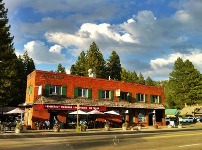
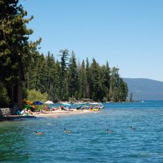
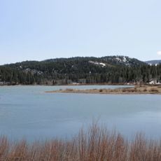
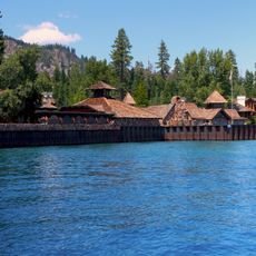
Kings Beach, Census-designated place at Lake Tahoe in Placer County, United States.

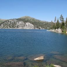
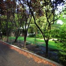
Kings Beach is a settlement on the northern shore of Lake Tahoe at an elevation of about 1,900 meters (6,200 feet), spread across several square kilometers. The area combines residential neighborhoods, waterfront recreation, and proximity to nearby winter sports resorts.

Joe King established the first post office in 1937, marking the beginning of organized settlement in the area. From that point on, the place grew into a residential community shaped by its position as a hub for access to nearby ski regions.

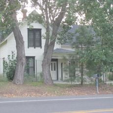
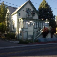
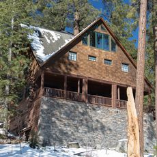
The community is named after Joe King, the first postmaster, and has a split character between year-round residents and vacation homeowners. Most houses sit empty during winter months, giving the place a quieter feel when seasonal visitors leave.

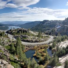
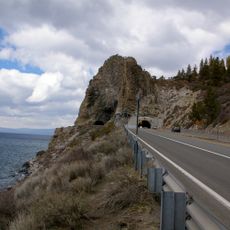
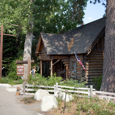
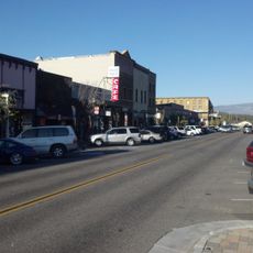
California State Route 28 runs through the area and connects to Interstate 80 for travelers heading to other regions. Most owners and visitors come between June and September when the weather is best and lake activities are most appealing.

The settlement has a notably high vacancy rate because many houses are used only during summer months. This creates an unusual pattern where community life shifts dramatically depending on the season.

The community of curious travelers

AroundUs brings together thousands of curated places, local tips, and hidden gems, enriched daily by 60,000 contributors worldwide.

Start exploring
Location
Elevation above the sea
1,905 m
GPS coordinates
39.24111,-120.02306
Latest update
December 7, 2025 20:41
Around this place
Donner Memorial State Park
United States of America

Donner Memorial State Park

20.8 km
Thunderbird Lodge
United States of America

Thunderbird Lodge

10.8 km
Nevada Governor's Mansion
United States of America

Nevada Governor's Mansion

23.1 km
Bowers Mansion
United States of America

Bowers Mansion

16.4 km
Ed Z'berg Sugar Pine Point State Park
United States of America

Ed Z'berg Sugar Pine Point State Park

22.2 km
Washoe Lake State Park
United States of America

Washoe Lake State Park

20.5 km
SS Tahoe
United States of America

SS Tahoe

17.7 km
United States of America

Mount Pluto, California

10.1 km
De’ek wadapush
United States of America

De’ek wadapush

22.6 km
Lake Tahoe State Park
United States of America

Lake Tahoe State Park

13.7 km
Boca Reservoir
United States of America

Boca Reservoir

17.7 km
Marlette Lake Water System
United States of America

Marlette Lake Water System

17.5 km
Spooner Lake
United States of America

Spooner Lake

17.9 km
Old Winters Ranch/Winters Mansion
United States of America

Old Winters Ranch/Winters Mansion

19.1 km
Lakeview House
United States of America

Lakeview House

19.3 km
Kruger House
United States of America

Kruger House

17.1 km
Watson Log Cabin
United States of America

Watson Log Cabin

12.7 km
Dr. William Henry Cavell House
United States of America

Dr. William Henry Cavell House

22.6 km
Carson City Public Buildings
United States of America

Carson City Public Buildings

22.8 km
Twaddle-Pedroli Ranch
United States of America

Twaddle-Pedroli Ranch

16.5 km
Brougher Mansion
United States of America

Brougher Mansion

23.1 km
Gov. Reinhold Sadler House
United States of America

Gov. Reinhold Sadler House

23.2 km
Chapel of the Transfiguration
United States of America

Chapel of the Transfiguration

14.5 km
Galena Creek Schoolhouse
United States of America

Galena Creek Schoolhouse

22.1 km
Withers Log House
United States of America

Withers Log House

2 km
La Fleur du Lac
United States of America

La Fleur du Lac

19.4 km
Commercial Row-Brickelltown Historic District
United States of America

Commercial Row-Brickelltown Historic District

17.1 km
KidZone Museum
United States of America

KidZone Museum

18.9 km
Show the full map
Reviews
Share your experience

No review yet

Discussions
Start a discussion...

No discussion yet

« Kings Beach - Census-designated place at Lake Tahoe in Placer County, United States » is provided by Around Us (aroundus.com). Images and texts are derived from Wikimedia project under a Creative Commons license. You are allowed to copy, distribute, and modify copies of this page, under the conditions set by the license, as long as this note is clearly visible.

Discover hidden gems everywhere you go!

From secret cafés to breathtaking viewpoints, skip the crowded tourist spots and find places that match your style. Our app makes it easy with voice search, smart filtering, route optimization, and insider tips from travelers worldwide. Download now for the complete mobile experience.

Around Us App Screenshot

A unique approach to discovering new places

Le Figaro

All the places worth exploring

France Info

A tailor-made excursion in just a few clicks

20 Minutes

Around Us
Travel Guide & Maps
Download

Send to your phone

QR Code
1

Open the camera app on your mobile.

2

Point at the QR code with your camera. A notification will appear.

3

Tap the notification to open the link.