Enable Location

We need your location to show you interesting places around you

Discover nearby places

Find interesting locations and hidden gems around you

Precise directions

Get accurate directions and distances to places

Your location is never shared with other users. It's only used when you tap the location button.

Kachelotplate

Log in to your account

Start exploring — it's free

Trusted by 62,842 travelers worldwide

Continue with Google
Continue with Apple
or

We will send you a code to connect

By continuing, you accept our Terms and Conditions and our Privacy Policy

Check your inbox

We've sent a pincode in your inbox. Please enter the code below.

Kachelotplate

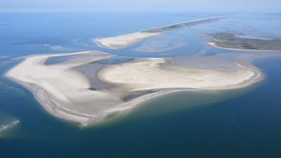
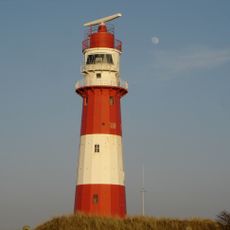
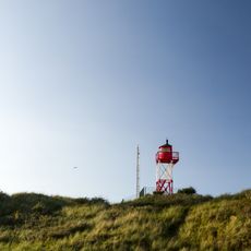
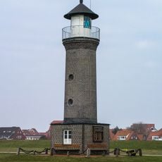
Kachelotplate, High sand in East Frisian Islands, Germany.

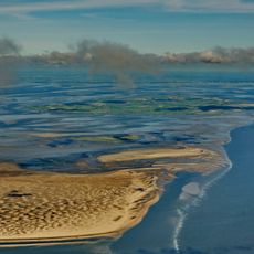
Kachelotplate is a sandbank formation in the East Frisian Islands that rises as a flat landmass constantly surrounded by tidal waters. It consists of light, fine sand and becomes partially or completely submerged at high tide.

The sandbank first appeared in maps during the early 1800s and officially gained island status in 2003. Its formation demonstrates how North Sea landscapes continuously change through natural sediment movement and accumulation.

This sandbank formation supports nesting colonies of seabirds and serves as a vital breeding ground for North Sea species. The site draws birdwatchers and conservation observers who come to study how coastal life returns to recently formed areas.

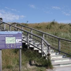
Visiting requires special permits and depends heavily on weather conditions, as the sandflats flood regularly with tidal movements. Exploration is only safe with knowledgeable guides and during stable periods.

The sandbank drifts slowly toward the neighboring Memmert Island and may eventually merge with it. This ongoing process reveals how dynamic and ever-changing the coastal landscape truly is.

The community of curious travelers

AroundUs brings together thousands of curated places, local tips, and hidden gems, enriched daily by 60,000 contributors worldwide.

Start exploring
Part of
East Frisian Islands
GPS coordinates
53.65000,6.81667
Latest update
December 8, 2025 19:54
« Kachelotplate - High sand in East Frisian Islands, Germany » is provided by Around Us (aroundus.com). Images and texts are derived from Wikimedia project under a Creative Commons license. You are allowed to copy, distribute, and modify copies of this page, under the conditions set by the license, as long as this note is clearly visible.

Discover hidden gems everywhere you go!

From secret cafés to breathtaking viewpoints, skip the crowded tourist spots and find places that match your style. Our app makes it easy with voice search, smart filtering, route optimization, and insider tips from travelers worldwide. Download now for the complete mobile experience.

Around Us App Screenshot

A unique approach to discovering new places

Le Figaro

All the places worth exploring

France Info

A tailor-made excursion in just a few clicks

20 Minutes

Around Us
Travel Guide & Maps
Download

Send to your phone

QR Code
1

Open the camera app on your mobile.

2

Point at the QR code with your camera. A notification will appear.

3

Tap the notification to open the link.