Plouescat, commune in Finistère, France
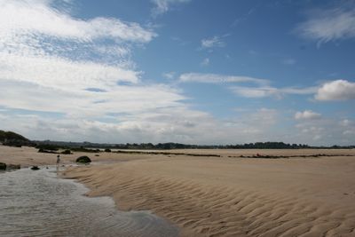
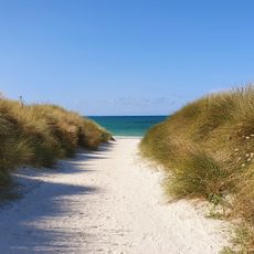
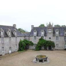
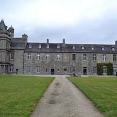
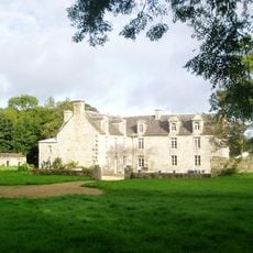
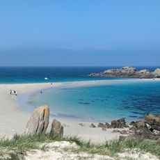
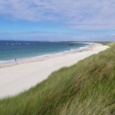
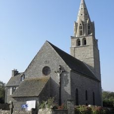
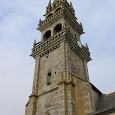
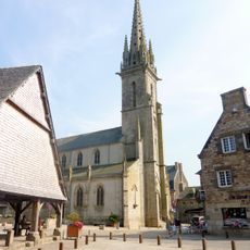
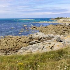
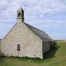
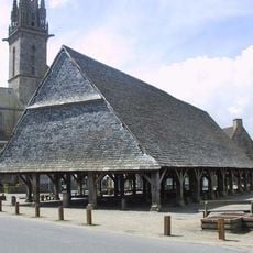
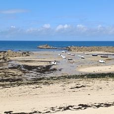
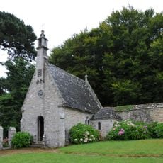
Plouescat is a small coastal town in Brittany with long sandy beaches, granite rock formations, and sheltered coves. The town preserves a market building dating to the 16th century and traditional stone architecture, while life centers around the harbor, village square, and surrounding farmland.
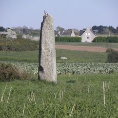
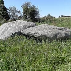
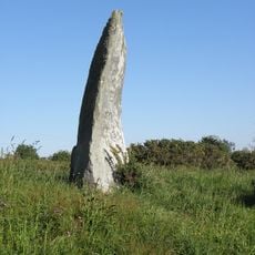
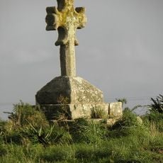
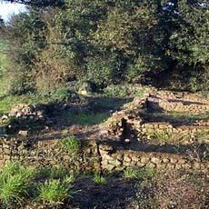
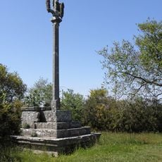
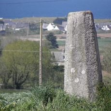
Plouescat was settled since Neolithic times, as shown by ancient burial sites and standing stones. The town later developed into an important fishing port, and its role as a trading and agricultural center is still documented by the preserved 16th-century market building.
The name Plouescat comes from Breton language roots connected to the region's early settlers. In the town center, you can see how locals use the markets and gather in cafes, where community bonds and local customs are part of daily life.
The town is small and easy to explore on foot, with a clear village center around the square and market. Beaches and coastal paths are easily accessible, and bicycles work well for longer trips given the flat terrain.
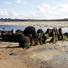
At certain tide times, a Neolithic burial chamber is revealed on the beach, visible only at low tide and connecting visitors directly to prehistoric structures. The coastline is also known for its unusual granite formations shaped by erosion into animal or face-like forms.
The community of curious travelers
AroundUs brings together thousands of curated places, local tips, and hidden gems, enriched daily by 60,000 contributors worldwide.