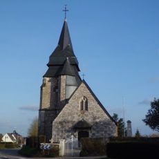
Mont-Cauvaire, Rural commune in Seine-Maritime, Normandy, France.
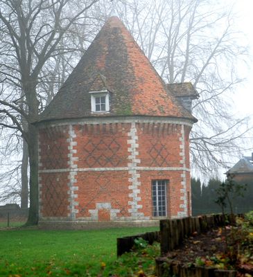
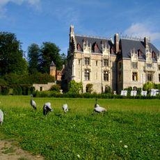
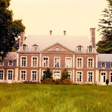
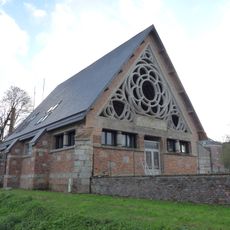
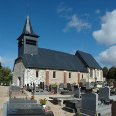
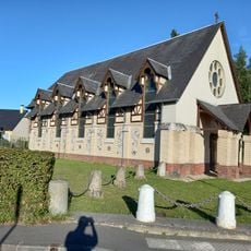
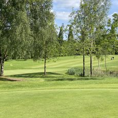
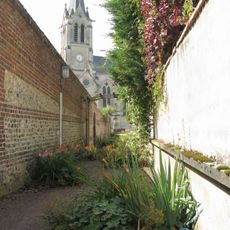
Mont-Cauvaire covers 9.02 square kilometers in the Seine-Maritime department, situated at 151 meters elevation amid the Norman countryside with traditional stone houses and extensive agricultural fields creating a typical rural landscape.
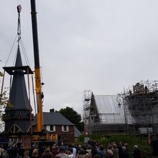
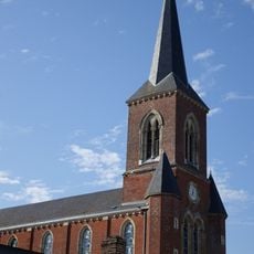
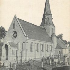
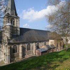
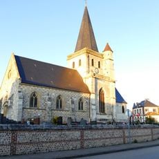
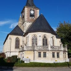
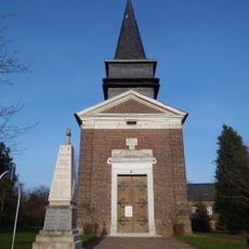
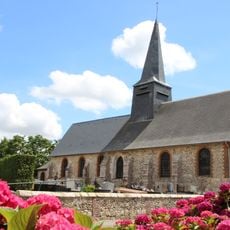
This Norman village historically developed as a small rural settlement, preserving traditional regional architectural elements and maintaining agricultural activities for centuries within the arrondissement of Rouen in northern France.
Local culture in Mont-Cauvaire emphasizes traditional Norman customs, including regional festivals and culinary practices that celebrate Normandy's rich heritage through community gatherings and events that foster local identity.
The town hall located on Route de Clères operates specific weekday hours from Monday to Friday, managed by Mayor Stéphanie Lambard since May 2020, overseeing local administration and services for 620 residents.
Residents known as Calvimontais form a close-knit community of 620 inhabitants who value their village's tranquility and panoramic countryside views from their 151-meter elevation above sea level.
Location: canton of Clères
Location: Seine-Maritime
Location: arrondissement of Rouen
Elevation above the sea: 151 m
Shares border with: Anceaumeville, Authieux-Ratiéville, Clères, Fontaine-le-Bourg, Montville
Address: Route de Clères, 76690 Mont-Cauvaire 76690 Mont-Cauvaire
Phone: +33235332389
Email: montcauvaire@orange.fr
GPS coordinates: 49.57080,1.10925
Latest update: August 19, 2025 09:12
Parc du Bocasse
4.1 km
Cleres Zoological Park
2.9 km
Château du Bosc Théroulde
2.5 km
Musée industriel de la Corderie Vallois
9.5 km
Château de Clères
2.7 km
Musée des sapeurs-pompiers de France
3.5 km
Viaduc de Malaunay
7.7 km
Église Notre-Dame du Bocasse
4.5 km
Théâtre gallo-romain de Saint-André-sur-Cailly
7.6 km
Chapelle du collège de Normandie
1.1 km
Arboretum de Forêt Verte
6.8 km
Église Notre-Dame-de-l'Assomption
7.4 km
Église Sainte-Jeanne-d'Arc d'Eslettes
4.5 km
Golf de Rouen La Forêt Verte
2.6 km
Pop Corn Labyrinthe ROUEN
9.3 km
Centre d'entrainement golfique de Bois-Guillaume
10.2 km
Église Sainte-Marguerite de Quincampoix
7.6 km
Église Saint-Philibert de Sierville
5.7 km
Église Notre-Dame de Fontaine-le-Bourg
3.9 km
Église Notre-Dame de Fresquiennes
7.6 km
Église Saint-Pierre de Bosc-Guérard-Saint-Adrien
3.1 km
Église Notre-Dame de Montville
3.4 km
Église Saint-Pierre de La Rue-Saint-Pierre
9.8 km
Église Saint-Nicolas de Malaunay
6.8 km
Église Saint-Germain d'Isneauville
8.4 km
Église Saint-Georges de Saint-Georges-sur-Fontaine
5.7 km
Église Saint-André de Saint-André-sur-Cailly
8.4 km
Église Saint-Waast-et-Saint-Nicolas de Clères
3 kmReviews
Visited this place? Tap the stars to rate it and share your experience / photos with the community! Try now! You can cancel it anytime.
Discover hidden gems everywhere you go!
From secret cafés to breathtaking viewpoints, skip the crowded tourist spots and find places that match your style. Our app makes it easy with voice search, smart filtering, route optimization, and insider tips from travelers worldwide. Download now for the complete mobile experience.
A unique approach to discovering new places❞
— Le Figaro
All the places worth exploring❞
— France Info
A tailor-made excursion in just a few clicks❞
— 20 Minutes