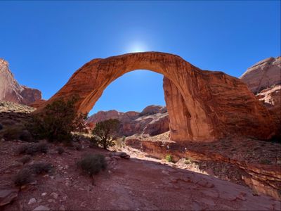
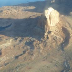
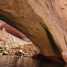
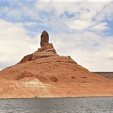
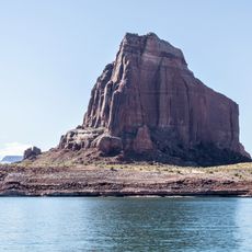
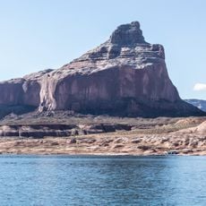
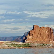
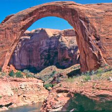
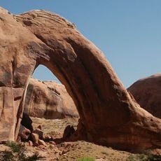
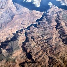
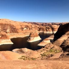
Rainbow Bridge National Monument, Natural arch at Lake Powell, San Juan County, US.
Rainbow Bridge is a natural sandstone arch in a side canyon of Lake Powell, about 13 km north of the Arizona border. Its span measures 84 m and its height 88 m; the top is 13 m thick and 10 m wide. The lintel is Navajo Sandstone, while Bridge Creek cuts through the Kayenta Formation below. The arch rises from a broad base, with a smoother, lighter underside and a rough, striated outer face.
In 1909 two parties, one led by Byron Cummings and one by surveyor W. B. Douglass, searched for the arch and joined forces. Paiute guides Nasja Begay and Jim Mike and trader John Wetherill led them to the span on August 15. President William Howard Taft proclaimed it a national monument on May 30, 1910.
The Navajo, Hopi, San Juan Southern Paiute, Kaibab Paiute, and White Mesa Ute tribes consider this sandstone formation a sacred place. For these peoples, it holds deep spiritual meaning and remains a site of reverence.
Access is primarily by boat from Wahweap or Bullfrog marinas across Lake Powell, or by hiking routes that connect to the area. The location is remote, so visitors should arrive well prepared and arrange access in advance.
The arch's top is 42 feet (13 m) thick and 33 feet (10 m) wide, yet the span beneath it measures 275 feet (84 m) by the Bureau of Reclamation's 1974 figure. The Natural Arch and Bridge Society re-measured it in 2007 at 234 feet. The previous course of Bridge Creek is still visible above the bridge.
The community of curious travelers
AroundUs brings together thousands of curated places, local tips, and hidden gems, enriched daily by 93,195 contributors worldwide.