Airolo, municipality in the canton of Ticino, Switzerland
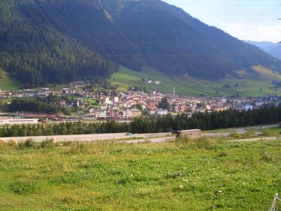
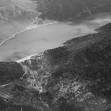
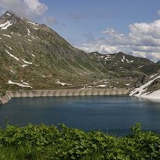
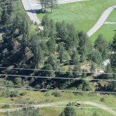
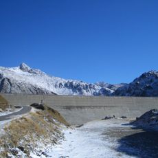
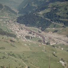
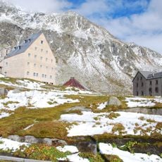
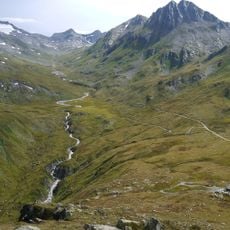
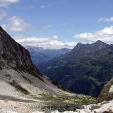
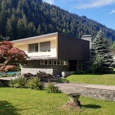
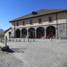
Airolo is a small municipality in Switzerland nestled in a deep valley surrounded by high peaks, sitting over 1,000 meters (3,300 feet) above sea level. The town features old stone buildings with large windows and is surrounded by forests, rocky slopes, and mountain trails leading to lakes, waterfalls, and alpine huts.
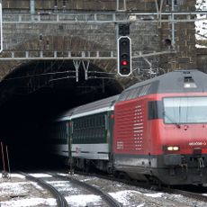
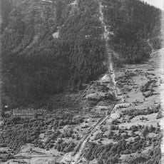
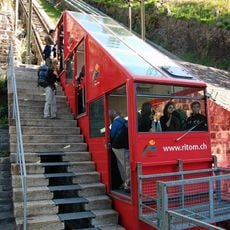
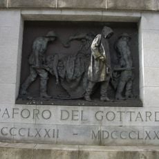
The town grew in importance around 1200 due to its position at the Gotthard Pass, a strategic route for trade and travel across the Alps over centuries. In the late 19th century, construction of the Gotthard Tunnel brought many workers to the area and left a memorial to those who lost their lives.
The town reflects alpine traditions where mountain life remains visible in daily routines and local practices. Italian is the main language spoken here, reflecting the cultural ties to different regions of Switzerland and the broader Alpine area.
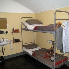
The town is well-connected by train and bus, making it a convenient starting point for mountain hikes or outdoor adventures. Basic accommodations are available in small hotels and inns, with local restaurants serving traditional Swiss dishes and regional cheese.
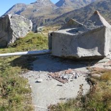
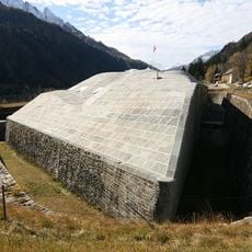
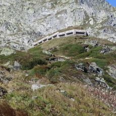
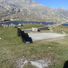
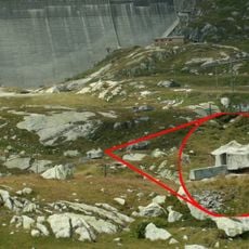
A hidden gem is Sasso San Gottardo, a fortress built into the mountainside with tunnels and exhibitions telling stories of the region's military past. Visitors can explore the tunnels and imagine soldiers who once guarded this strategic mountain crossing.
The community of curious travelers
AroundUs brings together thousands of curated places, local tips, and hidden gems, enriched daily by 60,000 contributors worldwide.