Porcupine Rim Trail, Mountain biking trail in Sand Flats Recreation Area, Utah, US
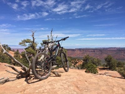
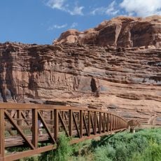
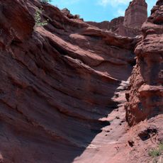
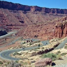
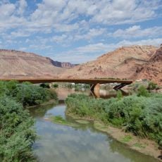
Porcupine Rim Trail is a 14.4-mile mountain biking route near Moab, Utah, starting in Sand Flats Recreation Area about 8 miles past the Slickrock trailhead. It begins with a 4-mile double-track climb gaining 900 feet to a scenic overlook, then descends 11 miles and 2,800 feet to the Colorado River, mixing rock, slickrock and short sandy sections. The final mile is very technical and exposed, ending at Highway 128 near Grandstaff Canyon.
The route started as a vehicle access way to Coffee Pot Rock in earlier times. It later developed into a recreational area managed by local authorities and became popular with mountain biking enthusiasts.
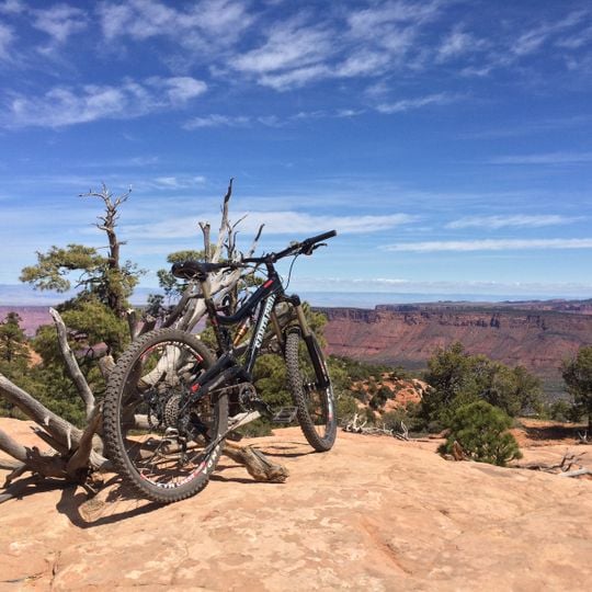
The trail attracts local mountain bikers who gather here during warm months to ride and connect through their shared passion for the sport. Riders form a community that regularly uses and maintains this route.
The trailhead sits in Sand Flats Recreation Area, about 8 miles past the Slickrock trailhead on Sand Flats Road. Riders usually shuttle to the start and ride the 14.4 miles one way, finishing at Highway 128 near Grandstaff Canyon; a 30.8-mile loop is also possible. The first 4 miles climb 900 feet, then 11 miles descend 2,800 feet to the Colorado River. The last mile is exposed and technical, and motorized use ends 8.6 miles from the trailhead.
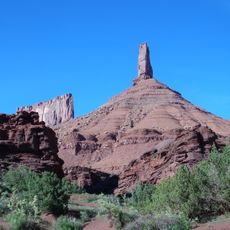
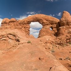
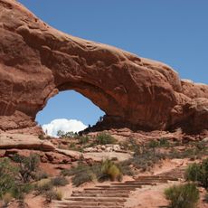
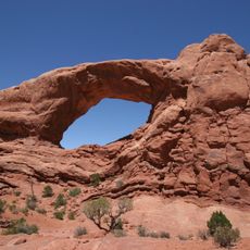
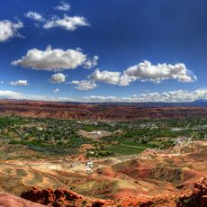
From higher spots along the route, you can see Castle Valley and the Colorado River canyon, plus the Book Cliffs and La Sal Mountains in the distance. These viewpoints offer moments to pause and take in the landscape.
The community of curious travelers
AroundUs brings together thousands of curated places, local tips, and hidden gems, enriched daily by 94,848 contributors worldwide.