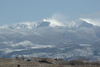
Truchas Peak, Mountain summit in Sangre de Cristo Range, New Mexico, US
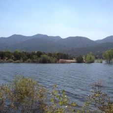
Truchas Peak is a mountain summit in the Sangre de Cristo Range of northern New Mexico, rising above the Pecos Wilderness. It sits among conifer forests, alpine lakes, and streams that drain toward the surrounding valleys.
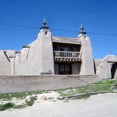
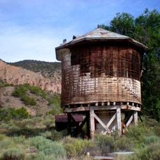
Spanish colonial settlers gave the peak its name in reference to the trout found in nearby waters, a practice common in naming landmarks across the region. The surrounding land was used for centuries by mountain communities for hunting and gathering.
The name "Truchas" comes from the Spanish word for trout, a reminder of the fish-filled streams that early settlers found in the area. Hikers passing through the valley below can still spot trout in the cold mountain streams today.
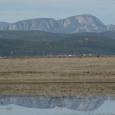
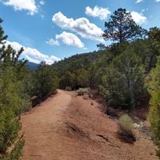
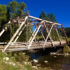
The peak can be reached by several hiking routes, and the western approach through the Todas las Almas valley is one of the more commonly used paths. No matter the season, mountain weather can change quickly, so bringing layers and proper footwear is a good idea.
Truchas Peak is the southernmost point in the contiguous United States to reach an elevation above 13,100 feet (4,000 meters). This makes it a notable target for peak baggers who track high-elevation summits across the country.
The community of curious travelers
AroundUs brings together thousands of curated places, local tips, and hidden gems, enriched daily by 60,000 contributors worldwide.