Westcliffe, Mountain town in Custer County, Colorado.
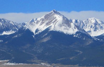
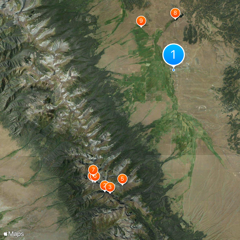
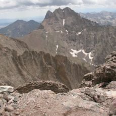
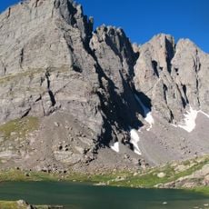
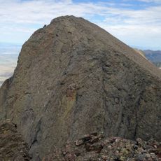
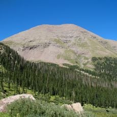
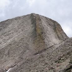
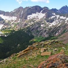
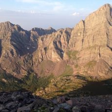
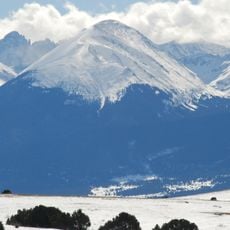
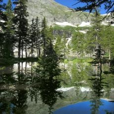
Westcliffe is a mountain town in Custer County, Colorado, situated between the Wet Mountains and Sangre de Cristo Range at approximately 7,900 feet (2,400 meters) elevation. The area is surrounded by mountain peaks and extensive natural landscapes, with over 200 miles of hiking trails and around 54 alpine lakes nearby.
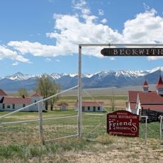
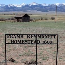
The Denver and Rio Grande Western Railroad founded Westcliffe in 1881 as a railroad settlement, and the town was officially incorporated in 1887. The railroad made the town's establishment and growth possible as a regional administrative center.
The Smokey Jack Observatory welcomes visitors to observe the night sky through its large telescope year-round. This gathering place has become central to how locals and travelers engage with the stars and share their fascination for astronomy.
Hiking is possible year-round, but spring through fall offers the best experience when high trails are snow-free and alpine lakes are easily reached. Winter conditions favor cross-country skiing on the trail network, while fishing opportunities remain available throughout the seasons.
Westcliffe holds official recognition as an International Dark Sky Community with strict light control policies that preserve natural darkness for sky observation. This community-wide commitment to controlling light pollution developed over years of dedicated effort to protect stargazing conditions.
The community of curious travelers
AroundUs brings together thousands of curated places, local tips, and hidden gems, enriched daily by 60,000 contributors worldwide.