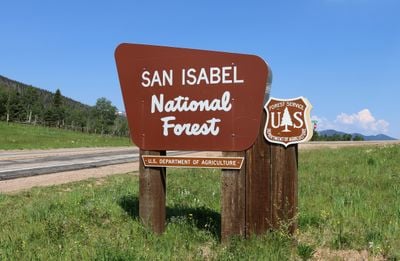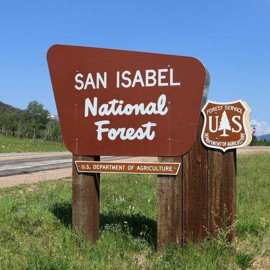
San Isabel National Forest, National Forest in central Colorado, United States
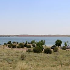
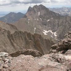
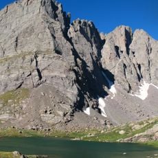
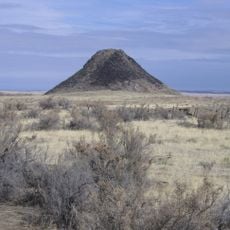
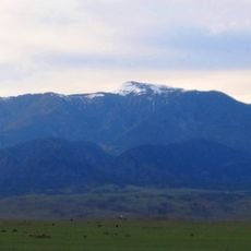
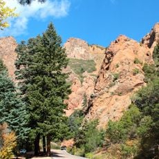
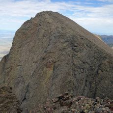
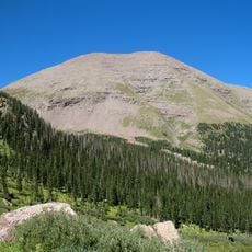
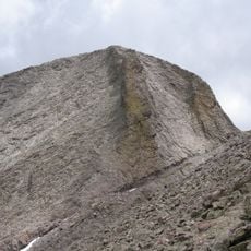
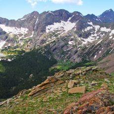
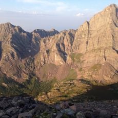
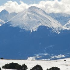
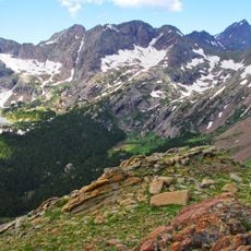
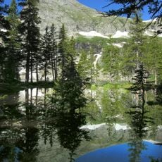
San Isabel National Forest spreads across central and southern Colorado mountain terrain with a variety of landscapes including high meadows, rugged peaks, and forested slopes. The forest contains numerous alpine lakes and valleys nestled between mountain ranges.
San Isabel National Forest is one of eleven national forests in Colorado. It is co-managed by the Forest Service with Pike National Forest, Cimarron National Grassland and Comanche National Grassland from offices in Pueblo, with ranger district offices in Cañon City, Leadville and Salida. Seven designated wilderness areas lie within it, four extending into neighbouring national forests.
The forest lies in the territory of the Ute, who used these mountains for hunting and gathering before Euro-American settlement. The name San Isabel comes from Spanish, and the forest is co-managed from Pueblo with Pike National Forest, Cimarron National Grassland and Comanche National Grassland. Ranger district offices sit in Cañon City, Leadville and Salida.
The forest offers numerous access points through well-marked trails and roads to different areas. Plan for high elevation conditions and prepare for weather changes that can shift quickly in mountain terrain.
Seven designated wilderness areas lie within the forest, and four of them cross into neighbouring national forests; Sangre de Cristo Wilderness also reaches Great Sand Dunes National Park, while Mount Massive Wilderness touches the Leadville National Fish Hatchery. The others are Buffalo Peaks, Collegiate Peaks, Greenhorn Mountain, Holy Cross and Spanish Peaks.
The community of curious travelers
AroundUs brings together thousands of curated places, local tips, and hidden gems, enriched daily by 94,461 contributors worldwide.