Chest opened
+${chestReward.xp} XP
Explorer
NOUVEAU ×${chestReward.collectible.quantity}
tapez pour fermer
Chest locked

Open chests in the app

Around Us is built for your phone — chests unlock when you walk, explore and capture nearby places.

Enable Location

We need your location to show you interesting places around you

Discover nearby places

Find interesting locations and hidden gems around you

Precise directions

Get accurate directions and distances to places

Your location is never shared with other users. It's only used when you tap the location button.

Log in to your account

Start exploring — it's free

Trusted by 72,991 travelers worldwide

Continue with Google
Continue with Apple
or

We will send you a code to connect

By continuing, you accept our Terms and Conditions and our Privacy Policy

Check your inbox

We've sent a pincode in your inbox. Please enter the code below.

Crandall Canyon Mine
Discussion Reviews Photo
23.3k Popularity

Crandall Canyon Mine, bituminous coal mine in Emery County, Utah, U.S

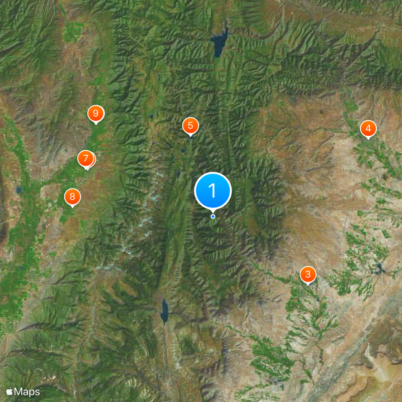
Crandall Canyon Mine is a coal mine located in Emery County, Utah, in the mountains east of Huntington. The mine was operated through deep underground tunnels driven into a steep and geologically complex mountain range.

The mine had been operating for decades before a major collapse on August 6, 2007, trapped nine miners deep underground. Three rescue workers were later killed during recovery efforts, and the mine was permanently closed after the disaster.

The mine has been closed since 2007 and the site is not open to the public, as it remains on restricted land. Those interested in the area can explore the surrounding mountain trails in Emery County from a safe distance.

The nine miners trapped in the 2007 collapse were never recovered, as rescue efforts were halted due to the ongoing risk of further collapses. Their remains are still inside the sealed mine, which is officially considered their burial site.

The community of curious travelers

AroundUs brings together thousands of curated places, local tips, and hidden gems, enriched daily by 60,000 contributors worldwide.

Start exploring
Location
Location
GPS coordinates
39.46000,-111.16800
Latest update
March 3, 2026 08:22
Around this place
Wasatch Academy
United States of America

Wasatch Academy

26.6 km
Huntington State Park
United States of America

Huntington State Park

23.2 km
USU Eastern Prehistoric Museum
United States of America

USU Eastern Prehistoric Museum

34.6 km
Electric Lake
United States of America

Electric Lake

16.8 km
Fairview City Hall
United States of America

Fairview City Hall

29.7 km
Morten Rasmussen House
United States of America

Morten Rasmussen House

27.1 km
Spring City School
United States of America

Spring City School

28 km
Fairview Tithing Office/Bishop's Storehouse
United States of America

Fairview Tithing Office/Bishop's Storehouse

29.8 km
Mortensen-Nelson House
United States of America

Mortensen-Nelson House

35.9 km
Mount Pleasant Commercial Historic District (Mount Pleasant, Utah)
United States of America

Mount Pleasant Commercial Historic District (Mount Pleasant, Utah)

26.5 km
Moroni High School Mechanical Arts Building
United States of America

Moroni High School Mechanical Arts Building

36.5 km
Mount Pleasant High School Mechanical Arts Building
United States of America

Mount Pleasant High School Mechanical Arts Building

26.5 km
James Anderson House
United States of America

James Anderson House

29.5 km
Niels P. Hjort House
United States of America

Niels P. Hjort House

29.8 km
James B. Staker House
United States of America

James B. Staker House

26.6 km
Castle Dale School
United States of America

Castle Dale School

30.3 km
Alma Staker House
United States of America

Alma Staker House

26.2 km
N.S. Nielson House
United States of America

N.S. Nielson House

26.8 km
Lars Peter Larson House
United States of America

Lars Peter Larson House

30.3 km
Paul C. Christensen House
United States of America

Paul C. Christensen House

30.3 km
Leander Lemmon House
United States of America

Leander Lemmon House

23 km
Mount Pleasant Carnegie Library
United States of America

Mount Pleasant Carnegie Library

26.4 km
John H. Seely House
United States of America

John H. Seely House

27.1 km
W.D. Candland House
United States of America

W.D. Candland House

26.8 km
Ole Arilsen House
United States of America

Ole Arilsen House

26.1 km
Fairview Museum of History and Art
United States of America

Fairview Museum of History and Art

29.8 km
Huntington Lake
United States of America

Huntington Lake

22.8 km
Scofield State Park
United States of America

Scofield State Park

34.4 km
Show the full map
Reviews
Share your experience

No review yet

Discussions
Start a discussion...

No discussion yet

« Crandall Canyon Mine - bituminous coal mine in Emery County, Utah, U.S » is provided by Around Us (aroundus.com). Images and texts are derived from Wikimedia project under a Creative Commons license. You are allowed to copy, distribute, and modify copies of this page, under the conditions set by the license, as long as this note is clearly visible.

Discover hidden gems everywhere you go!

From secret cafés to breathtaking viewpoints, skip the crowded tourist spots and find places that match your style. Our app makes it easy with voice search, smart filtering, route optimization, and insider tips from travelers worldwide. Download now for the complete mobile experience.

Around Us App Screenshot

A unique approach to discovering new places

Le Figaro

All the places worth exploring

France Info

A tailor-made excursion in just a few clicks

20 Minutes

Around Us
Travel Guide & Maps
Download

Send to your phone

QR Code
1

Open the camera app on your mobile.

2

Point at the QR code with your camera. A notification will appear.

3

Tap the notification to open the link.