Enable Location

We need your location to show you interesting places around you

Discover nearby places

Find interesting locations and hidden gems around you

Precise directions

Get accurate directions and distances to places

Your location is never shared with other users. It's only used when you tap the location button.

Mount Timpanogos Wilderness

Log in to your account

Start exploring — it's free

Trusted by 61,461 travelers worldwide

Continue with Google
Continue with Apple
or

We will send you a code to connect

By continuing, you accept our Terms and Conditions and our Privacy Policy

Check your inbox

We've sent a pincode in your inbox. Please enter the code below.

Mount Timpanogos Wilderness

Mount Timpanogos Wilderness, Protected wilderness area in Utah County, United States.

Description

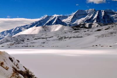
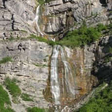
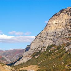
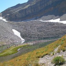
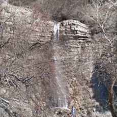
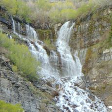
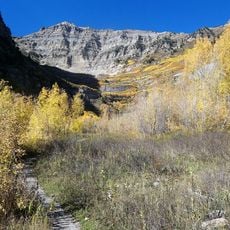
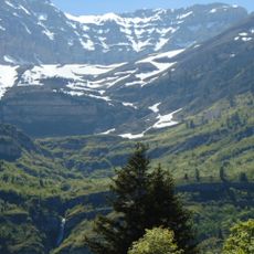
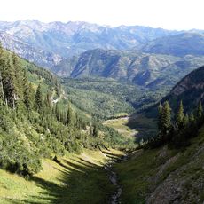
Mount Timpanogos Wilderness is a protected mountain region between American Fork Canyon and Provo Canyon with high peaks, thick forests, and open alpine fields. The terrain rises sharply from canyon valleys to windswept ridges where few trees survive.

History

The U.S. Forest Service officially protected the region in 1984 to keep its natural and ecological character intact. This designation stopped development plans and secured the area in its mostly unaltered state.

Culture

The mountain held deep importance for Ute tribes who hunted across its slopes and higher elevations for generations. Local names and stories still carry traces of this long relationship with the land.

Practical

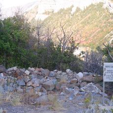
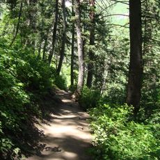
Two main access points, Timpooneke and Aspen Grove, lead into the wilderness from different sides. Visitors should be prepared for weather that changes quickly, especially at higher elevations where temperatures drop significantly.

Did you know?

A U.S. Air Force bomber crashed on the slopes in 1955 and remains of the aircraft still lie visible on a side trail branching from the main Timpooneke route. Finding this wreckage during a hike connects hikers directly to a dramatic moment in the mountain's recent past.

Location
Inception
1984
Elevation above the sea
3,293 m
GPS coordinates
40.38330,-111.65000
Latest update
December 12, 2025 09:01

AroundUs brings together thousands of curated places, local tips, and hidden gems, enriched daily by 60,000 contributors worldwide. Discover all places nearby (Utah County).

Around this place
Bridal Veil Falls
United States of America

Bridal Veil Falls

6.4 km
Provo Canyon
United States of America

Provo Canyon

6.4 km
Timpanogos Glacier
United States of America

Timpanogos Glacier

3.2 km
Battle Creek Falls
United States of America

Battle Creek Falls

4 km
Provo Canyon Guard Quarters
United States of America

Provo Canyon Guard Quarters

5.9 km
Alfred William Harper House
United States of America

Alfred William Harper House

7.1 km
Edward Wadley House
United States of America

Edward Wadley House

7.6 km
Neils Peter Larsen House
United States of America

Neils Peter Larsen House

7.5 km
Pleasant Grove Tithing Office
United States of America

Pleasant Grove Tithing Office

7.5 km
Pleasant Grove School
United States of America

Pleasant Grove School

7.7 km
Peter Axel Johnson House
United States of America

Peter Axel Johnson House

7.6 km
Thomas A. Richins House
United States of America

Thomas A. Richins House

7 km
William Friend Young House
United States of America

William Friend Young House

6.8 km
Samuel Green House
United States of America

Samuel Green House

7.6 km
Christen Larsen House
United States of America

Christen Larsen House

7 km
David and Drusilla Baxter House
United States of America

David and Drusilla Baxter House

7.6 km
William J. and Lizzie Cullimore House
United States of America

William J. and Lizzie Cullimore House

7.7 km
Jacob Hanmer White House
United States of America

Jacob Hanmer White House

7 km
Beers House-Hotel
United States of America

Beers House-Hotel

7.7 km
Fugal Dugout House
United States of America

Fugal Dugout House

7.1 km
Joseph Olpin House
United States of America

Joseph Olpin House

7.2 km
Scout Falls
United States of America

Scout Falls

3.9 km
Stewarts Cascades Trail
United States of America

Stewarts Cascades Trail

4.4 km
Olmstead Bridge
United States of America

Olmstead Bridge

7.6 km
Mount Timpanogos Trail
United States of America

Mount Timpanogos Trail

4.1 km
Cascade Cirque
United States of America

Cascade Cirque

2.1 km
Stewarts Cascades
United States of America

Stewarts Cascades

3.9 km
Giant Staircase
United States of America

Giant Staircase

5.7 km
Show the full map
« Mount Timpanogos Wilderness - Protected wilderness area in Utah County, United States » is provided by Around Us (aroundus.com). Images and texts are derived from Wikimedia project under a Creative Commons license. You are allowed to copy, distribute, and modify copies of this page, under the conditions set by the license, as long as this note is clearly visible.

Discover hidden gems everywhere you go!

From secret cafés to breathtaking viewpoints, skip the crowded tourist spots and find places that match your style. Our app makes it easy with voice search, smart filtering, route optimization, and insider tips from travelers worldwide. Download now for the complete mobile experience.

Around Us App Screenshot

A unique approach to discovering new places

Le Figaro

All the places worth exploring

France Info

A tailor-made excursion in just a few clicks

20 Minutes

Around Us
Travel Guide & Maps
Download

Send to your phone

QR Code
1

Open the camera app on your mobile.

2

Point at the QR code with your camera. A notification will appear.

3

Tap the notification to open the link.