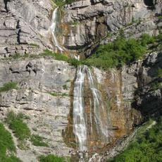
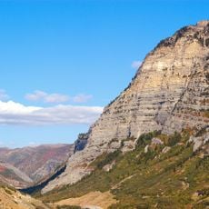
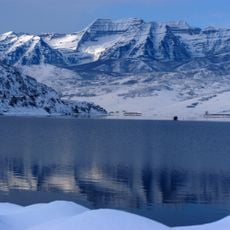
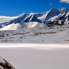
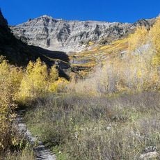
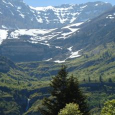
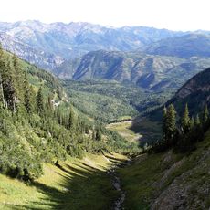
Timpanogos Glacier, Rock glacier in Utah County, United States.
Timpanogos Glacier is a rock glacier in a north-facing cirque on Mount Timpanogos, at 11,749 feet (3,581 m) in the Wasatch Range. It has three flow lobes; a 2026 University of Utah gravity study found an ice-rich core averaging 18.8 m thick, up to 55 m deep near the toe, and moving about 15 cm per year.
Eyewitness accounts describe crevasses in the early 20th century, but a 1981 study using rock rind measurements concluded the feature was more likely always a rock glacier during the neoglacial. Photographic evidence shows large portions were debris-covered by 1907. A 2026 University of Utah gravity study measured an ice-rich core averaging 18.8 meters thick, with the deepest section near the toe.
The name comes from Mount Timpanogos, the peak whose north-facing cirque holds the ice; the sources give no chiefly origin for it. The glacier lies in the Mount Timpanogos Wilderness of Uinta-Wasatch-Cache National Forest, and Emerald Lake, the small proglacial lake at its terminal moraine, sometimes turns blue as a sign of the buried ice.
The location requires specialized climbing skills and appropriate equipment to navigate safely due to its technical terrain. Visitors should arrive with alpine experience and knowledge of local conditions.
A 2026 University of Utah gravity survey found the ice-rich core averages 18.8 metres thick, reaches 30 to 45 metres along the centreline and may hit 55 metres near the toe. The core is about 83% ice and 17% rock, roughly 1.55 million cubic metres, and the whole mass moves about 15 centimetres per year.
The community of curious travelers
AroundUs brings together thousands of curated places, local tips, and hidden gems, enriched daily by 94,051 contributors worldwide.