
Ringhoffer Inscription
Ringhoffer Inscription
Location: Grand County
Inception: 1923
GPS coordinates: 38.79028,-109.68806
Latest update: September 23, 2025 14:48

Arches National Park
14.6 km
Landscape Arch
7 km
Balanced Rock
14.7 km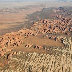
Devils Garden
11.4 km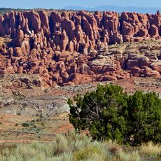
Fiery Furnace
11.4 km
Wall Arch
7 km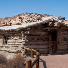
Wolfe Ranch
15.8 km
Merrimac Butte
14.7 km
Double O Arch
6 km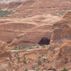
Black Cave Arch
6.9 km
Skyline Arch
8.7 km
Broken Arch
9.6 km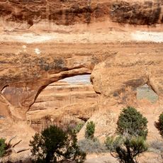
Partition Arch
7 km
Sand Dune Arch
9.8 km
Tower Arch
92 m
Mill Canyon Dinosaur Bone Trail
9.8 km
Pine Tree Arch
7.8 km
Balanced Rock Loop Trail
14.5 km
Klondike Bluffs
645 m
Devils Garden Campground
8.5 km
Fiery Furnace Viewpoint
12 km
Devils Garden Campground Amphitheater
8.7 km
Tunnel Arch
7.9 km
Navajo Arch
6.9 km
Twin Arch
11.9 km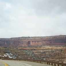
Sevenmile Canyon
14.3 km
Tapestry Arch
9.1 km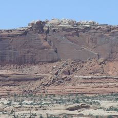
Monitor Butte
15 kmReviews
Visited this place? Tap the stars to rate it and share your experience / photos with the community! Try now! You can cancel it anytime.
Discover hidden gems everywhere you go!
From secret cafés to breathtaking viewpoints, skip the crowded tourist spots and find places that match your style. Our app makes it easy with voice search, smart filtering, route optimization, and insider tips from travelers worldwide. Download now for the complete mobile experience.

A unique approach to discovering new places❞
— Le Figaro
All the places worth exploring❞
— France Info
A tailor-made excursion in just a few clicks❞
— 20 Minutes