
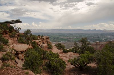
Bookcliff Shelter
Location: Mesa County
Inception: 1965
Architects: Philip L. Romigh
Website: https://nps.gov/colm/planyourvisit/book-cliffs-shelter.htm
GPS coordinates: 39.10397,-108.72733
Latest update: October 24, 2025 17:19
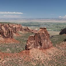
Colorado National Monument
7.7 km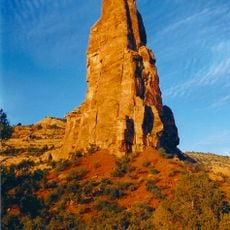
Independence Monument
968 m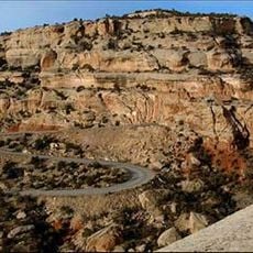
Rim Rock Drive
7.4 km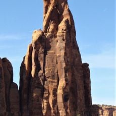
Kissing Couple
1.8 km
Kokopelli's Trail
11.9 km
Serpents Trail
11.3 km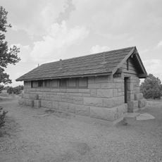
Saddlehorn Comfort Station
461 m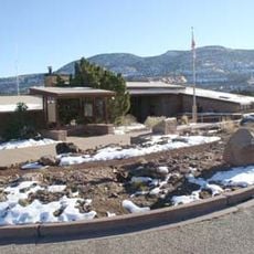
Colorado National Monument Visitor Center Complex
702 m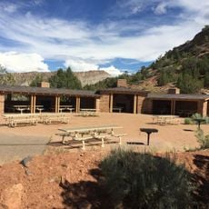
Devils Kitchen Picnic Shelter
11.3 km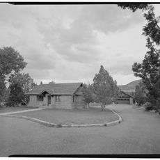
Saddlehorn Caretaker's House and Garage
614 m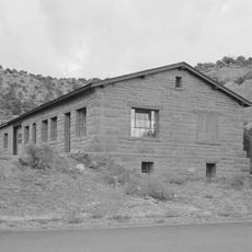
Saddlehorn Utility Area Historic District
1 km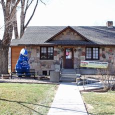
Fruita Museum
5.1 km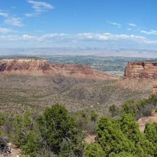
Monument Canyon
1.5 km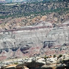
No Thoroughfare Canyon
13 km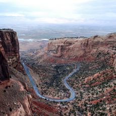
Fruita Canyon
1.5 km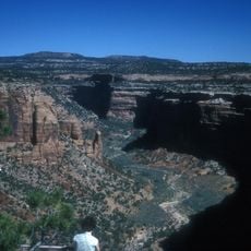
Ute Canyon
7.8 km
Saddlehorn Visitor Center
702 m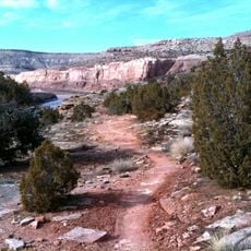
Horsethief Canyon
5.8 km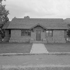
Saddlehorn Caretaker's Residence
614 m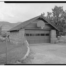
Saddlehorn Caretaker's Garage
631 m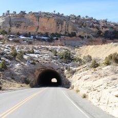
East Tunnel
10.6 km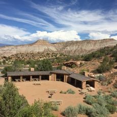
Devils Kitchen Picnic Area
11.3 km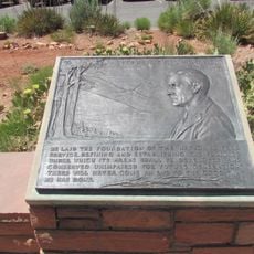
Mather Plaque in Colorado National Monument
702 m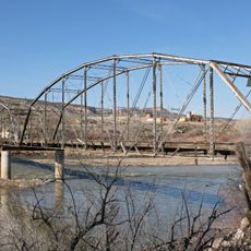
Fruita Bridge
3.7 km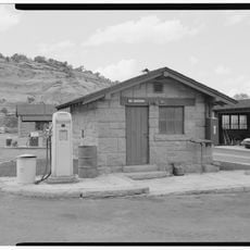
Saddlehorn Oil Storage Building
1 km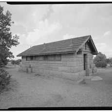
Saddlehorn Campground
489 m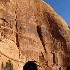
West Lower Tunnel
1.3 km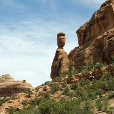
Balanced Rock
713 mReviews
Visited this place? Tap the stars to rate it and share your experience / photos with the community! Try now! You can cancel it anytime.
Discover hidden gems everywhere you go!
From secret cafés to breathtaking viewpoints, skip the crowded tourist spots and find places that match your style. Our app makes it easy with voice search, smart filtering, route optimization, and insider tips from travelers worldwide. Download now for the complete mobile experience.

A unique approach to discovering new places❞
— Le Figaro
All the places worth exploring❞
— France Info
A tailor-made excursion in just a few clicks❞
— 20 Minutes