Chest opened
+${chestReward.xp} XP
Explorer
NOUVEAU ×${chestReward.collectible.quantity}
tapez pour fermer
Chest locked

Open chests in the app

Around Us is built for your phone — chests unlock when you walk, explore and capture nearby places.

Enable Location

We need your location to show you interesting places around you

Discover nearby places

Find interesting locations and hidden gems around you

Precise directions

Get accurate directions and distances to places

Your location is never shared with other users. It's only used when you tap the location button.

Log in to your account

Start exploring — it's free

Trusted by 72,885 travelers worldwide

Continue with Google
Continue with Apple
or

We will send you a code to connect

By continuing, you accept our Terms and Conditions and our Privacy Policy

Check your inbox

We've sent a pincode in your inbox. Please enter the code below.

Discussion Reviews Photo
10.3k Popularity

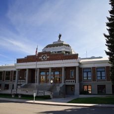
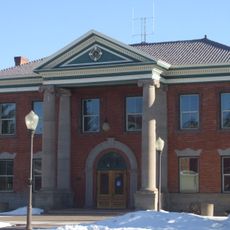
Fort Bridger, Census-designated place in Uinta County, Wyoming.

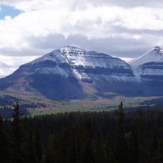
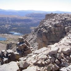
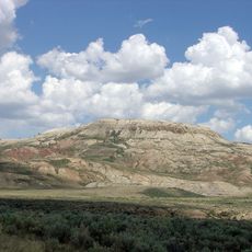
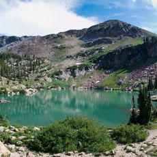
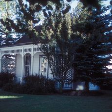
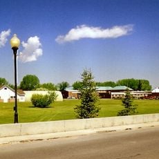
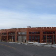
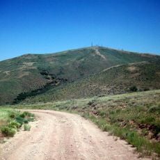
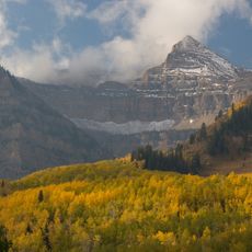
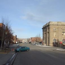
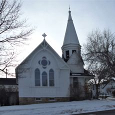
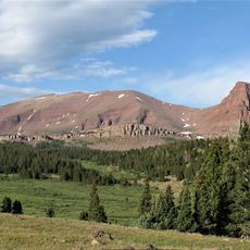
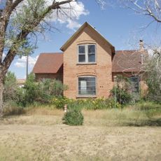
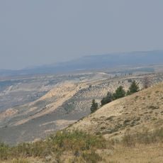
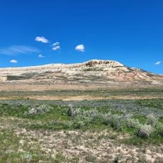
Fort Bridger is a small settlement in eastern Wyoming at an elevation of about 2000 meters with residential and commercial buildings spread across several square miles. The community contains historic structures and modern infrastructure that together define the place.

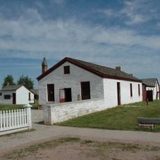
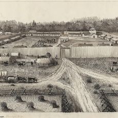
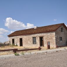
Jim Bridger and Louis Vasquez founded this trading post in 1843 as a vital supply point for travelers on the Oregon, California, and Mormon trails. Later during the 1850s, the Mormons constructed a defensive wall to protect the settlement.

The annual Fort Bridger Rendezvous draws visitors who recreate the trading practices and daily routines of 19th-century frontier merchants. The gathering shows how people lived and conducted business in this remote region during that era.

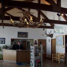
The location is accessible by local roads and offers two schools run by Uinta County School District 4. Visitors should be prepared for the high elevation and expect weather conditions and road situations to vary by season.

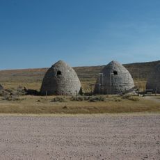
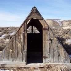
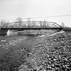
A Pony Express barn and remnants of the Mormon defensive wall from the 1850s remain visible at the site today. These surviving structures show the different historical periods that shaped this place.

The community of curious travelers

AroundUs brings together thousands of curated places, local tips, and hidden gems, enriched daily by 60,000 contributors worldwide.

Start exploring
Location
Elevation above the sea
2,034 m
GPS coordinates
41.31861,-110.38639
Latest update
December 10, 2025 15:54
Around this place
King's Peak
United States of America

King's Peak

60.4 km
Fort Bridger
United States of America

Fort Bridger

474 m
High Uintas Wilderness
United States of America

High Uintas Wilderness

65.3 km
Fossil Butte National Monument
United States of America

Fossil Butte National Monument

67.9 km
Wasatch-Cache National Forest
United States of America

Wasatch-Cache National Forest

42.6 km
J. C. Penney Historic District
United States of America

J. C. Penney Historic District

54.4 km
J.C. Penney House
United States of America

J.C. Penney House

54.5 km
Bear River State Park
United States of America

Bear River State Park

46.4 km
Fort Supply
United States of America

Fort Supply

17.4 km
Piedmont Charcoal Kilns
United States of America

Piedmont Charcoal Kilns

22.3 km
Wyoming State Insane Asylum
United States of America

Wyoming State Insane Asylum

47.5 km
Union Pacific Railroad Complex
United States of America

Union Pacific Railroad Complex

49 km
Granger Stage Station State Historic Site
United States of America

Granger Stage Station State Historic Site

46.1 km
Medicine Butte
United States of America

Medicine Butte

43.8 km
Ute Mountain Fire Tower
United States of America

Ute Mountain Fire Tower

70.4 km
United States of America

South Kings Peak

61.5 km
A. V. Quinn House
United States of America

A. V. Quinn House

48.9 km
Mount Emmons
United States of America

Mount Emmons

67.9 km
Downtown Evanston Historic District
United States of America

Downtown Evanston Historic District

48.7 km
St. Paul's Episcopal Church
United States of America

St. Paul's Episcopal Church

49 km
Haddenham Cabin
United States of America

Haddenham Cabin

63.8 km
Lincoln County Courthouse
United States of America

Lincoln County Courthouse

54.4 km
Uinta County Courthouse
United States of America

Uinta County Courthouse

48.7 km
ERT Bridge over Black's Fork
United States of America

ERT Bridge over Black's Fork

1.9 km
Mount Powell
United States of America

Mount Powell

58 km
Woodruff Stake House
United States of America

Woodruff Stake House

68.6 km
American Fossil Quarry
United States of America

American Fossil Quarry

65.4 km
Ulrich's Fossil Gallery
United States of America

Ulrich's Fossil Gallery

62.4 km
Show the full map
Reviews
Share your experience

No review yet

Discussions
Start a discussion...

No discussion yet

« Fort Bridger - Census-designated place in Uinta County, Wyoming » is provided by Around Us (aroundus.com). Images and texts are derived from Wikimedia project under a Creative Commons license. You are allowed to copy, distribute, and modify copies of this page, under the conditions set by the license, as long as this note is clearly visible.

Discover hidden gems everywhere you go!

From secret cafés to breathtaking viewpoints, skip the crowded tourist spots and find places that match your style. Our app makes it easy with voice search, smart filtering, route optimization, and insider tips from travelers worldwide. Download now for the complete mobile experience.

Around Us App Screenshot

A unique approach to discovering new places

Le Figaro

All the places worth exploring

France Info

A tailor-made excursion in just a few clicks

20 Minutes

Around Us
Travel Guide & Maps
Download

Send to your phone

QR Code
1

Open the camera app on your mobile.

2

Point at the QR code with your camera. A notification will appear.

3

Tap the notification to open the link.