Enable Location

We need your location to show you interesting places around you

Discover nearby places

Find interesting locations and hidden gems around you

Precise directions

Get accurate directions and distances to places

Your location is never shared with other users. It's only used when you tap the location button.

Rock Springs

Log in to your account

Start exploring — it's free

Trusted by 62,257 travelers worldwide

Continue with Google
Continue with Apple
or

We will send you a code to connect

By continuing, you accept our Terms and Conditions and our Privacy Policy

Check your inbox

We've sent a pincode in your inbox. Please enter the code below.

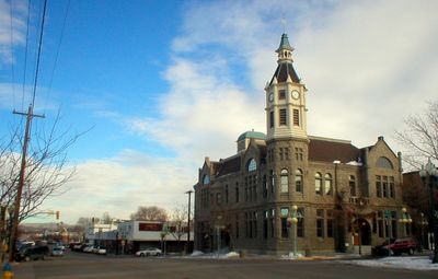
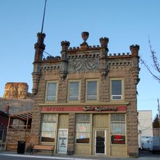
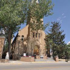
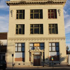
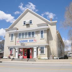
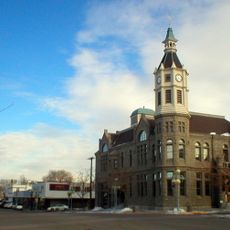
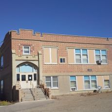
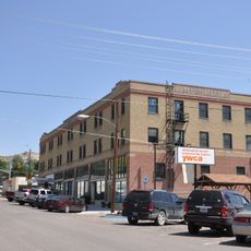
Rock Springs, City center in Sweetwater County, Wyoming, US.

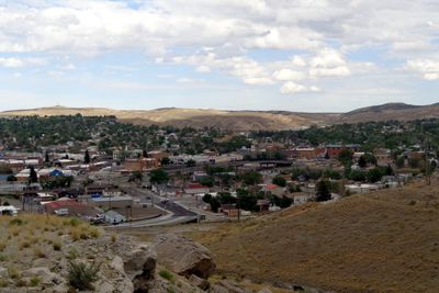
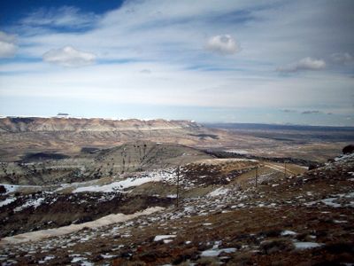
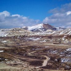
Rock Springs sits at 1947 meters elevation near the Continental Divide in southwestern Wyoming and covers roughly 50 square kilometers of high desert terrain. The city ranks among the larger population centers in the state and includes schools, a community college, and access through Interstate 80.

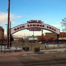
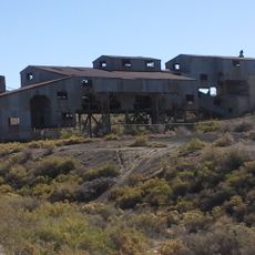
The settlement gained official status in 1888 after coal deposits attracted the Union Pacific Railroad to the region. Mining operations drew workers from around the world and helped the town grow into one of the larger cities in Wyoming.

Miners from 56 nations arrived to work in the coal seams, bringing their languages and customs with them into this high-altitude settlement. Today street names and a few older neighborhoods recall that era, though many communities have now blended together over the generations.

The location along Interstate 80 makes this a convenient stopping point for travelers moving between Salt Lake City and Cheyenne. Gas stations, grocery stores, and a few restaurants line the main road that runs parallel to the highway.

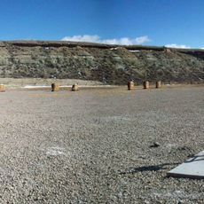
The natural spring that gave the town its name vanished over the years as underground coal mining in district number six altered the rock layers. Water no longer found its way to the surface after the tunnels changed the geology beneath the ground.

The community of curious travelers

AroundUs brings together thousands of curated places, local tips, and hidden gems, enriched daily by 60,000 contributors worldwide.

Start exploring
Inception
1888
Elevation above the sea
1,947 m
GPS coordinates
41.58500,-109.22139
Latest update
December 14, 2025 17:03
Around this place
Sweetwater Brewery
United States of America

Sweetwater Brewery

21.5 km
Expedition Island
United States of America

Expedition Island

21.9 km
Wilkins Peak
United States of America

Wilkins Peak

14.4 km
Almond Formation
United States of America

Almond Formation

2.5 km
Our Lady of Sorrows Catholic Church
United States of America

Our Lady of Sorrows Catholic Church

248 m
Saints Cyril and Methodius Catholic Church and Rectory
United States of America

Saints Cyril and Methodius Catholic Church and Rectory

721 m
Downtown Rock Springs Historic District
United States of America

Downtown Rock Springs Historic District

257 m
First National Bank Building
United States of America

First National Bank Building

751 m
Slovenski Dom
United States of America

Slovenski Dom

713 m
Reliance Tipple
United States of America

Reliance Tipple

9.5 km
City Hall
United States of America

City Hall

69 m
Scott's Bottom Nature Area
United States of America

Scott's Bottom Nature Area

20.6 km
Masonic Temple
United States of America

Masonic Temple

47 m
Reliance School and Gymnasium
United States of America

Reliance School and Gymnasium

8.8 km
Gras House
United States of America

Gras House

591 m
Taliaferro House
United States of America

Taliaferro House

447 m
Rock Springs Elks' Lodge No. 624
United States of America

Rock Springs Elks' Lodge No. 624

249 m
Green River Downtown Historic District
United States of America

Green River Downtown Historic District

21.4 km
Wardell Court Historic Residential District
United States of America

Wardell Court Historic Residential District

690 m
United States of America

Bunning Park

526 m
United States of America

Lion Bluffs

17.8 km
United States of America

Grand Theatre

259 m
United States of America

White Mountain Golf Course

6.8 km
United States of America

M60

21.2 km
United States of America

US Air Force Jet

2.1 km
United States of America

Statue, Work of art

3.6 km
United States of America

Work of art, statue

3.6 km
United States of America

Rock Springs Wild Horse Holding Facility Viewpoint

5 km
Show the full map
« Rock Springs - City center in Sweetwater County, Wyoming, US » is provided by Around Us (aroundus.com). Images and texts are derived from Wikimedia project under a Creative Commons license. You are allowed to copy, distribute, and modify copies of this page, under the conditions set by the license, as long as this note is clearly visible.

Discover hidden gems everywhere you go!

From secret cafés to breathtaking viewpoints, skip the crowded tourist spots and find places that match your style. Our app makes it easy with voice search, smart filtering, route optimization, and insider tips from travelers worldwide. Download now for the complete mobile experience.

Around Us App Screenshot

A unique approach to discovering new places

Le Figaro

All the places worth exploring

France Info

A tailor-made excursion in just a few clicks

20 Minutes

Around Us
Travel Guide & Maps
Download

Send to your phone

QR Code
1

Open the camera app on your mobile.

2

Point at the QR code with your camera. A notification will appear.

3

Tap the notification to open the link.