Laramie Mountains, Mountain range between Cheyenne and Laramie, Wyoming and Colorado, United States
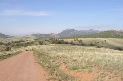
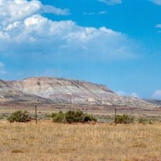
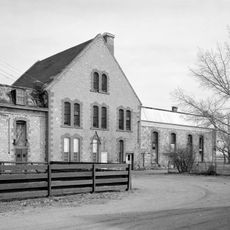
The Laramie Mountains form a ridge system spanning hundreds of miles from northern Colorado into southeastern Wyoming. Peaks range from 8,000 to 9,500 feet, with forested slopes giving way to open alpine areas and grassland plateaus.
The range rose from the earth around 70 million years ago when tectonic forces pushed huge blocks of rock upward. Since then, erosion by water and wind has sculpted the landscape into its current form.
The name comes from Jacques La Ramie, a French fur trapper who explored the region in the 1800s. Native peoples used these mountains long before as crucial pathways between hunting grounds.
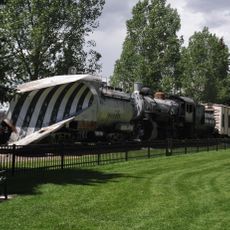
Hiking and camping are possible year-round, though warmer months work best for longer treks and exploration. Several campgrounds and trails exist throughout, ranging from easy day walks to challenging multi-day backpacking routes.
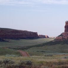
Some peaks consist of bare granite that rises sharply above surrounding plateaus, creating a striking contrast. These granite formations, particularly visible near Sherman, resemble islands rising from flat lands.
The community of curious travelers
AroundUs brings together thousands of curated places, local tips, and hidden gems, enriched daily by 60,000 contributors worldwide.