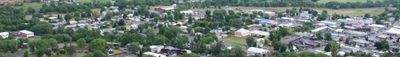
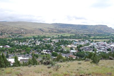
John Day, Regional hub city in Grant County, Oregon, USA
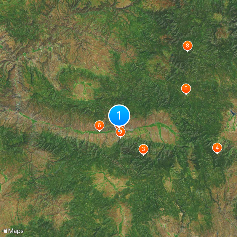
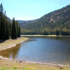
John Day sits at the junction of U.S. Routes 26 and 395, surrounded by the Strawberry Mountains to the south and Blue Mountains to the east. The city functions as a regional center in Grant County with various accommodations and restaurants for visitors.
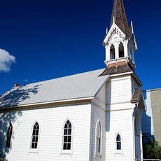
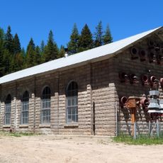
The city took its name from the John Day River, named after a Virginia member of the 1811 Astor Expedition who explored this region. It later developed into a trading center for mining and agricultural activity in the surrounding area.
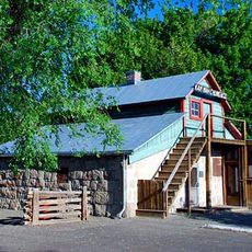
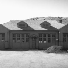
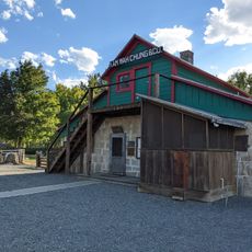
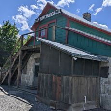
The Kam Wah Chung Museum displays a 19th-century Chinese apothecary shop that tells the story of the substantial Chinese community who lived here during the 1880s. The buildings and artifacts offer insight into how people lived and worked in that era.
The city offers several accommodations and restaurants and serves as a gateway to the John Day Fossil Beds and nearby natural areas. Visitors should know that weather at this elevation can fluctuate significantly, and the surroundings can be snowy during winter months.
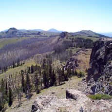
Nearby are fossils from the Eocene epoch that show what the landscape looked like millions of years ago, featuring tropical plants and animals. The discoveries in the John Day Fossil Beds represent some of the most important collections for understanding the evolution of fossil mammals in North America.
The community of curious travelers
AroundUs brings together thousands of curated places, local tips, and hidden gems, enriched daily by 60,000 contributors worldwide.