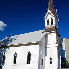
Bates State Park, State park in eastern Oregon, United States.
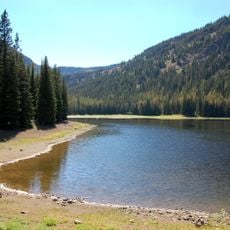
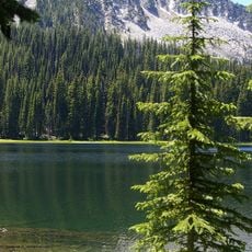
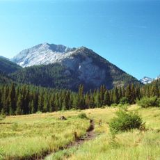
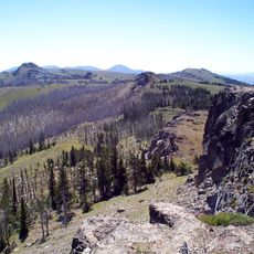
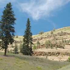
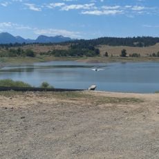
Bates State Park is a state park in eastern Oregon covering about 130 acres in the Blue Mountains. Multiple hiking trails run through the property, following the Middle Fork John Day River, Bridge Creek, and Clear Creek as they cut through the landscape.
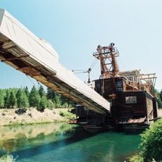
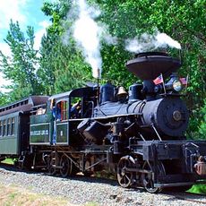
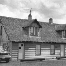
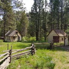
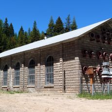
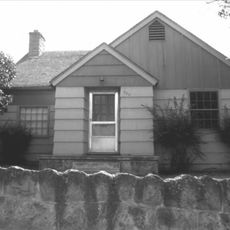
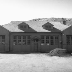
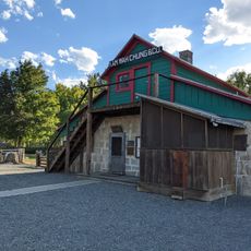
The site was originally home to a lumber mill that operated from 1917 to 1975 and shaped the area's development. After decades of sitting unused, the land became a state park in 2011.
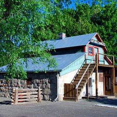
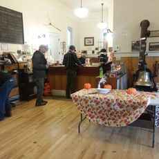
Former residents of the Bates mill town contributed to preserving the area's heritage through interpretive panels depicting life in the early 20th century.
The park offers around 28 primitive campsites for tents and RVs, plus six additional spots for hikers and cyclists available from May through October. Visitors should expect basic amenities and note that camping options fill quickly during summer months.
Just outside the park grows one of the largest living organisms on Earth, a vast honey fungus that spreads across roughly 2,400 hectares (6,000 acres) underground. This massive fungal network has existed for centuries and ranks among the most remarkable natural phenomena in the region.
The community of curious travelers
AroundUs brings together thousands of curated places, local tips, and hidden gems, enriched daily by 60,000 contributors worldwide.