
Coal Bank, cliff in Owyhee County, Idaho, United States of America
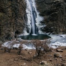
Jump Creek Falls
27.2 km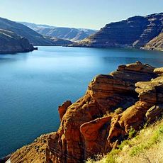
Owyhee Reservoir
47 km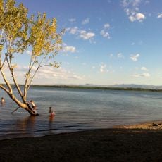
Deer Flat National Wildlife Refuge
37.3 km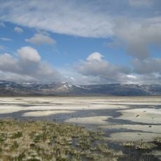
Northern Basin and Range ecoregion
29.7 km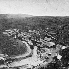
De Lamar, Idaho
24.1 km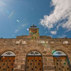
Our Lady, Queen of Heaven Church
42.7 km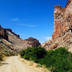
Succor Creek State Natural Area
34.5 km
Warhawk Air Museum
46.3 km
Lakeview Water Park
45.1 km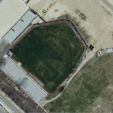
Simplot Stadium
48.1 km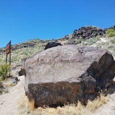
Map Rock Petroglyphs Historic District
23 km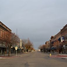
Nampa Historic District
44.1 km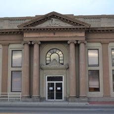
Farmers and Merchants Bank
44.1 km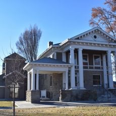
Blatchley Hall
47.8 km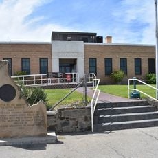
Owyhee County Courthouse
23.9 km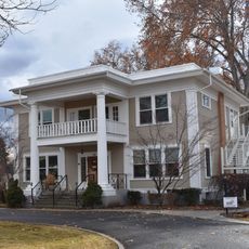
Henry W. and Ida Frost Dorman House
47.6 km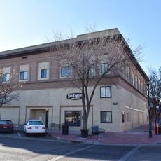
Nampa Department Store
44.9 km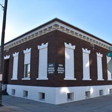
Nampa and Meridian Irrigation District Office
44 km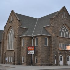
Nampa Presbyterian Church
43.9 km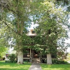
Jacob P. Lockman House
44.4 km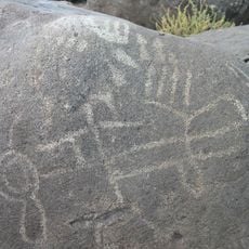
Guffey Butte–Black Butte Archaeological District
26.8 km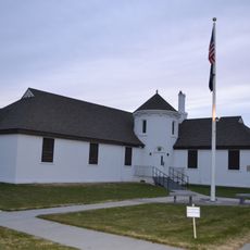
Nampa American Legion Chateau
44 km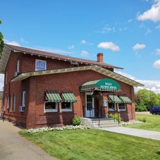
H. Orton Wiley House
42.4 km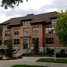
Sterry Hall
47.9 km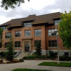
Carrie Adell Strahorn Memorial Library
47.9 km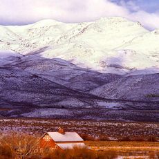
Noble Horse Barn
7.7 km
Silver City Historic District
26.4 km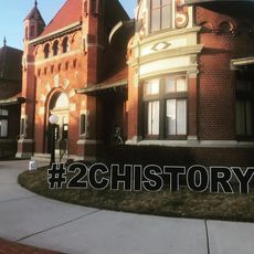
Nampa Train Depot
44.2 kmReviews
Visited this place? Tap the stars to rate it and share your experience / photos with the community! Try now! You can cancel it anytime.
Discover hidden gems everywhere you go!
From secret cafés to breathtaking viewpoints, skip the crowded tourist spots and find places that match your style. Our app makes it easy with voice search, smart filtering, route optimization, and insider tips from travelers worldwide. Download now for the complete mobile experience.

A unique approach to discovering new places❞
— Le Figaro
All the places worth exploring❞
— France Info
A tailor-made excursion in just a few clicks❞
— 20 Minutes