Nez Perce County

Log in to your account

AroundUs is a community-driven map of interesting places, built by curious explorers like you. It grows with every review, story, and photo you share.
Connect to save your favorite spots, contribute locations, and create personalized routes.
Continue with Google
Continue with Apple
Continue with X
Continue with Facebook
Continue with email
By continuing, you accept our Terms and Conditions and our Privacy Policy
Create an account
Add to collection
Map
Suggest a change
Share

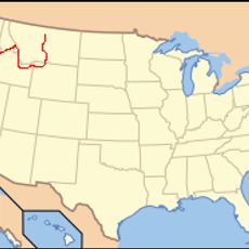
Nez Perce County, Administrative division in North Central Idaho, United States.

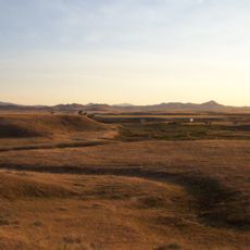
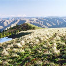
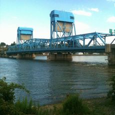
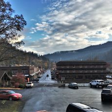
Nez Perce County sits in north-central Idaho where the Snake and Clearwater Rivers converge as they flow toward the Washington border. The landscape features river valleys, forested hills, and open terrain shaped by these major waterways.

The county was established in 1861 when the territory was part of Washington, making it one of the earliest administrative divisions in the region. Its boundaries shifted over time as the territory reorganized and developed.

The region carries the name of the Nez Perce tribe, whose presence and stories remain woven into the local community today. Visitors can find this connection reflected in how people speak about and relate to the land around them.

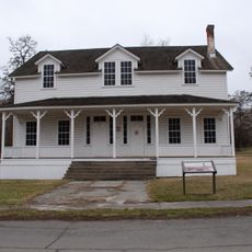
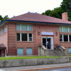
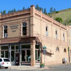
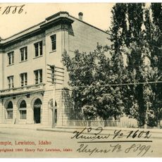
The county seat is Lewiston, where most services and shops are located downtown near the courthouse. A car is necessary for exploring the region, as public transportation is limited outside the main city.

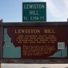
The county includes Idaho's lowest elevation point where the Snake River flows toward Washington. This geographic detail reveals the dramatic range of the state's terrain.

Website: http://co.nezperce.id.us

GPS coordinates: 46.39599,-116.80723

Latest update: December 7, 2025 20:21

Photos
Around this place
Nez Perce National Historical Park
United States of America

Nez Perce National Historical Park

5.8 km
Nez Perce National Historic Trail
United States of America

Nez Perce National Historic Trail

44.6 km
Lewiston Hill
United States of America

Lewiston Hill

15 km
Fields Spring State Park
United States of America

Fields Spring State Park

45.3 km
Fort Lapwai
United States of America

Fort Lapwai

6.1 km
Sternwheeler Jean
United States of America

Sternwheeler Jean

19.4 km
Full Gospel Church
United States of America

Full Gospel Church

19.6 km
Interstate Highway Bridge
United States of America

Interstate Highway Bridge

17.8 km
American Women's League Chapter House
United States of America

American Women's League Chapter House

30.9 km
Gaylord Thompson House
United States of America

Gaylord Thompson House

15.2 km
Thomas Kirby House
United States of America

Thomas Kirby House

27.3 km
First Presbyterian Church
United States of America

First Presbyterian Church

938 m
21 Ranchhouse
United States of America

21 Ranchhouse

19.5 km
Indian Timothy Memorial Bridge
United States of America

Indian Timothy Memorial Bridge

31.2 km
Nave Apartments
United States of America

Nave Apartments

16.6 km
James Asposas House
United States of America

James Asposas House

15.5 km
Clarkston Public Library
United States of America

Clarkston Public Library

18.3 km
Orofino Historic District
United States of America

Orofino Historic District

43.5 km
Frank Booth House
United States of America

Frank Booth House

15.5 km
Genesee Exchange Bank
United States of America

Genesee Exchange Bank

19.5 km
James V. and Sophia Baker House
United States of America

James V. and Sophia Baker House

52.4 km
Cooper's Ferry
United States of America

Cooper's Ferry

61.5 km
William and Elizabeth McLaren House
United States of America

William and Elizabeth McLaren House

15.5 km
Kendrick Fraternal Temple
United States of America

Kendrick Fraternal Temple

27.1 km
C. C. Van Arsdol House
United States of America

C. C. Van Arsdol House

20.1 km
Agnes M. Tamblyn House
United States of America

Agnes M. Tamblyn House

15.6 km
Temple Theatre
United States of America

Temple Theatre

16.7 km
First Lapwai Bank
United States of America

First Lapwai Bank

790 m
Show the full map
Reviews

Visited this place? Tap the stars to rate it and share your experience / photos with the community! Try now! You can cancel it anytime.

« Nez Perce County - Administrative division in North Central Idaho, United States » is provided by Around Us (aroundus.com). Images and texts are derived from Wikimedia project under a Creative Commons license. You are allowed to copy, distribute, and modify copies of this page, under the conditions set by the license, as long as this note is clearly visible.

Discover hidden gems everywhere you go!

From secret cafés to breathtaking viewpoints, skip the crowded tourist spots and find places that match your style. Our app makes it easy with voice search, smart filtering, route optimization, and insider tips from travelers worldwide. Download now for the complete mobile experience.

Around Us App Screenshot

A unique approach to discovering new places

Le Figaro

All the places worth exploring

France Info

A tailor-made excursion in just a few clicks

20 Minutes